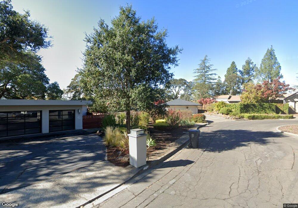
25 Gleneagle Cir Napa, CA 94558
Silverado Resort NeighborhoodEstimated Value: $1,093,714 - $2,875,000
3
Beds
2
Baths
1,937
Sq Ft
$951/Sq Ft
Est. Value
About This Home
This home is located at 25 Gleneagle Cir, Napa, CA 94558 and is currently estimated at $1,842,429, approximately $951 per square foot. 25 Gleneagle Cir is a home located in Napa County with nearby schools including Vichy Elementary School, Silverado Middle School, and Vintage High School.
Ownership History
Date
Name
Owned For
Owner Type
Purchase Details
Closed on
Oct 30, 2020
Sold by
Labagh Hoke Marie C
Bought by
Labagh Hoke Marie and Anthony T Hoke And Marie C Lab
Current Estimated Value
Home Financials for this Owner
Home Financials are based on the most recent Mortgage that was taken out on this home.
Original Mortgage
$305,000
Interest Rate
2.9%
Mortgage Type
New Conventional
Purchase Details
Closed on
Apr 3, 2013
Sold by
Hoke Anthony and Hoke Anthony T
Bought by
Hoke Anthony T and Labagh Hoke Marie
Purchase Details
Closed on
Nov 2, 1994
Sold by
Schwatka Audrey
Bought by
Schwatka Audrey P and Audrey P Schwatka 1991 Trust
Create a Home Valuation Report for This Property
The Home Valuation Report is an in-depth analysis detailing your home's value as well as a comparison with similar homes in the area
Home Values in the Area
Average Home Value in this Area
Purchase History
| Date | Buyer | Sale Price | Title Company |
|---|---|---|---|
| Labagh Hoke Marie | -- | Old Republic Title Company | |
| Labagh Hoke Marie C | -- | Old Republic Title Company | |
| Hoke Anthony T | -- | None Available | |
| Hoke Anthony | -- | None Available | |
| Schwatka Audrey P | -- | -- |
Source: Public Records
Mortgage History
| Date | Status | Borrower | Loan Amount |
|---|---|---|---|
| Closed | Labagh Hoke Marie C | $305,000 |
Source: Public Records
Tax History Compared to Growth
Tax History
| Year | Tax Paid | Tax Assessment Tax Assessment Total Assessment is a certain percentage of the fair market value that is determined by local assessors to be the total taxable value of land and additions on the property. | Land | Improvement |
|---|---|---|---|---|
| 2025 | $3,259 | $202,617 | $56,531 | $146,086 |
| 2024 | $3,259 | $198,645 | $55,423 | $143,222 |
| 2023 | $3,259 | $194,751 | $54,337 | $140,414 |
| 2022 | $3,092 | $190,933 | $53,272 | $137,661 |
| 2021 | $3,046 | $187,190 | $52,228 | $134,962 |
| 2020 | $3,018 | $185,272 | $51,693 | $133,579 |
| 2019 | $2,958 | $181,640 | $50,680 | $130,960 |
| 2018 | $2,896 | $178,080 | $49,687 | $128,393 |
| 2017 | $2,794 | $174,589 | $48,713 | $125,876 |
| 2016 | $2,728 | $171,166 | $47,758 | $123,408 |
| 2015 | $2,515 | $168,596 | $47,041 | $121,555 |
| 2014 | $2,475 | $165,294 | $46,120 | $119,174 |
Source: Public Records
Map
Nearby Homes
- 833 Augusta Cir Unit 34
- 2186 Monticello Rd
- 14 Maui Way
- 523 Westgate Dr
- 2277 Monticello Rd
- 2152 Monticello Rd
- 2134 Monticello Rd
- 540 Westgate Dr
- 350 Deer Hollow Dr
- 1166 Castle Oaks Dr
- 2143 Monticello Rd
- 1167 Castle Oaks Dr
- 346 Deer Hollow Dr
- 1101 Castle Oaks Dr
- 164 Bonnie Brook Dr Unit 17
- 421 Bear Creek Cir
- 1600 Atlas Peak Rd Unit 432
- 1600 Atlas Peak Rd Unit 428
- 1600 Atlas Peak Rd Unit 365
- 117 Milliken Creek Dr
- 31 Gleneagle Cir
- 16 Merion Cir
- 30 Gleneagle Cir
- 8 Colonial Cir
- 10 Merion Cir
- 13 Gleneagle Cir
- 17 Merion Cir
- 16 Gleneagle Cir
- 14 Colonial Cir
- 2691 Hillcrest Dr
- 12 Gleneagle Cir
- 324 Saint Andrews Dr
- 11 Merion Cir
- 13 Colonial Cir
- 5 Merion Cir
- 19 Colonial Cir
- 20 Colonial Cir
- 6 Gleneagle Cir
- 19 Inverness Dr
- 825 Augusta Cir