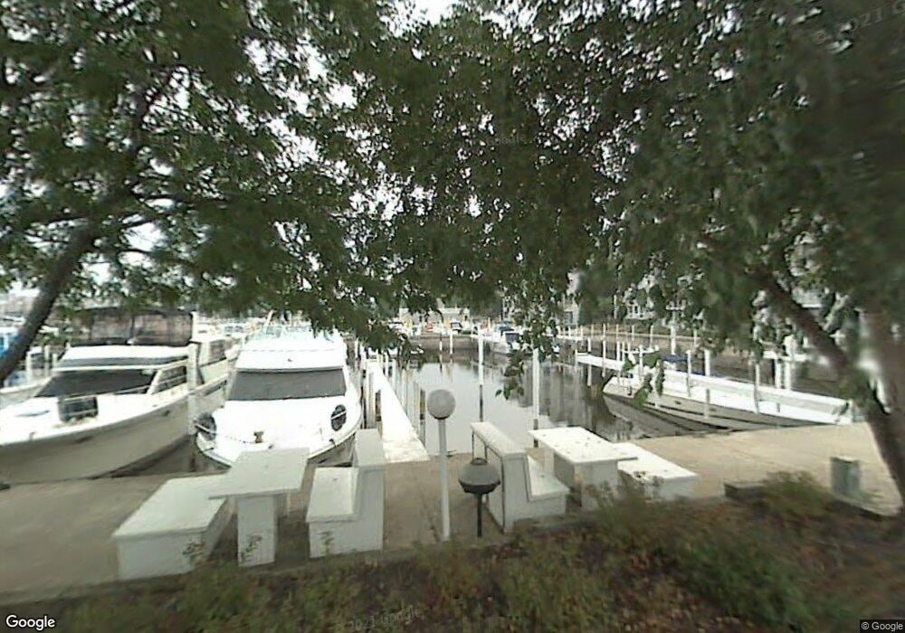
25 Harbor Isle Dr New Buffalo, MI 49117
Estimated Value: $344,000 - $430,000
--
Bed
--
Bath
--
Sq Ft
--
Built
About This Home
This home is located at 25 Harbor Isle Dr, New Buffalo, MI 49117 and is currently estimated at $387,000. 25 Harbor Isle Dr is a home located in Berrien County with nearby schools including New Buffalo Elementary School, New Buffalo Middle School, and New Buffalo Senior High School.
Ownership History
Date
Name
Owned For
Owner Type
Purchase Details
Closed on
Sep 10, 2013
Sold by
501 North Whitaker Llc
Bought by
Ferry Michael A and Ferry Rhonda L
Current Estimated Value
Purchase Details
Closed on
Sep 9, 2013
Sold by
Beverly Bank & Trust Company N A
Bought by
501 North Whitaker Llc
Purchase Details
Closed on
Sep 8, 2011
Sold by
Makinney Shirley and Makinney Blair
Bought by
Beverly Bank & Trust Company Na
Purchase Details
Closed on
Dec 4, 2000
Purchase Details
Closed on
Jan 15, 1998
Purchase Details
Closed on
Aug 28, 1996
Purchase Details
Closed on
Jun 7, 1988
Create a Home Valuation Report for This Property
The Home Valuation Report is an in-depth analysis detailing your home's value as well as a comparison with similar homes in the area
Home Values in the Area
Average Home Value in this Area
Purchase History
| Date | Buyer | Sale Price | Title Company |
|---|---|---|---|
| Ferry Michael A | $305,000 | Multiple | |
| 501 North Whitaker Llc | -- | Multiple | |
| Beverly Bank & Trust Company Na | -- | None Available | |
| -- | -- | -- | |
| -- | -- | -- | |
| -- | -- | -- | |
| -- | $180,000 | -- |
Source: Public Records
Tax History Compared to Growth
Tax History
| Year | Tax Paid | Tax Assessment Tax Assessment Total Assessment is a certain percentage of the fair market value that is determined by local assessors to be the total taxable value of land and additions on the property. | Land | Improvement |
|---|---|---|---|---|
| 2025 | $394 | $8,600 | $0 | $0 |
| 2024 | $260 | $8,600 | $0 | $0 |
| 2023 | $262 | $85,800 | $0 | $0 |
| 2022 | $493 | $20,200 | $0 | $0 |
| 2021 | $725 | $20,200 | $0 | $20,200 |
| 2020 | $716 | $20,200 | $0 | $0 |
| 2019 | $707 | $20,200 | $0 | $20,200 |
| 2018 | $690 | $20,200 | $0 | $0 |
| 2017 | $698 | $20,200 | $0 | $0 |
| 2016 | $685 | $20,200 | $0 | $0 |
| 2015 | $683 | $14,300 | $0 | $0 |
| 2014 | $328 | $14,300 | $0 | $0 |
Source: Public Records
Map
Nearby Homes
- 116 N Smith St
- Lot 9 & 10 N Whittaker St
- 409 Lake Dr Unit 10
- 340 N Berrien St
- Lots 7 & 8 N Whittaker
- 90 Harbor Landing
- 22 S Smith St
- 19175 U S 12
- Lots 3 & 4 N Thompson St
- 221 N Townsend St
- 133 N Eagle St
- Lots 5 & 6 N Thompson
- 210 E Water St
- 121 S Barker St
- 408 Beach Ct
- 118 S Harrison St
- 10 Pond Path
- 300 E Buffalo St
- 425 S Barker St
- 121 E Michigan St
- 27 Harbor Isle Dr
- 27 Harbor Isle Dr
- 29 Harbor Isle Dr
- 29 Harbor Isle Dr
- 25 Harbor Isle Dr
- 23 Harbor Isle Dr
- 23 Harbor Isle Dr
- 21 Harbor Isle Dr
- 21 Harbor Isle Dr
- 19 Harbor Isle Dr
- 19 Harbor Isle Dr
- 19 Harbor Isle Dr
- 17 Harbor Isle Dr
- 17 Harbor Isle Dr
- 17 Harbor Isle Dr
- 15 Harbor Isle Dr
- 15 Harbor Isle Dr
- 15 Harbor Isle Dr
- 13 Harbor Isle Dr
- 13 Harbor Isle Dr