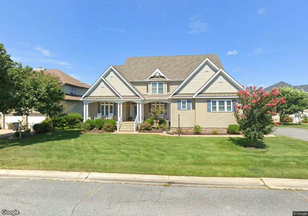
25 Harlan Trace Ocean Pines, MD 21811
Estimated Value: $1,014,000 - $1,375,000
Studio
1
Bath
3,259
Sq Ft
$360/Sq Ft
Est. Value
About This Home
This home is located at 25 Harlan Trace, Ocean Pines, MD 21811 and is currently estimated at $1,173,705, approximately $360 per square foot. 25 Harlan Trace is a home located in Worcester County with nearby schools including Showell Elementary School, Stephen Decatur Middle School, and Berlin Intermediate School.
Ownership History
Date
Name
Owned For
Owner Type
Purchase Details
Closed on
Sep 12, 2019
Sold by
Adcock Torrance Lee and Esau Barbara A
Bought by
Adcock Torrance Lee and Esau Barbara Ann
Current Estimated Value
Purchase Details
Closed on
Apr 12, 2016
Sold by
Adcock Torrrance Lee
Bought by
Adcock Torrance Lee and Esau Barbara A
Purchase Details
Closed on
Aug 10, 1998
Sold by
Adcock Torrance Lee
Bought by
Adcock Torrance Lee
Purchase Details
Closed on
Jun 5, 1989
Sold by
Solgar Co Inc
Bought by
Adcock Torrance Lee
Home Financials for this Owner
Home Financials are based on the most recent Mortgage that was taken out on this home.
Original Mortgage
$91,200
Interest Rate
10.48%
Create a Home Valuation Report for This Property
The Home Valuation Report is an in-depth analysis detailing your home's value as well as a comparison with similar homes in the area
Home Values in the Area
Average Home Value in this Area
Purchase History
| Date | Buyer | Sale Price | Title Company |
|---|---|---|---|
| Adcock Torrance Lee | -- | None Available | |
| Adcock Torrance Lee | -- | Attorney | |
| Adcock Torrance Lee | $123,900 | -- | |
| Adcock Torrance Lee | $108,900 | -- |
Source: Public Records
Mortgage History
| Date | Status | Borrower | Loan Amount |
|---|---|---|---|
| Previous Owner | Adcock Torrance Lee | $91,200 |
Source: Public Records
Tax History
| Year | Tax Paid | Tax Assessment Tax Assessment Total Assessment is a certain percentage of the fair market value that is determined by local assessors to be the total taxable value of land and additions on the property. | Land | Improvement |
|---|---|---|---|---|
| 2025 | $6,402 | $693,633 | $0 | $0 |
| 2024 | $5,774 | $606,000 | $242,500 | $363,500 |
| 2023 | $5,772 | $603,100 | $0 | $0 |
| 2022 | $5,719 | $600,200 | $0 | $0 |
| 2021 | $5,716 | $597,300 | $242,500 | $354,800 |
| 2020 | $5,716 | $597,300 | $242,500 | $354,800 |
| 2019 | $5,716 | $597,300 | $242,500 | $354,800 |
| 2018 | $5,788 | $613,900 | $242,500 | $371,400 |
| 2017 | $1,817 | $595,567 | $0 | $0 |
| 2016 | -- | $191,833 | $0 | $0 |
| 2015 | $2,157 | $173,500 | $0 | $0 |
| 2014 | $2,157 | $173,500 | $0 | $0 |
Source: Public Records
Map
Nearby Homes
- 22 Leigh Dr
- 4 Leslie Mews
- 7 Leslie Mews
- 18 Mallard Dr E
- 3 Ebbtide Ct
- 6 Ebb Tide
- 4 Ebb Tide
- 26 Mallard Dr W
- 2 Crab Cay Ct
- 6 Heron Isle Ct
- 2102 Points Reach
- 2108 Points Reach
- 696 Ocean Pkwy
- 529 Yacht Club Dr Unit 4
- 1404 N Chase St N
- 403 Bluewater Ct
- 1210 Carrollton Ln
- 502 Tidewater Cove
- 101 Mumfords Landing Rd
- 71 Hingham Ln
- 27 Harlan Cove
- 23 Harlan Trace
- 29 Harlan Cove
- 21 Harlan Trace
- 28 Harlan Trace
- 26 Harlan Trace
- 24 Harlan Trace
- 31 Harlan Cove
- 30 Harlan Trace
- 19 Harlan Trace
- 22 Harlan Trace
- 32 Harlan Trace
- 37 Harlan Cove
- 24 Leslie Mews
- 33 Harlan Cove
- 22 Leslie Mews
- 35 Harlan Cove
- 39 Harlan Trace
- 20 Harlan Trace
- 20 Leslie Mews
Your Personal Tour Guide
Ask me questions while you tour the home.