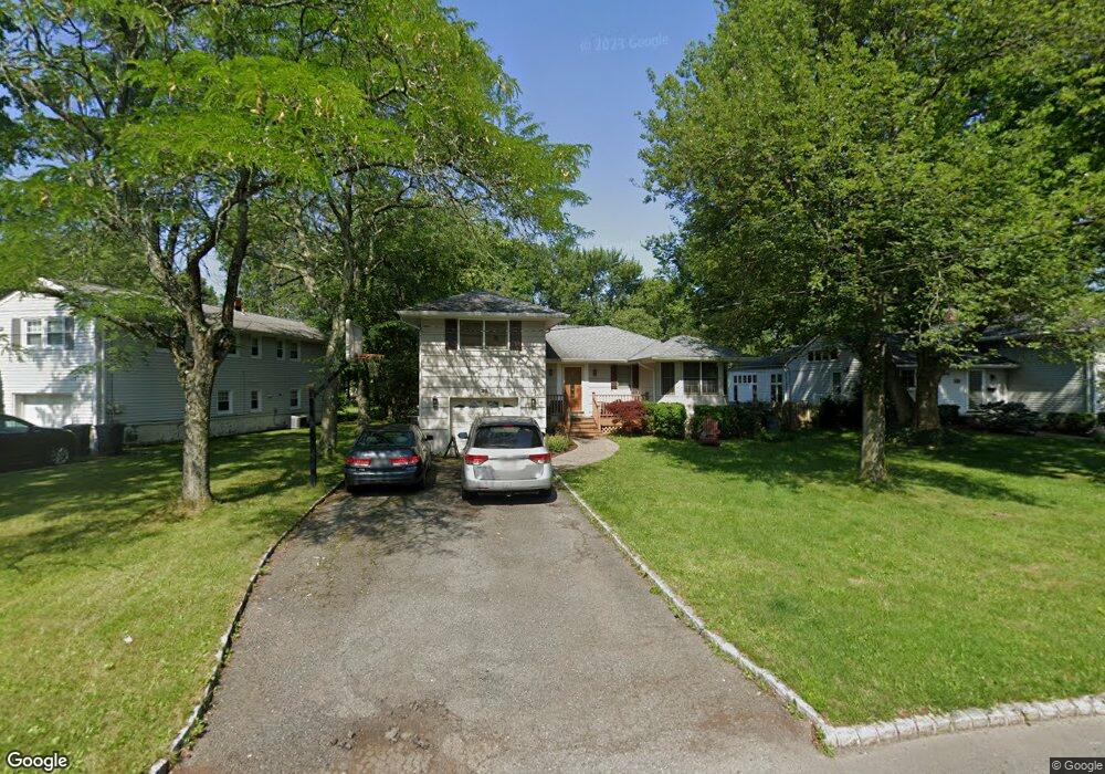
25 Hawthorne Dr New Providence, NJ 07974
Estimated Value: $754,023 - $927,000
--
Bed
--
Bath
1,842
Sq Ft
$453/Sq Ft
Est. Value
About This Home
This home is located at 25 Hawthorne Dr, New Providence, NJ 07974 and is currently estimated at $834,506, approximately $453 per square foot. 25 Hawthorne Dr is a home located in Union County with nearby schools including New Providence High School and The Academy of Our Lady of Peace.
Ownership History
Date
Name
Owned For
Owner Type
Purchase Details
Closed on
Feb 23, 2009
Sold by
Tarendash David and Tarendash Janet
Bought by
Bradford Anthony G and Nerses Nora
Current Estimated Value
Home Financials for this Owner
Home Financials are based on the most recent Mortgage that was taken out on this home.
Original Mortgage
$237,500
Outstanding Balance
$149,324
Interest Rate
5%
Mortgage Type
Purchase Money Mortgage
Estimated Equity
$685,182
Purchase Details
Closed on
May 11, 2004
Sold by
Paxson Bradley
Bought by
Tarendash David and Tarendash Janet
Home Financials for this Owner
Home Financials are based on the most recent Mortgage that was taken out on this home.
Original Mortgage
$392,800
Interest Rate
5.75%
Purchase Details
Closed on
Oct 30, 1997
Sold by
Cheng Tat Yan
Bought by
Paxson Bradley C and Paxson Carol J
Home Financials for this Owner
Home Financials are based on the most recent Mortgage that was taken out on this home.
Original Mortgage
$191,200
Interest Rate
7%
Create a Home Valuation Report for This Property
The Home Valuation Report is an in-depth analysis detailing your home's value as well as a comparison with similar homes in the area
Home Values in the Area
Average Home Value in this Area
Purchase History
| Date | Buyer | Sale Price | Title Company |
|---|---|---|---|
| Bradford Anthony G | $522,500 | None Available | |
| Tarendash David | $491,000 | -- | |
| Paxson Bradley C | $239,000 | -- |
Source: Public Records
Mortgage History
| Date | Status | Borrower | Loan Amount |
|---|---|---|---|
| Open | Bradford Anthony G | $237,500 | |
| Previous Owner | Tarendash David | $392,800 | |
| Previous Owner | Paxson Bradley C | $191,200 |
Source: Public Records
Tax History Compared to Growth
Tax History
| Year | Tax Paid | Tax Assessment Tax Assessment Total Assessment is a certain percentage of the fair market value that is determined by local assessors to be the total taxable value of land and additions on the property. | Land | Improvement |
|---|---|---|---|---|
| 2025 | $12,136 | $235,100 | $103,600 | $131,500 |
| 2024 | $11,771 | $235,100 | $103,600 | $131,500 |
| 2023 | $11,771 | $235,100 | $103,600 | $131,500 |
| 2022 | $11,609 | $235,100 | $103,600 | $131,500 |
| 2021 | $11,525 | $235,100 | $103,600 | $131,500 |
| 2020 | $11,520 | $235,100 | $103,600 | $131,500 |
| 2019 | $11,449 | $235,100 | $103,600 | $131,500 |
| 2018 | $11,391 | $235,100 | $103,600 | $131,500 |
| 2017 | $11,205 | $235,100 | $103,600 | $131,500 |
| 2016 | $11,047 | $235,100 | $103,600 | $131,500 |
| 2015 | $10,895 | $235,100 | $103,600 | $131,500 |
| 2014 | $10,730 | $235,100 | $103,600 | $131,500 |
Source: Public Records
Map
Nearby Homes
- 16 Terrace Rd
- 132 Fairview Ave
- 11 Earl Place
- 19 Slope Dr
- 36 Terrace Rd
- 20 High St
- 19 Guenevere Way Ondo
- 41 Meadowview Ln
- 14 Holmes Oval
- 282 South St
- 16 Riverbend Ct
- 32 Marion Ave
- 567 River Rd
- 33 Bristol Ct
- 30 Robbins Ave
- 340 Livingston Ave
- 32 Charnwood Rd
- 52 Greenwood Rd
- 34 Grant Ave
- 1200 Springfield Ave Unit 1B
- 19 Hawthorne Dr
- 35 Hawthorne Dr
- 43 Hawthorne Dr
- 15 Hawthorne Dr
- 24 Shelly Dr
- 18 Shelly Dr
- 47 Hawthorne Dr
- 26 Hawthorne Dr
- 20 Hawthorne Dr
- 30 Hawthorne Dr
- 30 Shelley Dr
- 810 Central Ave
- 14 Shelley Dr
- 14 Hawthorne Dr
- 30 Shelly Dr
- 14 Shelly Dr
- 804 Central Ave
- 36 Hawthorne Dr
- 814 Central Ave
- 40 Hawthorne Dr