25 High Meadow Dr Unit A Spencer, TN 38585
Estimated Value: $527,000 - $716,000
--
Bed
2
Baths
1,146
Sq Ft
$531/Sq Ft
Est. Value
About This Home
This home is located at 25 High Meadow Dr Unit A, Spencer, TN 38585 and is currently estimated at $608,064, approximately $530 per square foot. 25 High Meadow Dr Unit A is a home located in Van Buren County with nearby schools including Spencer Elementary School and Van Buren County High School.
Ownership History
Date
Name
Owned For
Owner Type
Purchase Details
Closed on
Jun 4, 2021
Sold by
Adkins Mountain Properties
Bought by
Creekside Mountain Llc and Sonshiners Mountain
Current Estimated Value
Home Financials for this Owner
Home Financials are based on the most recent Mortgage that was taken out on this home.
Original Mortgage
$360,000
Outstanding Balance
$273,334
Interest Rate
2.9%
Mortgage Type
Future Advance Clause Open End Mortgage
Estimated Equity
$334,730
Purchase Details
Closed on
Feb 14, 2012
Bought by
Homeland Community Bank
Purchase Details
Closed on
Nov 22, 2004
Bought by
Mountain Village Investment Group Llc
Create a Home Valuation Report for This Property
The Home Valuation Report is an in-depth analysis detailing your home's value as well as a comparison with similar homes in the area
Home Values in the Area
Average Home Value in this Area
Purchase History
| Date | Buyer | Sale Price | Title Company |
|---|---|---|---|
| Creekside Mountain Llc | $400,000 | Advantage T&E Inc | |
| Homeland Community Bank | -- | -- | |
| Homeland Community Bank | $550,000 | -- | |
| Mountain Village Investment Group Llc | $250,000 | -- |
Source: Public Records
Mortgage History
| Date | Status | Borrower | Loan Amount |
|---|---|---|---|
| Open | Creekside Mountain Llc | $360,000 |
Source: Public Records
Tax History Compared to Growth
Tax History
| Year | Tax Paid | Tax Assessment Tax Assessment Total Assessment is a certain percentage of the fair market value that is determined by local assessors to be the total taxable value of land and additions on the property. | Land | Improvement |
|---|---|---|---|---|
| 2024 | $2,525 | $105,200 | $20,700 | $84,500 |
| 2023 | $2,525 | $105,200 | $20,700 | $84,500 |
| 2022 | $1,454 | $60,575 | $15,000 | $45,575 |
| 2021 | $1,454 | $60,575 | $15,000 | $45,575 |
| 2020 | $1,424 | $60,575 | $15,000 | $45,575 |
| 2019 | $1,907 | $82,560 | $24,000 | $58,560 |
| 2018 | $1,593 | $82,560 | $24,000 | $58,560 |
| 2017 | $1,593 | $82,560 | $24,000 | $58,560 |
| 2016 | $1,593 | $82,560 | $24,000 | $58,560 |
| 2015 | $1,593 | $82,560 | $24,000 | $58,560 |
| 2014 | $1,447 | $82,560 | $24,000 | $58,560 |
| 2013 | $1,447 | $79,046 | $0 | $0 |
Source: Public Records
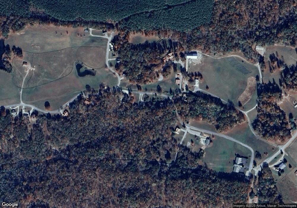
Map
Nearby Homes
- 0 High Meadow Dr Unit 1296264
- 0 High Meadow Dr Unit RTC2814513
- 10 Meadow Brook Ln
- Lot 31 High Meadow Dr
- 00 High Meadow Dr
- 2195 Myers Rd
- 0 Wilderness Ln
- 454 Slater Loop
- 121 Twin Oaks Rd
- 36 Short Rd
- 0 Lick Hollow Branch Unit RTC2992108
- 0 Camp Creek Cir Unit RTC2969757
- 0 Hickory Nut Trail Unit 235717
- 0 Hickory Nut Trail Unit RTC2815524
- 0 Valley Ln Unit RTC2576043
- 0 Valley Ln Unit RTC2550514
- Lot 72 Camp Creek Rd
- 202122 Camp Creek Rd
- 20,21,22 Camp Creek Rd
- 0 Joe Groves Rd
- 25 High Meadow Dr
- 25 High Meadow Dr
- 2.13 acr High Meadow Dr
- 33 High Meadow Dr
- 23 High Meadow Dr
- 1118 Gulf Rd
- 1.32 Meadow Dr
- 1204 Gulf Rd
- 0 High Meadow Dr
- 0 High Meadow Dr Unit 216775
- Lot 32 High Meadow Dr
- Lot 36 High Meadow Dr
- Lot 39 High Meadows Rd
- 207 High Meadow Dr
- 1329 Gulf Rd
- 1249 Gulf Rd
- 123 Markum Ln
- 241 High Meadow Dr
- 241 High Meadow Dr
- 985 Gulf Rd