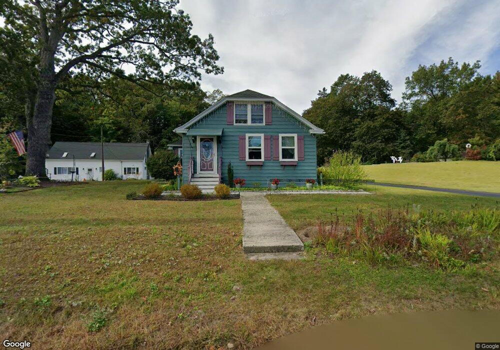
25 Holt St West Boylston, MA 01583
Estimated Value: $487,000 - $535,000
3
Beds
2
Baths
1,660
Sq Ft
$309/Sq Ft
Est. Value
About This Home
This home is located at 25 Holt St, West Boylston, MA 01583 and is currently estimated at $513,314, approximately $309 per square foot. 25 Holt St is a home located in Worcester County with nearby schools including Major Edwards Elementary School and West Boylston Junior/Senior High School.
Ownership History
Date
Name
Owned For
Owner Type
Purchase Details
Closed on
Dec 31, 2003
Sold by
Gustafson Charles W Es
Bought by
Corey Denise A and Corey Stephen G
Current Estimated Value
Home Financials for this Owner
Home Financials are based on the most recent Mortgage that was taken out on this home.
Original Mortgage
$225,625
Outstanding Balance
$105,223
Interest Rate
5.86%
Mortgage Type
Purchase Money Mortgage
Estimated Equity
$408,091
Create a Home Valuation Report for This Property
The Home Valuation Report is an in-depth analysis detailing your home's value as well as a comparison with similar homes in the area
Home Values in the Area
Average Home Value in this Area
Purchase History
| Date | Buyer | Sale Price | Title Company |
|---|---|---|---|
| Corey Denise A | $237,500 | -- |
Source: Public Records
Mortgage History
| Date | Status | Borrower | Loan Amount |
|---|---|---|---|
| Open | Corey Denise A | $225,625 |
Source: Public Records
Tax History Compared to Growth
Tax History
| Year | Tax Paid | Tax Assessment Tax Assessment Total Assessment is a certain percentage of the fair market value that is determined by local assessors to be the total taxable value of land and additions on the property. | Land | Improvement |
|---|---|---|---|---|
| 2025 | $63 | $452,500 | $134,200 | $318,300 |
| 2024 | $6,041 | $408,700 | $136,400 | $272,300 |
| 2023 | $6,366 | $408,600 | $134,200 | $274,400 |
| 2022 | $5,889 | $333,100 | $134,200 | $198,900 |
| 2021 | $7,108 | $303,900 | $111,500 | $192,400 |
| 2020 | $3,538 | $281,800 | $111,500 | $170,300 |
| 2019 | $4,912 | $260,600 | $111,500 | $149,100 |
| 2018 | $4,506 | $240,700 | $111,500 | $129,200 |
| 2017 | $4,476 | $238,100 | $111,500 | $126,600 |
| 2016 | $4,280 | $232,000 | $104,100 | $127,900 |
| 2015 | $4,121 | $224,700 | $103,300 | $121,400 |
Source: Public Records
Map
Nearby Homes
- 20 Winthrop St
- 12 Winthrop St
- 101 Sterling St
- 136 Sterling St Unit A3
- 26 Townsend Dr
- 113 Newton St
- 64 Worcester St
- 16 N Main St
- 156 Prospect St
- 39 Bowen St
- 152 Worcester St Unit 8
- 112 N Main St
- 62 Maple St
- 21 Myrtle Ave
- 287 Laurel St
- 2 Lakeview Ave
- 9 Kings Mountain Dr
- 39 Davidson Rd
- 16 Jasmine Dr Unit 16
- 0 Boutelle Rd