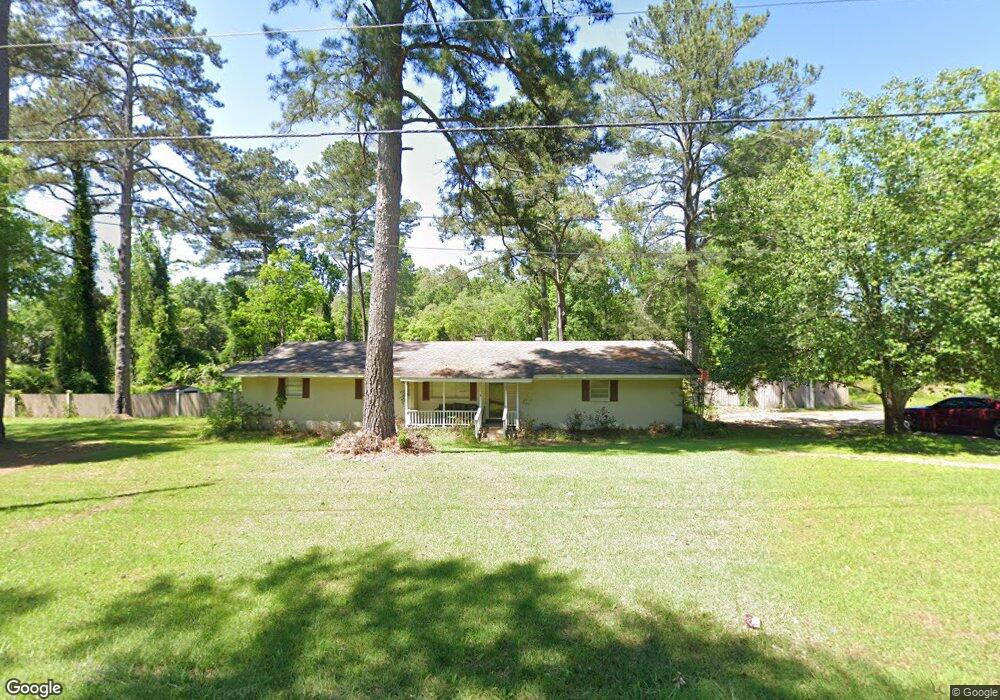
25 Houston Rd Laurel, MS 39443
Estimated Value: $171,246 - $227,000
3
Beds
2
Baths
1,828
Sq Ft
$106/Sq Ft
Est. Value
About This Home
This home is located at 25 Houston Rd, Laurel, MS 39443 and is currently estimated at $193,062, approximately $105 per square foot. 25 Houston Rd is a home located in Jones County with nearby schools including Laurel Christian School and Laurel Christian High School.
Ownership History
Date
Name
Owned For
Owner Type
Purchase Details
Closed on
Jul 14, 2011
Sold by
Whitestone Contracting Llc
Bought by
Blackledge James
Current Estimated Value
Home Financials for this Owner
Home Financials are based on the most recent Mortgage that was taken out on this home.
Original Mortgage
$92,227,000
Outstanding Balance
$63,400,018
Interest Rate
4.57%
Mortgage Type
Purchase Money Mortgage
Estimated Equity
-$63,206,956
Purchase Details
Closed on
May 16, 2006
Sold by
Bullock Brent A and Bullock Patricia
Bought by
Manning Carl D and Manning Karen D
Home Financials for this Owner
Home Financials are based on the most recent Mortgage that was taken out on this home.
Original Mortgage
$124,000
Interest Rate
6.44%
Mortgage Type
Purchase Money Mortgage
Create a Home Valuation Report for This Property
The Home Valuation Report is an in-depth analysis detailing your home's value as well as a comparison with similar homes in the area
Purchase History
| Date | Buyer | Sale Price | Title Company |
|---|---|---|---|
| Blackledge James | -- | -- | |
| Manning Carl D | -- | -- |
Source: Public Records
Mortgage History
| Date | Status | Borrower | Loan Amount |
|---|---|---|---|
| Open | Blackledge James | $92,227,000 | |
| Previous Owner | Manning Carl D | $124,000 |
Source: Public Records
Tax History
| Year | Tax Paid | Tax Assessment Tax Assessment Total Assessment is a certain percentage of the fair market value that is determined by local assessors to be the total taxable value of land and additions on the property. | Land | Improvement |
|---|---|---|---|---|
| 2025 | $1,642 | $13,632 | $0 | $0 |
| 2024 | $1,606 | $12,687 | $0 | $0 |
| 2023 | $1,606 | $12,687 | $0 | $0 |
| 2022 | $1,642 | $12,687 | $0 | $0 |
| 2021 | $1,648 | $12,687 | $0 | $0 |
| 2020 | $1,636 | $12,374 | $0 | $0 |
| 2019 | $1,630 | $12,284 | $0 | $0 |
| 2018 | $1,630 | $12,284 | $0 | $0 |
| 2017 | $1,629 | $12,284 | $0 | $0 |
| 2016 | $1,537 | $11,859 | $0 | $0 |
| 2015 | $1,468 | $11,859 | $0 | $0 |
| 2014 | $1,468 | $11,859 | $0 | $0 |
Source: Public Records
Map
Nearby Homes
- 1843 Sherwood Dr
- 4514 Forest Dr
- 60 Forest Dr
- 00 Forest Dr
- 62 Wilcher Dr
- Forest Glen Dr
- 1105 Glenway Dr
- 56 Mar Ree Dr
- 37 Mar - Ree Dr
- 3844 Millsaps Dr
- 3836 Millsaps Dr
- 8 Mar - Ree Dr
- TBA University Ave
- 67 College Dr
- 923 Jeffery Dr
- 916 Tower Dr
- 3101 Old Amy Rd
- 6 Stonesthrow Dr
- Lot 10 Briar Creek Cir
- 1 Loblolly Ln
- 24 Houston Rd
- 30 Houston Rd
- 36 Houston Rd
- 40 Houston Rd
- 4425 Highway 15 N
- 4415 Highway 15 N
- 23 Dunbar St
- 46 Houston Rd
- 4405 Highway 15 N
- 4428 Mississippi 15
- 4428 Highway 15 N
- 0 Howard Smith Rd
- 29 Howard Smith Rd
- 244 Reeves Rd
- 55 Houston Rd
- 4322 Highway 15 N
- 18 Shady Grove Moss Rd
- 3 Shady Lane Rd
- 12 Shady Lane Rd
- 12 Shady Lane Rd
Your Personal Tour Guide
Ask me questions while you tour the home.