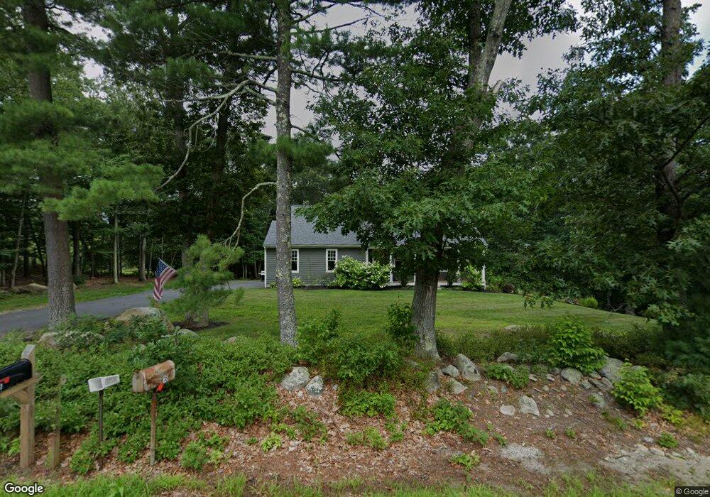
25 Johnson Rd Uxbridge, MA 01569
Estimated Value: $615,000 - $803,000
3
Beds
2
Baths
1,472
Sq Ft
$461/Sq Ft
Est. Value
About This Home
This home is located at 25 Johnson Rd, Uxbridge, MA 01569 and is currently estimated at $678,973, approximately $461 per square foot. 25 Johnson Rd is a home with nearby schools including Uxbridge High School.
Ownership History
Date
Name
Owned For
Owner Type
Purchase Details
Closed on
Jan 16, 2020
Sold by
Gervais Luc E and Gervais Sally A
Bought by
Baretto Garrett and Buratto Emily L
Current Estimated Value
Home Financials for this Owner
Home Financials are based on the most recent Mortgage that was taken out on this home.
Original Mortgage
$240,000
Outstanding Balance
$212,050
Interest Rate
3.6%
Mortgage Type
New Conventional
Estimated Equity
$466,923
Create a Home Valuation Report for This Property
The Home Valuation Report is an in-depth analysis detailing your home's value as well as a comparison with similar homes in the area
Home Values in the Area
Average Home Value in this Area
Purchase History
| Date | Buyer | Sale Price | Title Company |
|---|---|---|---|
| Baretto Garrett | $410,000 | None Available |
Source: Public Records
Mortgage History
| Date | Status | Borrower | Loan Amount |
|---|---|---|---|
| Open | Baretto Garrett | $240,000 |
Source: Public Records
Tax History
| Year | Tax Paid | Tax Assessment Tax Assessment Total Assessment is a certain percentage of the fair market value that is determined by local assessors to be the total taxable value of land and additions on the property. | Land | Improvement |
|---|---|---|---|---|
| 2025 | $79 | $600,600 | $169,900 | $430,700 |
| 2024 | $7,200 | $557,300 | $161,200 | $396,100 |
| 2023 | $6,583 | $471,900 | $139,400 | $332,500 |
| 2022 | $6,387 | $421,300 | $122,000 | $299,300 |
| 2021 | $6,624 | $418,700 | $119,400 | $299,300 |
| 2020 | $7,242 | $432,600 | $117,600 | $315,000 |
| 2019 | $2,040 | $117,600 | $117,600 | $0 |
| 2018 | $2,019 | $117,600 | $117,600 | $0 |
| 2017 | $1,828 | $107,800 | $107,800 | $0 |
| 2016 | $1,803 | $102,600 | $102,600 | $0 |
| 2015 | $1,785 | $102,600 | $102,600 | $0 |
Source: Public Records
Map
Nearby Homes
- 145 Turner Farm Rd
- 139 Turner Farm Rd
- 136 Turner Farm Rd
- 126 Turner Farm Rd
- 127 Turner Farm Rd
- 114 Turner Farm Rd
- 29 Glendale St
- 47 Turner Farm Rd
- 15 Turner Farm Rd
- 18 Turner Farm Rd
- 46 Turner Farm Rd
- 45 Turner Farm Rd
- 22 Mystic Valley Ln
- 25 Stanphyl Rd
- 415 Pond St
- 70 Chocolog Rd
- 13 Perry St
- 342 Chestnut St
- 1001 W Ironstone Rd
- 30 Chocolog Rd
- 18 Johnson Rd
- 11 Johnson Rd
- 43 Johnson Rd
- 46 Johnson Rd
- 35 Sand Wedge Dr
- 480 Chocolog Rd
- 30 Sandwedge Dr
- 30 Sand Wedge Dr Unit 5
- 30 Sand Wedge Dr
- 56 Johnson Rd
- 25 Sand Wedge Dr
- 71 Johnson Rd
- 67 Johnson Rd
- 41 Johnson Rd
- 70 Johnson Rd
- 75 Johnson Rd
- LOT 1 Sand Wedge Dr
- 10 Sand Wedge Dr
- 1 Sand Wedge Dr
- 37 Sand Wedge Dr
Your Personal Tour Guide
Ask me questions while you tour the home.