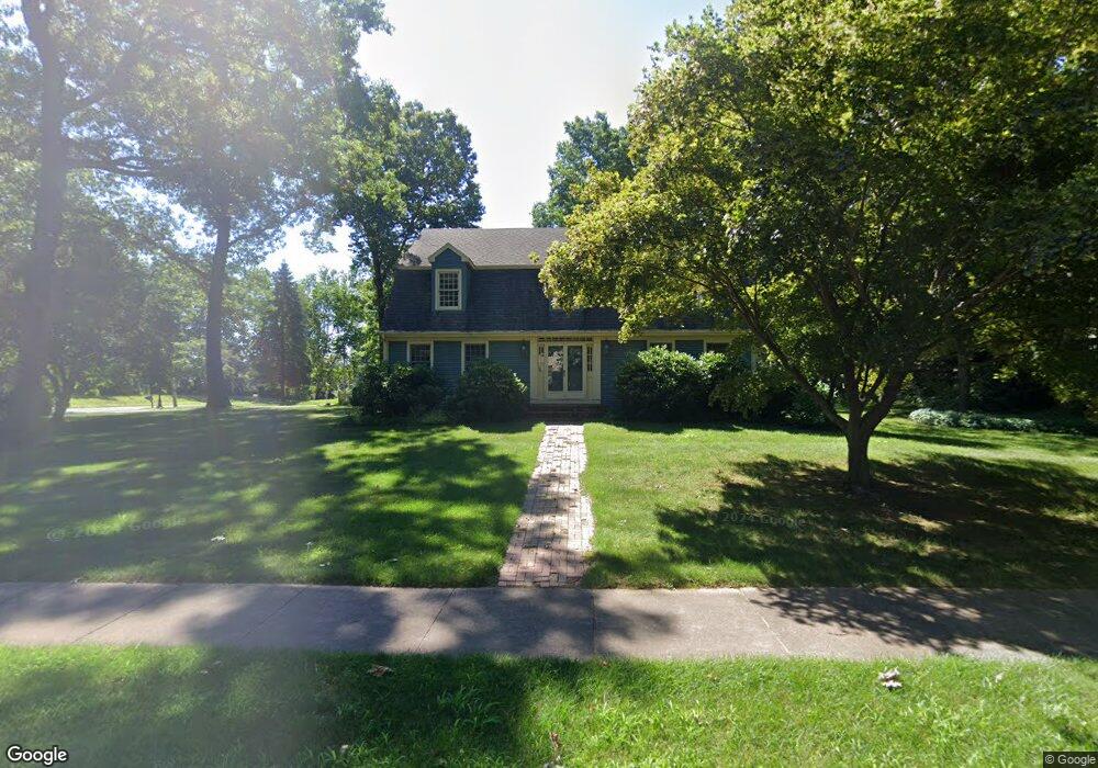
25 Lang Rd Windsor, CT 06095
West Windsor NeighborhoodEstimated Value: $589,859 - $673,000
4
Beds
3
Baths
3,320
Sq Ft
$191/Sq Ft
Est. Value
About This Home
This home is located at 25 Lang Rd, Windsor, CT 06095 and is currently estimated at $635,215, approximately $191 per square foot. 25 Lang Rd is a home located in Hartford County with nearby schools including Poquonock Elementary School, Clover Street School, and Sage Park Middle School.
Ownership History
Date
Name
Owned For
Owner Type
Purchase Details
Closed on
Jun 27, 2003
Sold by
Smith Cleve and Smith Nancy
Bought by
Eggimann Jamen
Current Estimated Value
Purchase Details
Closed on
Aug 5, 1991
Sold by
Bosco Richard and Bosco Sharon
Bought by
Smith Cleve and Smith Nancy
Create a Home Valuation Report for This Property
The Home Valuation Report is an in-depth analysis detailing your home's value as well as a comparison with similar homes in the area
Home Values in the Area
Average Home Value in this Area
Purchase History
| Date | Buyer | Sale Price | Title Company |
|---|---|---|---|
| Eggimann Jamen | $359,900 | -- | |
| Smith Cleve | $275,000 | -- |
Source: Public Records
Mortgage History
| Date | Status | Borrower | Loan Amount |
|---|---|---|---|
| Open | Smith Cleve | $227,000 | |
| Closed | Smith Cleve | $233,375 |
Source: Public Records
Tax History
| Year | Tax Paid | Tax Assessment Tax Assessment Total Assessment is a certain percentage of the fair market value that is determined by local assessors to be the total taxable value of land and additions on the property. | Land | Improvement |
|---|---|---|---|---|
| 2025 | $9,657 | $339,430 | $71,330 | $268,100 |
| 2024 | $10,292 | $339,430 | $71,330 | $268,100 |
| 2023 | $7,992 | $237,860 | $55,440 | $182,420 |
| 2022 | $7,914 | $237,860 | $55,440 | $182,420 |
| 2021 | $7,914 | $237,860 | $55,440 | $182,420 |
| 2020 | $7,876 | $237,860 | $55,440 | $182,420 |
| 2019 | $7,702 | $237,860 | $55,440 | $182,420 |
| 2018 | $7,448 | $225,960 | $55,440 | $170,520 |
| 2017 | $7,332 | $225,960 | $55,440 | $170,520 |
| 2016 | $7,122 | $225,960 | $55,440 | $170,520 |
| 2015 | $6,987 | $225,960 | $55,440 | $170,520 |
| 2014 | $6,885 | $225,960 | $55,440 | $170,520 |
Source: Public Records
Map
Nearby Homes
- 10 Cleary Ln
- 24 Mary Catherine Cir
- 1 Deanne Lynn Cir
- 16 Hilltop Rd
- 109 Old Village Cir
- 823 Stone Rd
- 22 Eastview Dr
- 39 Loren Cir
- 1946 Poquonock Ave
- 999 Stone Rd
- 22 Apple Tree Ln
- 58 Hollow Brook Rd
- 25 High St
- 490 Old Day Hill Rd
- 16 Cornfield Rd
- 485 River St
- 0 Walnut and Larch Dr
- 118 High Path Rd Unit 118
- 136 High Path Rd
- 98 High Path Rd
- 15 Lang Rd
- 101 Fieldstone Dr
- 96 Fieldstone Dr
- 24 Lang Rd
- 7 Lang Rd
- 100 Fieldstone Dr
- 300 Hitching Post Ln
- 26 Lang Rd
- 105 Fieldstone Dr
- 304 Hitching Post Ln
- 43 Lang Rd
- 28 Lang Rd
- 67 Broadleaf Cir
- 318 Hitching Post Ln
- 61 Broadleaf Cir
- 310 Hitching Post Ln
- 114 Fieldstone Dr
- 30 Lang Rd
- 66 Broadleaf Cir
- 322 Hitching Post Ln
Your Personal Tour Guide
Ask me questions while you tour the home.