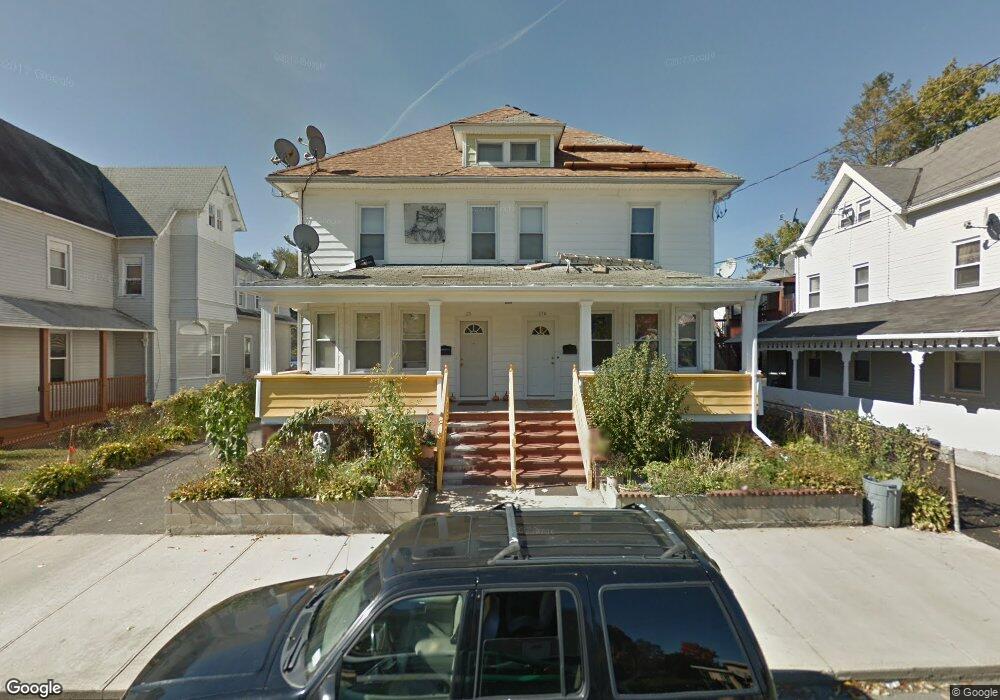
25 Lester St Ansonia, CT 06401
Estimated Value: $393,395 - $555,000
8
Beds
4
Baths
3,232
Sq Ft
$148/Sq Ft
Est. Value
About This Home
This home is located at 25 Lester St, Ansonia, CT 06401 and is currently estimated at $478,849, approximately $148 per square foot. 25 Lester St is a home located in New Haven County with nearby schools including Mead School, Prendergast School, and Ansonia Middle School.
Ownership History
Date
Name
Owned For
Owner Type
Purchase Details
Closed on
Jul 16, 2010
Sold by
Fasano Alma J
Bought by
North American Homes L
Current Estimated Value
Purchase Details
Closed on
Jun 28, 2005
Sold by
Lembo Victor and Lembo Joseph
Bought by
Ribeiro Fernando and Ribeiro Paulina
Home Financials for this Owner
Home Financials are based on the most recent Mortgage that was taken out on this home.
Original Mortgage
$176,000
Interest Rate
5.62%
Mortgage Type
Purchase Money Mortgage
Create a Home Valuation Report for This Property
The Home Valuation Report is an in-depth analysis detailing your home's value as well as a comparison with similar homes in the area
Home Values in the Area
Average Home Value in this Area
Purchase History
| Date | Buyer | Sale Price | Title Company |
|---|---|---|---|
| North American Homes L | $70,000 | -- | |
| Ribeiro Fernando | $220,000 | -- |
Source: Public Records
Mortgage History
| Date | Status | Borrower | Loan Amount |
|---|---|---|---|
| Closed | Ribeiro Fernando | $17,187 | |
| Previous Owner | Ribeiro Fernando | $176,000 |
Source: Public Records
Tax History Compared to Growth
Tax History
| Year | Tax Paid | Tax Assessment Tax Assessment Total Assessment is a certain percentage of the fair market value that is determined by local assessors to be the total taxable value of land and additions on the property. | Land | Improvement |
|---|---|---|---|---|
| 2025 | $5,926 | $207,550 | $33,950 | $173,600 |
| 2024 | $5,498 | $207,550 | $33,950 | $173,600 |
| 2023 | $5,446 | $207,550 | $33,950 | $173,600 |
| 2022 | $5,477 | $144,900 | $30,700 | $114,200 |
| 2021 | $5,621 | $144,900 | $30,700 | $114,200 |
| 2020 | $5,477 | $144,900 | $30,700 | $114,200 |
| 2019 | $4,727 | $144,900 | $30,700 | $114,200 |
| 2018 | $5,408 | $144,900 | $30,700 | $114,200 |
| 2017 | $5,264 | $123,600 | $36,500 | $87,100 |
| 2016 | $4,613 | $123,600 | $36,500 | $87,100 |
| 2015 | $4,637 | $123,600 | $36,500 | $87,100 |
| 2014 | $4,772 | $123,600 | $36,500 | $87,100 |
| 2013 | $4,862 | $123,600 | $36,500 | $87,100 |
Source: Public Records
Map
Nearby Homes
- 6 Grove St
- 132 Howard Ave
- 6 Crescent St
- 107A Howard Ave
- 23 Day St
- 42 Meadow St
- 15 Holbrook St
- 56 Franklin St
- 17 Holbrook St
- 185 Wakelee Ave
- 193 Wakelee Ave
- 222 Wakelee Ave
- 0 7 Liberty Pines St Unit 7 24119006
- 18 New St
- 25 Pleasant St
- 6 Clarkson St
- 10 Clarkson St Unit 12
- 155 Jackson St
- 117 N State St
- 121 N State St