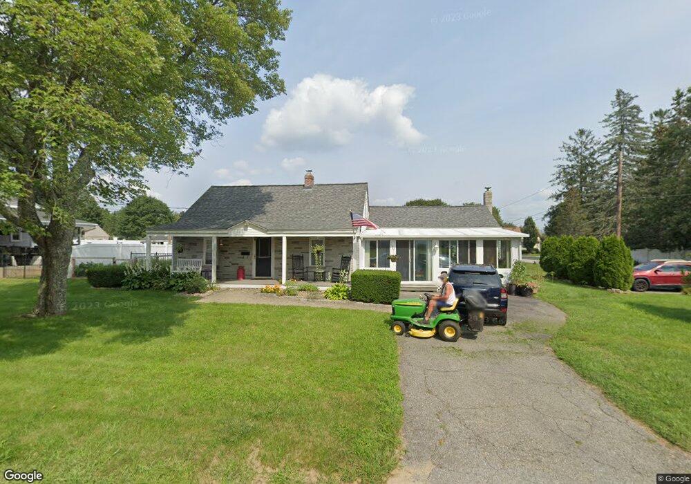
25 Longview St West Boylston, MA 01583
Estimated Value: $536,519 - $569,000
4
Beds
1
Bath
2,025
Sq Ft
$274/Sq Ft
Est. Value
About This Home
This home is located at 25 Longview St, West Boylston, MA 01583 and is currently estimated at $555,130, approximately $274 per square foot. 25 Longview St is a home located in Worcester County with nearby schools including Major Edwards Elementary School, West Boylston Junior/Senior High School, and Abby Kelley Foster Charter Public School.
Ownership History
Date
Name
Owned For
Owner Type
Purchase Details
Closed on
Sep 25, 2025
Sold by
Peterson David W and Peterson Dianna L
Bought by
Peterson Ft and Peterson
Current Estimated Value
Purchase Details
Closed on
Sep 2, 1986
Bought by
Peterson David W and Peterson Dianna L
Create a Home Valuation Report for This Property
The Home Valuation Report is an in-depth analysis detailing your home's value as well as a comparison with similar homes in the area
Home Values in the Area
Average Home Value in this Area
Purchase History
| Date | Buyer | Sale Price | Title Company |
|---|---|---|---|
| Peterson Ft | -- | -- | |
| Peterson David W | $119,000 | -- |
Source: Public Records
Mortgage History
| Date | Status | Borrower | Loan Amount |
|---|---|---|---|
| Previous Owner | Peterson David W | $40,000 | |
| Previous Owner | Peterson David W | $101,000 |
Source: Public Records
Tax History Compared to Growth
Tax History
| Year | Tax Paid | Tax Assessment Tax Assessment Total Assessment is a certain percentage of the fair market value that is determined by local assessors to be the total taxable value of land and additions on the property. | Land | Improvement |
|---|---|---|---|---|
| 2025 | $6,505 | $469,000 | $91,000 | $378,000 |
| 2024 | $6,085 | $411,700 | $91,000 | $320,700 |
| 2023 | $6,146 | $394,500 | $90,400 | $304,100 |
| 2022 | $5,582 | $315,700 | $90,400 | $225,300 |
| 2021 | $5,579 | $302,200 | $86,200 | $216,000 |
| 2020 | $5,481 | $295,000 | $86,200 | $208,800 |
| 2019 | $5,261 | $279,100 | $86,200 | $192,900 |
| 2018 | $4,805 | $256,700 | $74,100 | $182,600 |
| 2017 | $4,527 | $240,800 | $74,100 | $166,700 |
| 2016 | $4,450 | $241,200 | $75,400 | $165,800 |
| 2015 | $4,233 | $230,800 | $74,600 | $156,200 |
Source: Public Records
Map
Nearby Homes
- 1 Highland Ave
- 12 Birchbrush Ln
- 740 Burncoat St Unit B
- 156 Hillside Village Dr
- 33 Meola Ave
- 39 Meola Ave
- 1110 W Boylston St Unit A
- 33 Isleboro St
- 39 Davidson Rd
- 29 Isleboro St
- 1097 W Boylston St
- 7 Christy Ct
- 83 Hillside Village Dr
- 59 Santoro Rd
- 97 Hillside Village Dr
- 44 Dixfield St
- 22 Danielles Way
- 26 Danielles Way
- 31 Danielles Way
- 12 Dixfield Rd