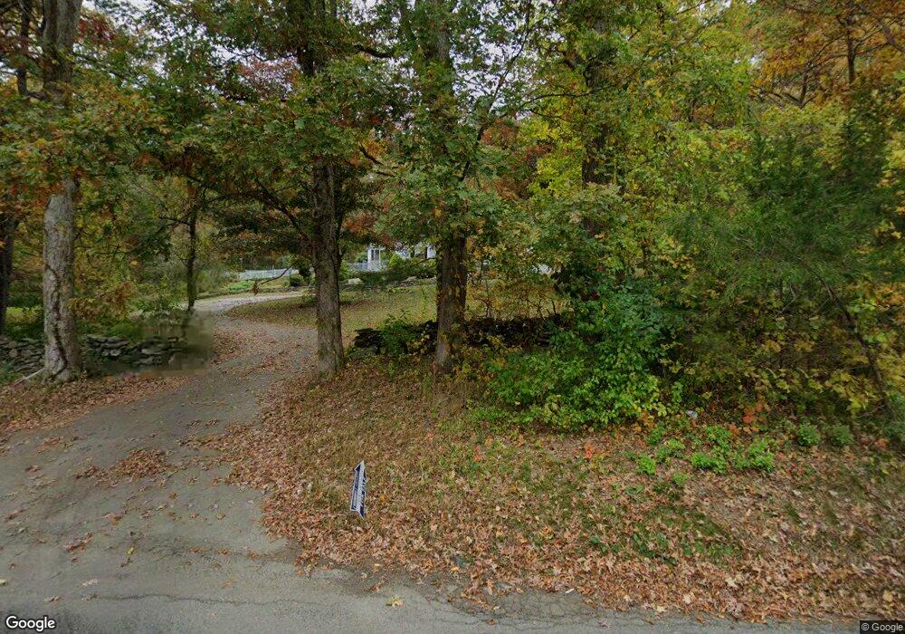
25 Lovett Rd Oxford, MA 01540
Estimated Value: $490,000 - $538,065
3
Beds
2
Baths
1,680
Sq Ft
$307/Sq Ft
Est. Value
About This Home
This home is located at 25 Lovett Rd, Oxford, MA 01540 and is currently estimated at $515,016, approximately $306 per square foot. 25 Lovett Rd is a home located in Worcester County with nearby schools including Alfred M Chaffee, Oxford High School, and Clara Barton Elementary School.
Ownership History
Date
Name
Owned For
Owner Type
Purchase Details
Closed on
Oct 1, 2020
Sold by
Trainor Elizabeth F Est
Bought by
Curtis Blanca
Current Estimated Value
Purchase Details
Closed on
Apr 14, 2020
Sold by
Trainor Elizabeth F Est
Bought by
Power David P
Home Financials for this Owner
Home Financials are based on the most recent Mortgage that was taken out on this home.
Original Mortgage
$284,050
Interest Rate
3.3%
Mortgage Type
New Conventional
Create a Home Valuation Report for This Property
The Home Valuation Report is an in-depth analysis detailing your home's value as well as a comparison with similar homes in the area
Home Values in the Area
Average Home Value in this Area
Purchase History
| Date | Buyer | Sale Price | Title Company |
|---|---|---|---|
| Curtis Blanca | $93,172 | None Available | |
| Power David P | $299,000 | None Available |
Source: Public Records
Mortgage History
| Date | Status | Borrower | Loan Amount |
|---|---|---|---|
| Previous Owner | Power David P | $284,050 |
Source: Public Records
Tax History Compared to Growth
Tax History
| Year | Tax Paid | Tax Assessment Tax Assessment Total Assessment is a certain percentage of the fair market value that is determined by local assessors to be the total taxable value of land and additions on the property. | Land | Improvement |
|---|---|---|---|---|
| 2025 | $5,914 | $466,800 | $128,900 | $337,900 |
| 2024 | $5,845 | $433,600 | $122,700 | $310,900 |
| 2023 | $5,505 | $403,600 | $117,300 | $286,300 |
| 2022 | $4,767 | $295,000 | $92,800 | $202,200 |
| 2021 | $4,618 | $279,400 | $88,400 | $191,000 |
| 2020 | $8,535 | $512,300 | $316,500 | $195,800 |
| 2019 | $5,515 | $441,900 | $266,400 | $175,500 |
| 2018 | $7,347 | $425,400 | $266,400 | $159,000 |
| 2017 | $7,077 | $420,000 | $255,400 | $164,600 |
| 2016 | $7,111 | $420,000 | $255,400 | $164,600 |
| 2015 | $6,632 | $420,000 | $255,400 | $164,600 |
| 2014 | $6,309 | $420,600 | $248,700 | $171,900 |
Source: Public Records
Map
Nearby Homes
- 11 Lovett Rd
- 35 &33 Sutton Ave
- 0 Dana Rd
- 15 Lind St
- 18 Sutton Ave
- 12 New St
- 11 Sutton Ave
- 5 Carlton Ct
- 397 Main St
- 8 Turk Hollow Rd
- 6 Rawson Ave
- L0T 11 History Dr
- L0T 3 History Dr
- 3 Rhonda Rheault Dr
- 7 Millbury Blvd
- 0 Federal Hill Rd Unit 73422286
- L0T 12 History Dr
- 7 Tower Hill Rd
- 36 Locust St
- 9 Howarth Rd