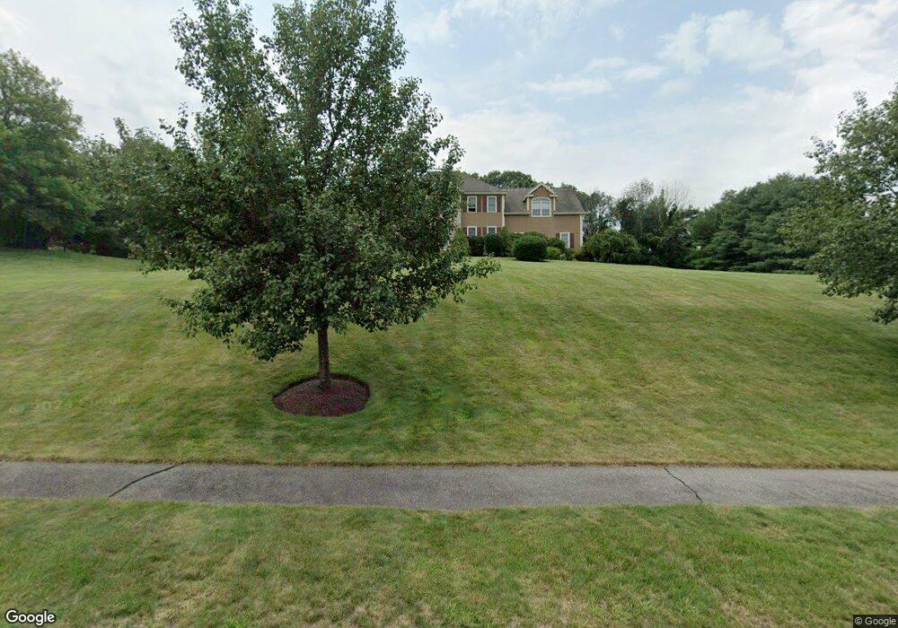
25 Macdougald Dr Wrentham, MA 02093
West Wrentham NeighborhoodEstimated Value: $969,000 - $1,177,000
4
Beds
3
Baths
3,041
Sq Ft
$351/Sq Ft
Est. Value
About This Home
This home is located at 25 Macdougald Dr, Wrentham, MA 02093 and is currently estimated at $1,066,593, approximately $350 per square foot. 25 Macdougald Dr is a home located in Norfolk County with nearby schools including Delaney Elementary School, Charles E Roderick, and Benjamin Franklin Classical Charter Public School.
Ownership History
Date
Name
Owned For
Owner Type
Purchase Details
Closed on
Mar 27, 1998
Sold by
Bailey & Zahmer Bldrs
Bought by
Peterson Bardley J
Current Estimated Value
Home Financials for this Owner
Home Financials are based on the most recent Mortgage that was taken out on this home.
Original Mortgage
$265,000
Outstanding Balance
$49,690
Interest Rate
6.96%
Mortgage Type
Purchase Money Mortgage
Estimated Equity
$1,016,903
Create a Home Valuation Report for This Property
The Home Valuation Report is an in-depth analysis detailing your home's value as well as a comparison with similar homes in the area
Home Values in the Area
Average Home Value in this Area
Purchase History
| Date | Buyer | Sale Price | Title Company |
|---|---|---|---|
| Peterson Bardley J | $364,710 | -- |
Source: Public Records
Mortgage History
| Date | Status | Borrower | Loan Amount |
|---|---|---|---|
| Open | Peterson Bardley J | $96,000 | |
| Open | Peterson Bardley J | $265,000 |
Source: Public Records
Tax History
| Year | Tax Paid | Tax Assessment Tax Assessment Total Assessment is a certain percentage of the fair market value that is determined by local assessors to be the total taxable value of land and additions on the property. | Land | Improvement |
|---|---|---|---|---|
| 2025 | $10,553 | $910,500 | $331,200 | $579,300 |
| 2024 | $10,054 | $837,800 | $331,200 | $506,600 |
| 2023 | $10,072 | $798,100 | $301,200 | $496,900 |
| 2022 | $9,569 | $700,000 | $281,300 | $418,700 |
| 2021 | $8,874 | $630,700 | $245,500 | $385,200 |
| 2020 | $9,164 | $643,100 | $218,500 | $424,600 |
| 2019 | $8,807 | $623,700 | $218,500 | $405,200 |
| 2018 | $8,436 | $592,400 | $218,200 | $374,200 |
| 2017 | $8,265 | $580,000 | $214,000 | $366,000 |
| 2016 | $8,092 | $566,700 | $207,800 | $358,900 |
| 2015 | $8,115 | $541,700 | $199,700 | $342,000 |
| 2014 | $7,983 | $521,400 | $192,100 | $329,300 |
Source: Public Records
Map
Nearby Homes
- 10 Follett Dr
- 60 Grant Ave
- 1620 West St
- 25 Nature View Dr
- 172 Pine Swamp Rd
- 180 Pine Swamp Rd
- 56 Pine Swamp Rd
- 365 W Wrentham Rd
- 20 Nature View Dr
- 9 Reagan Ave
- 900 Washington St Lot 2
- 9 Pebble Cir Unit 9
- 47 Austin Dr
- 925 Washington St
- 23 Palmetto Dr Unit 23
- 21 Palmetto Dr Unit 21
- 24 Palmetto Dr Unit 24
- 9 Brookfield Ln
- 4 Carnation St
- 1 Spring St
Your Personal Tour Guide
Ask me questions while you tour the home.