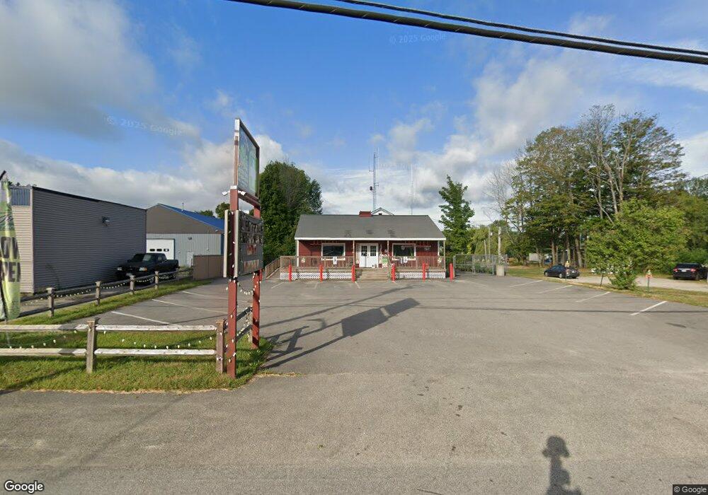
25 Main St Limerick, ME 04048
Estimated Value: $270,000
--
Bed
--
Bath
7,626
Sq Ft
$35/Sq Ft
Est. Value
About This Home
This home is located at 25 Main St, Limerick, ME 04048 and is currently estimated at $270,000, approximately $35 per square foot. 25 Main St is a home located in York County with nearby schools including Massabesic High School and Ossipee Valley Christian School.
Ownership History
Date
Name
Owned For
Owner Type
Purchase Details
Closed on
Mar 12, 2021
Sold by
Swett Catherine F
Bought by
David Jody
Current Estimated Value
Home Financials for this Owner
Home Financials are based on the most recent Mortgage that was taken out on this home.
Original Mortgage
$39,000
Outstanding Balance
$34,802
Interest Rate
2.7%
Mortgage Type
Purchase Money Mortgage
Estimated Equity
$235,198
Purchase Details
Closed on
Aug 14, 2020
Sold by
Williams Lester
Bought by
David Jody E
Purchase Details
Closed on
Sep 13, 2016
Sold by
Benson Coburn B
Bought by
Williams Lester and Benson Coburn B
Create a Home Valuation Report for This Property
The Home Valuation Report is an in-depth analysis detailing your home's value as well as a comparison with similar homes in the area
Home Values in the Area
Average Home Value in this Area
Purchase History
| Date | Buyer | Sale Price | Title Company |
|---|---|---|---|
| David Jody | -- | None Available | |
| David Jody | -- | None Available | |
| David Jody | -- | None Available | |
| David Jody E | -- | None Available | |
| David Jody E | -- | None Available | |
| David Jody E | -- | None Available | |
| Williams Lester | -- | -- | |
| Williams Lester | -- | -- | |
| Williams Lester | -- | -- |
Source: Public Records
Mortgage History
| Date | Status | Borrower | Loan Amount |
|---|---|---|---|
| Open | David Jody | $39,000 | |
| Closed | David Jody | $39,000 |
Source: Public Records
Tax History Compared to Growth
Tax History
| Year | Tax Paid | Tax Assessment Tax Assessment Total Assessment is a certain percentage of the fair market value that is determined by local assessors to be the total taxable value of land and additions on the property. | Land | Improvement |
|---|---|---|---|---|
| 2025 | $2,461 | $259,011 | $96,450 | $162,561 |
| 2024 | $2,461 | $259,011 | $96,450 | $162,561 |
| 2023 | $3,602 | $236,958 | $63,714 | $173,244 |
| 2022 | $3,365 | $236,958 | $63,714 | $173,244 |
| 2021 | $3,147 | $189,566 | $50,971 | $138,595 |
| 2020 | $2,604 | $158,798 | $50,971 | $107,827 |
| 2019 | $2,501 | $158,798 | $50,971 | $107,827 |
| 2018 | $2,565 | $158,798 | $50,971 | $107,827 |
| 2017 | $2,501 | $158,798 | $50,971 | $107,827 |
| 2016 | $2,390 | $158,798 | $50,971 | $107,827 |
| 2015 | $2,318 | $158,798 | $50,971 | $107,827 |
| 2014 | $2,247 | $158,798 | $50,971 | $107,827 |
Source: Public Records
Map
Nearby Homes
- 36 Elm St
- 148 Washington St Unit A
- 33 Maple St
- 7 Echo Ln
- 243 Sokokis Trail N
- 80 Kelley Ln
- 16 Whiteley Rd
- 21 Quarry Rd
- 4 Deer Crossing Rd
- 71 Quarry Rd
- LOT# 8 Business Park Rd
- Lot# 11 Business Park Rd
- 48 Pleasant Hill Rd
- 110 Pleasant Hill Rd
- 91 Pleasant Hill Rd
- 0 Stone Hill Rd
- 14 Mallard Dr
- 515 Range East Rd
- 155 Quarry Rd
- 55 Sportsmans Way