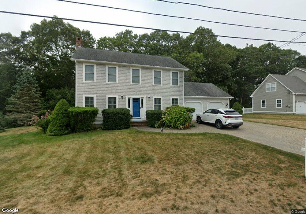
25 Manning Dr Narragansett, RI 02882
Estimated Value: $884,000 - $1,290,000
3
Beds
3
Baths
2,380
Sq Ft
$435/Sq Ft
Est. Value
About This Home
This home is located at 25 Manning Dr, Narragansett, RI 02882 and is currently estimated at $1,035,554, approximately $435 per square foot. 25 Manning Dr is a home located in Washington County with nearby schools including Narragansett Elementary School, Narragansett Pier Middle School, and Narragansett High School.
Create a Home Valuation Report for This Property
The Home Valuation Report is an in-depth analysis detailing your home's value as well as a comparison with similar homes in the area
Home Values in the Area
Average Home Value in this Area
Tax History Compared to Growth
Tax History
| Year | Tax Paid | Tax Assessment Tax Assessment Total Assessment is a certain percentage of the fair market value that is determined by local assessors to be the total taxable value of land and additions on the property. | Land | Improvement |
|---|---|---|---|---|
| 2025 | $5,376 | $791,700 | $292,600 | $499,100 |
| 2024 | $5,186 | $791,700 | $292,600 | $499,100 |
| 2023 | $4,959 | $532,700 | $188,800 | $343,900 |
| 2022 | $4,794 | $532,700 | $188,800 | $343,900 |
| 2021 | $4,720 | $532,700 | $188,800 | $343,900 |
| 2020 | $4,887 | $466,300 | $161,600 | $304,700 |
| 2019 | $4,770 | $466,300 | $161,600 | $304,700 |
| 2018 | $4,640 | $466,300 | $161,600 | $304,700 |
| 2017 | $4,448 | $421,200 | $149,400 | $271,800 |
| 2016 | $4,246 | $421,200 | $149,400 | $271,800 |
| 2015 | $4,187 | $421,200 | $149,400 | $271,800 |
| 2014 | $4,200 | $418,300 | $149,400 | $268,900 |
Source: Public Records
Map
Nearby Homes
- 576 Point Judith Rd
- 660 Point Judith Rd Unit D2
- 41 Fox Dr
- 27 Foster Ln
- 3 Fox Dr
- 2 Bristol Rd
- 6 Pendleton Place
- 147 Foddering Farm Rd
- 64 Burnside Ave
- 45 Durkin Dr
- 31 E Pond Rd
- 8 Knowlesway
- 238 Wood Hill Rd
- 17 Goose Island Rd
- 20 Marine Dr
- 1044 Ocean Rd
- 1046 Ocean Rd
- 0 Hazard Ave
- 35 Anna Olivo Ct
- 26 Westmoreland St