25 Maywood Ave Hyannis, MA 2601
Estimated Value: $998,000 - $5,800,691
3
Beds
4
Baths
3,476
Sq Ft
$978/Sq Ft
Est. Value
About This Home
This home is located at 25 Maywood Ave, Hyannis, MA 2601 and is currently estimated at $3,399,346, approximately $977 per square foot. 25 Maywood Ave is a home located in Barnstable County with nearby schools including Hyannis West Elementary School, Barnstable United Elementary School, and Barnstable Intermediate School.
Ownership History
Date
Name
Owned For
Owner Type
Purchase Details
Closed on
Mar 1, 2018
Sold by
Kathleen & A Home Graft and Lluberes
Bought by
Kerr Ft and Kerr
Current Estimated Value
Purchase Details
Closed on
May 6, 2008
Sold by
Maywood Avenue Nt and Graff
Bought by
Kathleen A Horne Graff A and Kathleen Evans
Create a Home Valuation Report for This Property
The Home Valuation Report is an in-depth analysis detailing your home's value as well as a comparison with similar homes in the area
Home Values in the Area
Average Home Value in this Area
Purchase History
| Date | Buyer | Sale Price | Title Company |
|---|---|---|---|
| Kerr Ft | $2,894,000 | -- | |
| Kathleen A Horne Graff A | -- | -- |
Source: Public Records
Tax History Compared to Growth
Tax History
| Year | Tax Paid | Tax Assessment Tax Assessment Total Assessment is a certain percentage of the fair market value that is determined by local assessors to be the total taxable value of land and additions on the property. | Land | Improvement |
|---|---|---|---|---|
| 2025 | $59,131 | $6,378,700 | $3,867,100 | $2,511,600 |
| 2024 | $50,403 | $5,569,400 | $3,867,100 | $1,702,300 |
| 2023 | $33,644 | $3,515,600 | $3,515,600 | $0 |
| 2022 | $33,729 | $2,915,200 | $2,508,000 | $407,200 |
| 2021 | $33,873 | $2,844,100 | $2,508,000 | $336,100 |
| 2020 | $34,984 | $2,837,300 | $2,509,200 | $328,100 |
| 2019 | $32,853 | $2,611,500 | $2,316,300 | $295,200 |
| 2018 | $33,067 | $2,688,400 | $2,438,200 | $250,200 |
| 2017 | $32,235 | $2,688,500 | $2,438,200 | $250,300 |
| 2016 | $37,014 | $3,155,500 | $2,942,200 | $213,300 |
| 2015 | $34,565 | $2,987,500 | $2,776,000 | $211,500 |
Source: Public Records
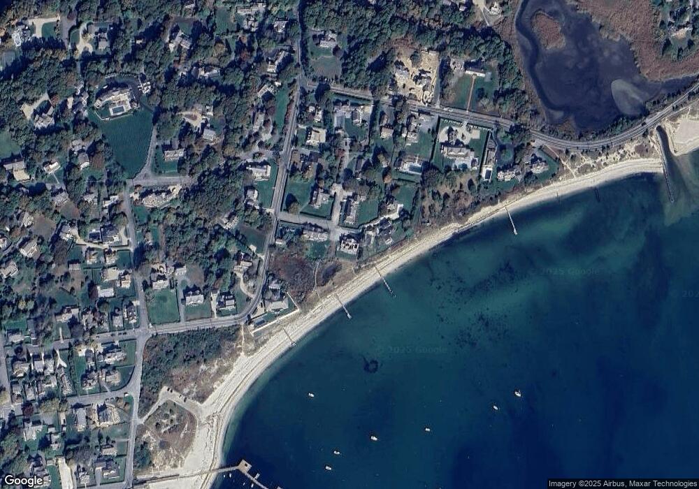
Map
Nearby Homes
- 18 Mount Vernon Ave
- 172 Irving Ave
- 35 Grayton Ave
- 427 Scudder Ave
- 50 Redwood Ln
- 113 Briarwood Ave
- 281 Gosnold St
- 342 Sea St
- 230 Gosnold St Unit 11A-11B-11C
- 230 Gosnold St Unit 11ABC
- 20 Sunset Terrace
- 15 Sterling Rd
- 93 Sea St
- 24 Bettys Pond Rd Unit K
- 24 Betty's Pond Rd Unit 1K
- 112 W Main St Unit 1
- 112 W Main St Unit 2
- 112 W Main St Unit 4
- 112 W Main St Unit 7
- 112 W Main St Unit 3