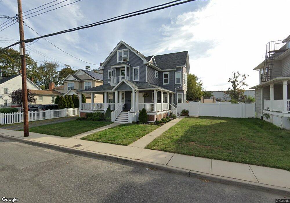
25 N 5th Ave Unit 2 Long Branch, NJ 07740
Estimated Value: $587,000 - $844,000
2
Beds
1
Bath
1,100
Sq Ft
$686/Sq Ft
Est. Value
About This Home
This home is located at 25 N 5th Ave Unit 2, Long Branch, NJ 07740 and is currently estimated at $755,007, approximately $686 per square foot. 25 N 5th Ave Unit 2 is a home located in Monmouth County with nearby schools including Long Branch High School and Holy Trinity School.
Ownership History
Date
Name
Owned For
Owner Type
Purchase Details
Closed on
Aug 11, 2021
Sold by
Abraham Tinoy and Abraham Christy
Bought by
Ibarra Enrique and Areves Irma P
Current Estimated Value
Home Financials for this Owner
Home Financials are based on the most recent Mortgage that was taken out on this home.
Original Mortgage
$643,136
Outstanding Balance
$583,929
Interest Rate
2.8%
Mortgage Type
FHA
Estimated Equity
$171,078
Purchase Details
Closed on
Oct 2, 2017
Sold by
Gwendolyn Blake
Bought by
Abraham Tinoy and Abraham Christy
Purchase Details
Closed on
Dec 28, 2009
Sold by
Blake Gwendolyn and Estate Of Charles Alexander Pr
Bought by
Blake Gwendolyn and Pratt Charles A
Create a Home Valuation Report for This Property
The Home Valuation Report is an in-depth analysis detailing your home's value as well as a comparison with similar homes in the area
Home Values in the Area
Average Home Value in this Area
Purchase History
| Date | Buyer | Sale Price | Title Company |
|---|---|---|---|
| Ibarra Enrique | $655,000 | Surety Title Company | |
| Abraham Tinoy | $270,000 | -- | |
| Blake Gwendolyn | -- | None Available |
Source: Public Records
Mortgage History
| Date | Status | Borrower | Loan Amount |
|---|---|---|---|
| Open | Ibarra Enrique | $643,136 |
Source: Public Records
Tax History Compared to Growth
Tax History
| Year | Tax Paid | Tax Assessment Tax Assessment Total Assessment is a certain percentage of the fair market value that is determined by local assessors to be the total taxable value of land and additions on the property. | Land | Improvement |
|---|---|---|---|---|
| 2025 | $9,766 | $707,000 | $168,400 | $538,600 |
| 2024 | $9,349 | $635,400 | $120,300 | $515,100 |
| 2023 | $9,349 | $602,000 | $110,300 | $491,700 |
| 2022 | $6,217 | $526,500 | $93,300 | $433,200 |
| 2021 | $6,217 | $310,700 | $78,300 | $232,400 |
| 2020 | $6,402 | $306,300 | $75,300 | $231,000 |
| 2019 | $6,214 | $295,600 | $75,300 | $220,300 |
| 2018 | $7,670 | $362,800 | $75,300 | $287,500 |
| 2017 | $7,364 | $357,300 | $75,300 | $282,000 |
| 2016 | $7,278 | $360,100 | $85,300 | $274,800 |
| 2015 | $4,677 | $210,000 | $90,500 | $119,500 |
| 2014 | $4,494 | $212,700 | $106,700 | $106,000 |
Source: Public Records
Map
Nearby Homes
- 40 N 5th Ave
- 14 Slocum Place
- 39 Slocum Place
- 145 Stokes Place
- 143 Stokes Place
- 167 Chelsea Ave
- 40 University Dr
- 151 N 5th Ave
- 176 Chelsea Ave
- 148 Sixth Ave
- 144 Westwood Ave
- 184 N 5th Ave
- 170 Franklin Ave
- 158 Franklin Ave
- 152 Franklin Ave
- 150 Franklin Ave Unit 5
- 166 Franklin Ave Unit 8
- 103 Franklin Ave
- 211 Rockwell Ave
- 401 Joline Ave