25 N Kenny Shore Wolfeboro, NH 03894
Estimated Value: $990,000 - $1,361,000
2
Beds
2
Baths
1,934
Sq Ft
$577/Sq Ft
Est. Value
About This Home
This home is located at 25 N Kenny Shore, Wolfeboro, NH 03894 and is currently estimated at $1,116,689, approximately $577 per square foot. 25 N Kenny Shore is a home located in Carroll County with nearby schools including Carpenter Elementary School, Crescent Lake School, and Kingswood Regional Middle School.
Ownership History
Date
Name
Owned For
Owner Type
Purchase Details
Closed on
Jun 15, 2022
Sold by
Isaacson Ft and Stsauveur
Bought by
Stsauveur Richard T and Stsauveur Dara L
Current Estimated Value
Home Financials for this Owner
Home Financials are based on the most recent Mortgage that was taken out on this home.
Original Mortgage
$555,500
Outstanding Balance
$528,468
Interest Rate
5.25%
Mortgage Type
Stand Alone Refi Refinance Of Original Loan
Estimated Equity
$588,221
Create a Home Valuation Report for This Property
The Home Valuation Report is an in-depth analysis detailing your home's value as well as a comparison with similar homes in the area
Home Values in the Area
Average Home Value in this Area
Purchase History
| Date | Buyer | Sale Price | Title Company |
|---|---|---|---|
| Stsauveur Richard T | -- | None Available |
Source: Public Records
Mortgage History
| Date | Status | Borrower | Loan Amount |
|---|---|---|---|
| Open | Stsauveur Richard T | $555,500 |
Source: Public Records
Tax History Compared to Growth
Tax History
| Year | Tax Paid | Tax Assessment Tax Assessment Total Assessment is a certain percentage of the fair market value that is determined by local assessors to be the total taxable value of land and additions on the property. | Land | Improvement |
|---|---|---|---|---|
| 2024 | $10,407 | $654,500 | $460,200 | $194,300 |
| 2023 | $9,615 | $654,500 | $460,200 | $194,300 |
| 2022 | $8,652 | $654,500 | $460,200 | $194,300 |
| 2021 | $8,947 | $654,500 | $460,200 | $194,300 |
| 2020 | $8,592 | $660,400 | $460,200 | $200,200 |
| 2019 | $8,645 | $545,800 | $396,600 | $149,200 |
| 2018 | $8,624 | $545,800 | $396,600 | $149,200 |
| 2017 | $8,176 | $545,800 | $396,600 | $149,200 |
| 2016 | $7,985 | $545,800 | $396,600 | $149,200 |
| 2015 | $7,410 | $531,200 | $396,600 | $134,600 |
| 2014 | $8,531 | $655,700 | $500,800 | $154,900 |
| 2013 | $8,413 | $655,700 | $500,800 | $154,900 |
Source: Public Records
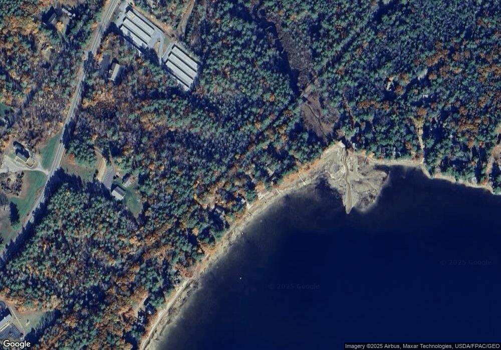
Map
Nearby Homes
- 1237 Center St
- 42 College Rd
- 69 College Rd
- Map 102 L 4 Center St
- 78 College Rd
- 883 Center St
- 7 Shady Ln
- 10 Granite Ln
- 00 Trask Mountain (Lot 3) Rd Unit 3
- 29 Birch Hill Estates Rd
- 108 Whitten Neck Rd
- 4 June Bug Ln
- 408 Governor Wentworth Hwy Unit 44
- 0 Camp Rd Unit 5022980
- 269 Trotting Track Rd
- 172 Center St
- Map 20 Lot 13 Beach Pond Rd
- 475 Governor Wentworth Hwy
- 79 River St
- 00 Beach Pond Rd Unit 35
- 29 N Kenney Shore
- 21 N Kenny Shore
- 29 N Kenny Shore
- 7 N Kenny Shore
- 33 N Kenney Shore
- 5 N Kenny Shore
- 3 N Kenny Shore
- 14 Farm Pond Unit Lot 5
- 14 Farm Pond
- 2 S Kenny Shore
- 8 Fern Ave
- 6 Fern Ave
- 5 Fern Ave
- 8 S Kenny Shore
- 4 S Kenny Shore
- 2 Fern Ave
- 2 Fern Ave Unit 6
- 2 Fern Ave Unit 7
- 1 Fern Ave
- 1 Fern Ave Unit 4