25 O K Ave Dennis, MA 2638
Dennis Village NeighborhoodEstimated Value: $1,385,000 - $2,289,000
2
Beds
2
Baths
1,152
Sq Ft
$1,430/Sq Ft
Est. Value
About This Home
This home is located at 25 O K Ave, Dennis, MA 2638 and is currently estimated at $1,647,683, approximately $1,430 per square foot. 25 O K Ave is a home located in Barnstable County with nearby schools including Dennis-Yarmouth Regional High School.
Ownership History
Date
Name
Owned For
Owner Type
Purchase Details
Closed on
Jan 17, 2020
Sold by
25 O K Avenue Rt and Hudson
Bought by
Hudson William B and Hudson Julie C
Current Estimated Value
Home Financials for this Owner
Home Financials are based on the most recent Mortgage that was taken out on this home.
Original Mortgage
$710,000
Outstanding Balance
$625,967
Interest Rate
3.6%
Mortgage Type
New Conventional
Estimated Equity
$1,021,716
Purchase Details
Closed on
Feb 10, 2009
Sold by
Hudson John F and Hudson Meredith A
Bought by
25 O K Avenue Rt and Hudson
Purchase Details
Closed on
Oct 28, 1985
Bought by
25 O K Ave Rt
Create a Home Valuation Report for This Property
The Home Valuation Report is an in-depth analysis detailing your home's value as well as a comparison with similar homes in the area
Home Values in the Area
Average Home Value in this Area
Purchase History
| Date | Buyer | Sale Price | Title Company |
|---|---|---|---|
| Hudson William B | $710,000 | None Available | |
| 25 O K Avenue Rt | -- | -- | |
| 25 O K Avenue Rt | -- | -- | |
| 25 O K Ave Rt | -- | -- |
Source: Public Records
Mortgage History
| Date | Status | Borrower | Loan Amount |
|---|---|---|---|
| Open | Hudson William B | $710,000 |
Source: Public Records
Tax History Compared to Growth
Tax History
| Year | Tax Paid | Tax Assessment Tax Assessment Total Assessment is a certain percentage of the fair market value that is determined by local assessors to be the total taxable value of land and additions on the property. | Land | Improvement |
|---|---|---|---|---|
| 2025 | $5,744 | $1,326,500 | $915,500 | $411,000 |
| 2024 | $5,278 | $1,202,200 | $786,100 | $416,100 |
| 2023 | $5,123 | $1,097,100 | $714,600 | $382,500 |
| 2022 | $5,220 | $932,200 | $643,800 | $288,400 |
| 2021 | $5,298 | $878,600 | $631,100 | $247,500 |
| 2020 | $5,219 | $855,500 | $631,100 | $224,400 |
| 2019 | $5,045 | $817,700 | $618,800 | $198,900 |
| 2018 | $3,978 | $627,500 | $452,400 | $175,100 |
| 2017 | $4,148 | $674,500 | $499,400 | $175,100 |
| 2016 | $4,050 | $620,200 | $471,200 | $149,000 |
| 2015 | $3,969 | $620,200 | $471,200 | $149,000 |
| 2014 | $3,824 | $602,200 | $442,900 | $159,300 |
Source: Public Records
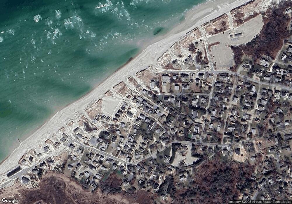
Map
Nearby Homes
- 7 Collins Ave
- 94 Horsefoot Path
- 4 Spadoni Rd
- 4 Spadoni Way
- 69 Horsefoot Path
- 49 Rodoalph's Way
- 12 Dunes View Rd
- 25 Horsefoot Path
- 156 Shore Dr
- 96 Shore Dr
- 37 Johnson Ln
- 7 Dolphin Way
- 73 Pilgrim Rd
- 19 Whig St
- 59 Hope Ln
- 19 Deacon Joseph Ln
- 645 Main St Back Lot
- 50 John Hall Cartway
- 50 John Hall Cartway Unit 50
- 15 Signal Hill Dr