25 Old Farm Rd Unit 1 Sturbridge, MA 01566
Estimated Value: $486,000 - $516,000
4
Beds
2
Baths
1,568
Sq Ft
$318/Sq Ft
Est. Value
About This Home
This home is located at 25 Old Farm Rd Unit 1, Sturbridge, MA 01566 and is currently estimated at $498,254, approximately $317 per square foot. 25 Old Farm Rd Unit 1 is a home located in Worcester County with nearby schools including Burgess Elementary School, Tantasqua Regional Junior High School, and Tantasqua Regional High School.
Ownership History
Date
Name
Owned For
Owner Type
Purchase Details
Closed on
Jun 27, 2018
Sold by
Hurley Joan G and Geary Paul
Bought by
Stern Catherine T and Stern Daniel J
Current Estimated Value
Home Financials for this Owner
Home Financials are based on the most recent Mortgage that was taken out on this home.
Original Mortgage
$276,250
Outstanding Balance
$239,941
Interest Rate
4.6%
Mortgage Type
New Conventional
Estimated Equity
$258,313
Purchase Details
Closed on
Jun 24, 2016
Sold by
Haddad Richard P
Bought by
Geary Paul and Hurley Joan G
Home Financials for this Owner
Home Financials are based on the most recent Mortgage that was taken out on this home.
Original Mortgage
$242,250
Interest Rate
3.57%
Mortgage Type
New Conventional
Purchase Details
Closed on
Feb 24, 2012
Sold by
Haddad Richard P and Haddad April D
Bought by
Haddad Richard P
Purchase Details
Closed on
May 21, 2009
Sold by
Barnicle David M and Frey Anne Marie
Bought by
Haddad Richard P and Haddad April D
Home Financials for this Owner
Home Financials are based on the most recent Mortgage that was taken out on this home.
Original Mortgage
$245,160
Interest Rate
4.93%
Mortgage Type
Purchase Money Mortgage
Purchase Details
Closed on
Mar 16, 1990
Sold by
Awan Roohi S
Bought by
Frey Michael C
Create a Home Valuation Report for This Property
The Home Valuation Report is an in-depth analysis detailing your home's value as well as a comparison with similar homes in the area
Home Values in the Area
Average Home Value in this Area
Purchase History
| Date | Buyer | Sale Price | Title Company |
|---|---|---|---|
| Stern Catherine T | $325,000 | -- | |
| Geary Paul | $255,000 | -- | |
| Haddad Richard P | -- | -- | |
| Haddad Richard P | $240,000 | -- | |
| Frey Michael C | $139,000 | -- |
Source: Public Records
Mortgage History
| Date | Status | Borrower | Loan Amount |
|---|---|---|---|
| Open | Stern Catherine T | $276,250 | |
| Previous Owner | Geary Paul | $242,250 | |
| Previous Owner | Haddad Richard P | $245,160 | |
| Previous Owner | Frey Michael C | $180,500 | |
| Previous Owner | Frey Michael C | $147,500 |
Source: Public Records
Tax History Compared to Growth
Tax History
| Year | Tax Paid | Tax Assessment Tax Assessment Total Assessment is a certain percentage of the fair market value that is determined by local assessors to be the total taxable value of land and additions on the property. | Land | Improvement |
|---|---|---|---|---|
| 2025 | $7,205 | $452,300 | $101,000 | $351,300 |
| 2024 | $6,555 | $397,500 | $99,100 | $298,400 |
| 2023 | $6,212 | $343,800 | $86,600 | $257,200 |
| 2022 | $5,793 | $302,500 | $78,500 | $224,000 |
| 2021 | $5,075 | $266,800 | $74,900 | $191,900 |
| 2020 | $5,075 | $266,800 | $74,900 | $191,900 |
| 2019 | $4,303 | $224,700 | $77,100 | $147,600 |
| 2018 | $4,228 | $217,500 | $73,500 | $144,000 |
| 2017 | $4,103 | $211,500 | $70,700 | $140,800 |
| 2016 | $4,074 | $212,100 | $68,500 | $143,600 |
| 2015 | $4,000 | $207,900 | $68,500 | $139,400 |
Source: Public Records
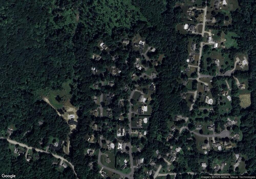
Map
Nearby Homes
- 0 Fiske Hill Rd
- 6 Mcgilpin Rd
- 1 Chase Rd
- 14 Maple St
- 101 Mcgilpin Rd
- 7 Haynes St
- 9 Haynes St
- 3 Berry Farms Road - Jv
- 8 Blueberry Ln
- 5 Fairview Park Rd Unit A10
- 6 Berry Farms Rd Unit 63
- 6 Berry Farms Rd Unit 6
- 6 Berry Farms Rd Unit 64
- 6 Berry Farms Rd Unit 3
- Lot 1 Berry Farms Road-2 Acre
- 20 Audubon Way
- 73 New Boston Rd
- 368 Main St
- Lot B-6 River Rd
- 22 Mountain Brook Rd