25 Old Nugent Farm Rd Gloucester, MA 01930
East Gloucester NeighborhoodEstimated Value: $933,000 - $1,319,000
3
Beds
4
Baths
2,854
Sq Ft
$400/Sq Ft
Est. Value
About This Home
This home is located at 25 Old Nugent Farm Rd, Gloucester, MA 01930 and is currently estimated at $1,142,038, approximately $400 per square foot. 25 Old Nugent Farm Rd is a home located in Essex County with nearby schools including East Gloucester Elementary School, Ralph B O'maley Middle School, and Gloucester High School.
Ownership History
Date
Name
Owned For
Owner Type
Purchase Details
Closed on
Aug 31, 2006
Sold by
Rood Churchill G and Rood Suzanne L
Bought by
Schulz William
Current Estimated Value
Home Financials for this Owner
Home Financials are based on the most recent Mortgage that was taken out on this home.
Original Mortgage
$417,000
Outstanding Balance
$252,600
Interest Rate
6.83%
Mortgage Type
Purchase Money Mortgage
Estimated Equity
$889,438
Create a Home Valuation Report for This Property
The Home Valuation Report is an in-depth analysis detailing your home's value as well as a comparison with similar homes in the area
Home Values in the Area
Average Home Value in this Area
Purchase History
| Date | Buyer | Sale Price | Title Company |
|---|---|---|---|
| Schulz William | $839,000 | -- |
Source: Public Records
Mortgage History
| Date | Status | Borrower | Loan Amount |
|---|---|---|---|
| Open | Schulz William | $417,000 | |
| Closed | Schulz William | $434,000 | |
| Previous Owner | Schulz William | $78,800 | |
| Previous Owner | Schulz William | $50,000 |
Source: Public Records
Tax History Compared to Growth
Tax History
| Year | Tax Paid | Tax Assessment Tax Assessment Total Assessment is a certain percentage of the fair market value that is determined by local assessors to be the total taxable value of land and additions on the property. | Land | Improvement |
|---|---|---|---|---|
| 2025 | $9,510 | $978,400 | $0 | $978,400 |
| 2024 | $9,743 | $1,001,300 | $0 | $1,001,300 |
| 2023 | $9,461 | $893,400 | $0 | $893,400 |
| 2022 | $9,499 | $809,800 | $0 | $809,800 |
| 2021 | $9,481 | $762,100 | $0 | $762,100 |
| 2020 | $9,397 | $762,100 | $0 | $762,100 |
| 2019 | $8,963 | $706,300 | $0 | $706,300 |
| 2018 | $8,866 | $685,700 | $0 | $685,700 |
| 2017 | $8,839 | $670,100 | $0 | $670,100 |
| 2016 | $8,400 | $617,200 | $0 | $617,200 |
| 2015 | $8,418 | $616,700 | $0 | $616,700 |
Source: Public Records
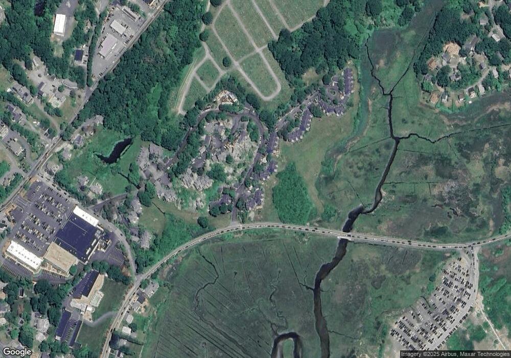
Map
Nearby Homes
- 8 Barn Ln
- 26 Marina Dr
- 29 Harrison Ave
- 10 Amero Ct
- 20 Haskell St
- 9 Rocky Pasture Rd
- 86 E Main St
- 97 E Main St
- 100 E Main St
- 20 Calder St
- 22 Taylor St Unit 1
- 30 Chapel St Unit B
- 160 Prospect St Unit 3
- 4 Mount Vernon St
- 197 E Main St
- 197 E Main St Unit 1
- 197 E Main St Unit 2
- 197 E Main St Unit 1 & 2
- 36 Links Rd
- 40 Sargent St
- 24 Old Nugent Farm Rd
- 23 Old Nugent Farm Rd
- 47 Old Nugent Farm Rd
- 46 Old Nugent Farm Rd
- 45 Old Nugent Farm Rd
- 44 Old Nugent Farm Rd
- 47 Old Nugent Farm Rd Unit 47
- 22 Old Nugent Farm Rd
- 21 Old Nugent Farm Rd
- 20 Old Nugent Farm Rd
- 19 Old Nugent Farm Rd
- 21 Old Nugent Farm Rd Unit 21
- 20 Old Nugent Farm Rd Unit 20
- 27 Old Nugent Farm Rd
- 26 Old Nugent Farm Rd
- 51 Old Nugent Farm Rd
- 50 Old Nugent Farm Rd
- 49 Old Nugent Farm Rd
- 48 Old Nugent Farm Rd
- 55 Old Nugent Farm Rd