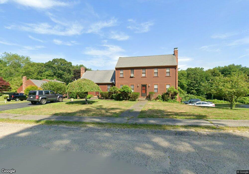
25 Packet Landing Unit B Pembroke, MA 02359
Estimated Value: $387,767 - $520,000
--
Bed
2
Baths
715
Sq Ft
$619/Sq Ft
Est. Value
About This Home
This home is located at 25 Packet Landing Unit B, Pembroke, MA 02359 and is currently estimated at $442,692, approximately $619 per square foot. 25 Packet Landing Unit B is a home located in Plymouth County with nearby schools including Pembroke High School, Cadence Academy Preschool - Hanover, and Cardinal Cushing Centers.
Ownership History
Date
Name
Owned For
Owner Type
Purchase Details
Closed on
Nov 8, 2013
Sold by
Wier Ronnie L
Bought by
Ronnie L Wier Irt and Wier Ronnie L
Current Estimated Value
Purchase Details
Closed on
Nov 5, 1999
Sold by
Damery Patricia A
Bought by
Wier Ronnie L
Home Financials for this Owner
Home Financials are based on the most recent Mortgage that was taken out on this home.
Original Mortgage
$50,000
Interest Rate
7.73%
Mortgage Type
Purchase Money Mortgage
Purchase Details
Closed on
Apr 28, 1995
Sold by
Guyette Patricia C and Todd Guyette R
Bought by
Damery Patricia A
Home Financials for this Owner
Home Financials are based on the most recent Mortgage that was taken out on this home.
Original Mortgage
$75,000
Interest Rate
8.33%
Mortgage Type
Purchase Money Mortgage
Create a Home Valuation Report for This Property
The Home Valuation Report is an in-depth analysis detailing your home's value as well as a comparison with similar homes in the area
Home Values in the Area
Average Home Value in this Area
Purchase History
| Date | Buyer | Sale Price | Title Company |
|---|---|---|---|
| Ronnie L Wier Irt | -- | -- | |
| Wier Ronnie L | $135,000 | -- | |
| Damery Patricia A | $105,000 | -- |
Source: Public Records
Mortgage History
| Date | Status | Borrower | Loan Amount |
|---|---|---|---|
| Previous Owner | Damery Patricia A | $37,000 | |
| Previous Owner | Damery Patricia A | $50,000 | |
| Previous Owner | Damery Patricia A | $75,000 |
Source: Public Records
Tax History Compared to Growth
Tax History
| Year | Tax Paid | Tax Assessment Tax Assessment Total Assessment is a certain percentage of the fair market value that is determined by local assessors to be the total taxable value of land and additions on the property. | Land | Improvement |
|---|---|---|---|---|
| 2025 | $4,120 | $342,800 | $0 | $342,800 |
| 2024 | $3,953 | $328,600 | $0 | $328,600 |
| 2023 | $3,957 | $311,100 | $0 | $311,100 |
| 2022 | $3,778 | $267,000 | $0 | $267,000 |
| 2021 | $3,479 | $238,600 | $0 | $238,600 |
| 2020 | $3,941 | $272,000 | $0 | $272,000 |
| 2019 | $3,748 | $256,700 | $0 | $256,700 |
| 2018 | $3,441 | $231,100 | $0 | $231,100 |
| 2017 | $3,385 | $224,200 | $0 | $224,200 |
| 2016 | $2,951 | $193,400 | $0 | $193,400 |
| 2015 | $2,871 | $194,800 | $0 | $194,800 |
Source: Public Records
Map
Nearby Homes
- 218 Schoosett St
- 21 Union St
- 21 Chowdermarch St
- 5 Royal Dane Dr Unit 46
- 5 Royal Dane Dr Unit 45
- 10 Penstock Ln
- 55 Shipyard Ln
- 451 School St Unit 5-2
- 451 School St Unit 3-4
- 172 Washington St
- 261 Washington St
- 34 Canonchet Trail
- 20 Meadow Brook Rd
- 10 Shrine Rd
- 26 Church St
- 56 Wiltshire Ln
- 33 Barker Square Dr Unit 33
- 899 Old Main Street Extension
- 330 Pleasant St
- 2 Proprietors Dr Unit 23
- 25A Packet Landing Unit 25A
- 25 Packet Landing Unit A
- 25 Packet Landing Unit 25B
- 25A Packet Landing
- 25A Packet Landing Unit A
- 31 Packet Landing Unit B
- 31 Packet Landing Unit A
- 31 Packet Landing Unit 31A
- 19 Packet Landing Unit B
- 19 Packet Landing Unit A
- 19 Packet Landing
- 19 Packet Landing Unit 19A
- 28 Packet Landing Unit B
- 28 Packet Landing Unit A
- 28 Packet Landing Unit 8-B
- 22 Packet Landing Unit B
- 22 Packet Landing Unit A
- 22 Packet Landing Unit 6
- 22 Packet Landing Unit 22B
- 22 Packet Landing Unit 22A