25 Pheasant Run Ct Wrentham, MA 02093
Estimated Value: $425,000 - $462,926
3
Beds
3
Baths
1,730
Sq Ft
$256/Sq Ft
Est. Value
About This Home
This home is located at 25 Pheasant Run Ct, Wrentham, MA 02093 and is currently estimated at $443,482, approximately $256 per square foot. 25 Pheasant Run Ct is a home with nearby schools including Delaney Elementary School and Charles E Roderick.
Ownership History
Date
Name
Owned For
Owner Type
Purchase Details
Closed on
Nov 3, 2017
Sold by
Eaglebrook Development
Bought by
Fisher Nolan and Fisher Claire
Current Estimated Value
Home Financials for this Owner
Home Financials are based on the most recent Mortgage that was taken out on this home.
Original Mortgage
$211,100
Outstanding Balance
$176,798
Interest Rate
3.83%
Mortgage Type
New Conventional
Estimated Equity
$266,684
Create a Home Valuation Report for This Property
The Home Valuation Report is an in-depth analysis detailing your home's value as well as a comparison with similar homes in the area
Home Values in the Area
Average Home Value in this Area
Purchase History
| Date | Buyer | Sale Price | Title Company |
|---|---|---|---|
| Fisher Nolan | $217,700 | -- |
Source: Public Records
Mortgage History
| Date | Status | Borrower | Loan Amount |
|---|---|---|---|
| Open | Fisher Nolan | $211,100 |
Source: Public Records
Tax History Compared to Growth
Tax History
| Year | Tax Paid | Tax Assessment Tax Assessment Total Assessment is a certain percentage of the fair market value that is determined by local assessors to be the total taxable value of land and additions on the property. | Land | Improvement |
|---|---|---|---|---|
| 2025 | $2,950 | $254,531 | $228,700 | $25,831 |
| 2024 | $2,612 | $0 | $0 | $0 |
| 2023 | $2,747 | $217,700 | $207,900 | $9,800 |
| 2022 | $2,976 | $217,700 | $202,200 | $15,500 |
| 2021 | $3,063 | $217,700 | $189,000 | $28,700 |
| 2020 | $3,102 | $217,700 | $144,300 | $73,400 |
| 2019 | $3,074 | $217,700 | $144,300 | $73,400 |
| 2018 | $921 | $64,700 | $64,700 | $0 |
| 2017 | $452 | $31,700 | $31,700 | $0 |
| 2016 | $440 | $30,800 | $30,800 | $0 |
| 2015 | $493 | $32,900 | $32,900 | $0 |
| 2014 | $485 | $31,700 | $31,700 | $0 |
Source: Public Records
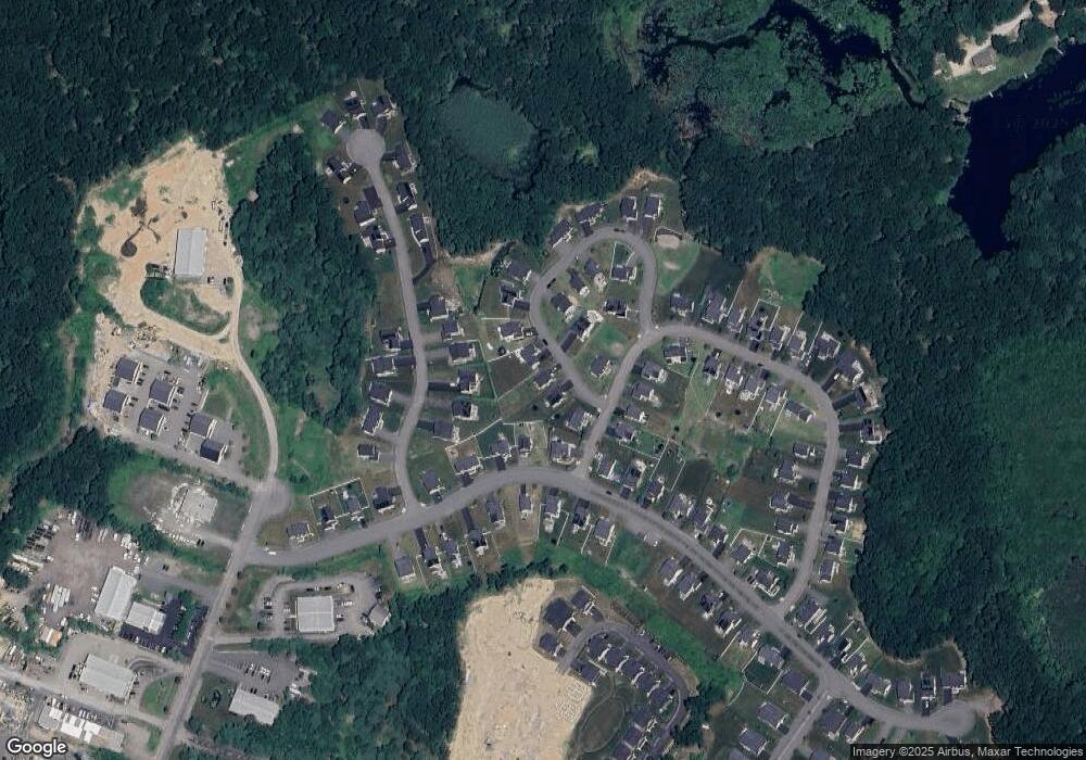
Map
Nearby Homes
- 50 Reed Fulton Ave Unit Lot 61
- 570 Franklin St
- 11 Elliot Mills Unit 11
- 45 Joshua Rd
- 12 Waites Crossing Way
- 11 Waites Crossing
- 20 Waites Crossing
- 19 Waites Crossing
- 9 Waites Crossing
- 13 Waites Crossing
- 131 Creek St Unit 7
- 246 Forest Grove Ave
- 14 Essex St
- 1 Uncas Ave
- 64 Uncas Ave
- 70 Uncas Ave
- 45 King St
- Lot 3 - 14 Earle Stewart Ln
- 67 Milliken Ave Unit 22
- 11 Earle Stewart Ln
- 15 Pheasant Run Ct Unit 53
- 35 Pheasant Run Ct
- 0 Pheasant Run Ct Unit 64
- 45 Pheasant Run Ct
- 150 Black Birch Dr
- 174 Red Fox Run
- 40 Killdeer Dr Unit 153
- 160 Black Birch Dr
- 20 Pheasant Run Ct
- 180 Red Fox Run
- 30 Killdeer Dr Unit 154
- 172 Red Fox Run
- 30 Pheasant Run Ct Unit 65
- 50 Killdeer Dr Unit 152
- 170 Black Birch Dr
- 60 Killdeer Dr
- 20 Killdeer Dr
- 55 Pheasant Run Ct
- 155 Red Fox Run
- 165 Red Fox Run