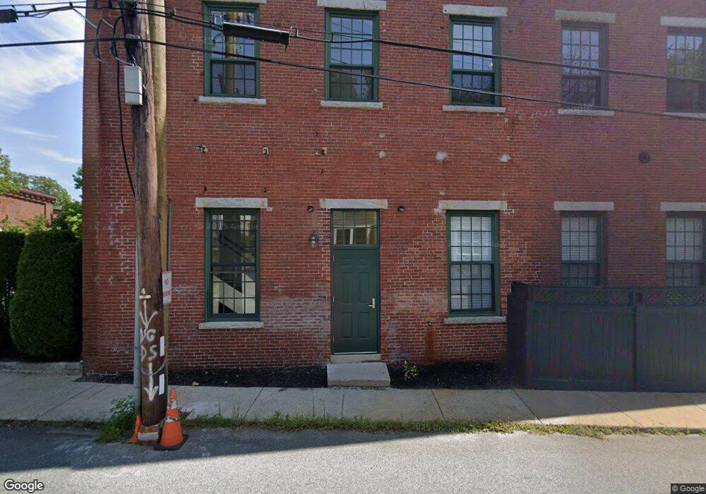
25 Pond St Unit 102 Amesbury, MA 01913
Estimated Value: $417,731 - $474,000
1
Bed
1
Bath
1,080
Sq Ft
$412/Sq Ft
Est. Value
About This Home
This home is located at 25 Pond St Unit 102, Amesbury, MA 01913 and is currently estimated at $444,433, approximately $411 per square foot. 25 Pond St Unit 102 is a home located in Essex County with nearby schools including Amesbury High School and Amesbury Seventh-Day Adventist School.
Ownership History
Date
Name
Owned For
Owner Type
Purchase Details
Closed on
Oct 15, 2004
Sold by
Carriage Lofts Llc
Bought by
Honig Ephraim S
Current Estimated Value
Home Financials for this Owner
Home Financials are based on the most recent Mortgage that was taken out on this home.
Original Mortgage
$227,250
Outstanding Balance
$112,772
Interest Rate
5.8%
Mortgage Type
Purchase Money Mortgage
Estimated Equity
$331,661
Create a Home Valuation Report for This Property
The Home Valuation Report is an in-depth analysis detailing your home's value as well as a comparison with similar homes in the area
Home Values in the Area
Average Home Value in this Area
Purchase History
| Date | Buyer | Sale Price | Title Company |
|---|---|---|---|
| Honig Ephraim S | $252,500 | -- |
Source: Public Records
Mortgage History
| Date | Status | Borrower | Loan Amount |
|---|---|---|---|
| Open | Honig Ephraim S | $227,250 |
Source: Public Records
Tax History Compared to Growth
Tax History
| Year | Tax Paid | Tax Assessment Tax Assessment Total Assessment is a certain percentage of the fair market value that is determined by local assessors to be the total taxable value of land and additions on the property. | Land | Improvement |
|---|---|---|---|---|
| 2025 | $5,894 | $385,200 | $0 | $385,200 |
| 2024 | $6,095 | $389,700 | $0 | $389,700 |
| 2023 | $4,954 | $303,200 | $0 | $303,200 |
| 2022 | $4,849 | $274,100 | $0 | $274,100 |
| 2021 | $4,550 | $249,300 | $0 | $249,300 |
| 2020 | $4,283 | $249,300 | $0 | $249,300 |
| 2019 | $3,981 | $216,700 | $0 | $216,700 |
| 2018 | $3,779 | $199,000 | $0 | $199,000 |
| 2017 | $3,693 | $185,100 | $0 | $185,100 |
| 2016 | $3,541 | $174,600 | $0 | $174,600 |
| 2015 | $3,504 | $170,600 | $0 | $170,600 |
| 2014 | $2,986 | $142,400 | $0 | $142,400 |
Source: Public Records
Map
Nearby Homes
- 37 Millyard Unit 204
- 81 High St Unit 27
- 53 Market St
- 24 Aubin St Unit 2
- 4 Lincoln Ct
- 19 Perkins St
- 43 Aubin St Unit 1
- 13 Lincoln Ct
- 17 Lincoln Ct
- 5 Richs Ct Unit 3
- 48 Orchard St
- 15 Sparhawk St Unit 3
- 97 Elm St
- 25 Cedar St Unit 4
- 25 Cedar St Unit 7
- 101 Market St Unit B
- 101 Market St Unit A
- 103 Market St Unit A
- 103 Market St Unit B
- 129 Friend St
- 25 Pond St Unit 205
- 25 Pond St Unit 210
- 25 Pond St Unit 209
- 25 Pond St Unit 208
- 25 Pond St Unit 207
- 25 Pond St Unit 206
- 25 Pond St Unit 204
- 25 Pond St Unit 203
- 25 Pond St Unit 201
- 25 Pond St Unit 106
- 25 Pond St Unit 105
- 25 Pond St Unit 104
- 25 Pond St Unit 103
- 25 Pond St Unit 101
- 25 Pond St Unit 1-104
- 25 Pond St Unit 1-105
- 25 Pond St Unit 209 - 1
- 25 Pond St Unit 1-204 Bldg
- 25 Pond St Unit 106- 1
- 25 Pond St Unit 101 - 1