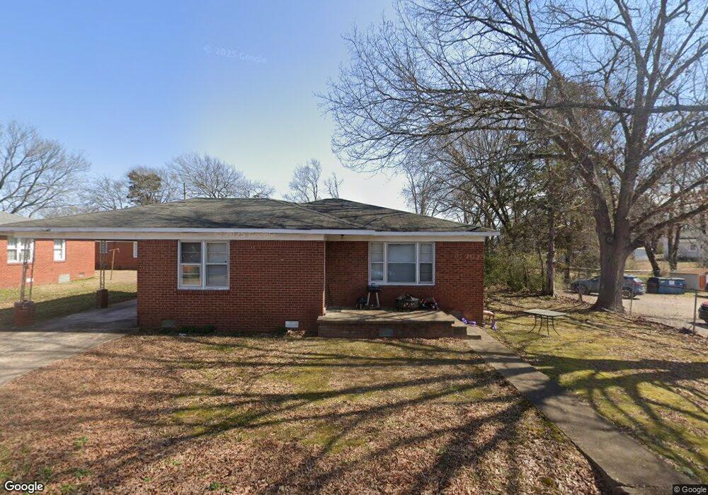
25 Ralph Place Savannah, TN 38372
Estimated Value: $100,000 - $136,000
--
Bed
1
Bath
1,245
Sq Ft
$92/Sq Ft
Est. Value
About This Home
This home is located at 25 Ralph Place, Savannah, TN 38372 and is currently estimated at $114,883, approximately $92 per square foot. 25 Ralph Place is a home located in Hardin County with nearby schools including Hardin County High School, Hardin County Christian School, and Savannah Christian Academy.
Ownership History
Date
Name
Owned For
Owner Type
Purchase Details
Closed on
May 18, 2001
Sold by
Elam Billy and Elam Dorothy
Bought by
Hardin Thomas G
Current Estimated Value
Home Financials for this Owner
Home Financials are based on the most recent Mortgage that was taken out on this home.
Original Mortgage
$34,401
Interest Rate
7.11%
Purchase Details
Closed on
Feb 16, 2000
Sold by
Pierce Lois Ann Barker
Bought by
Elam Billy and Elam Dorothy
Purchase Details
Closed on
Jul 1, 1974
Bought by
Barker Lois Ann
Create a Home Valuation Report for This Property
The Home Valuation Report is an in-depth analysis detailing your home's value as well as a comparison with similar homes in the area
Home Values in the Area
Average Home Value in this Area
Purchase History
| Date | Buyer | Sale Price | Title Company |
|---|---|---|---|
| Hardin Thomas G | $32,500 | -- | |
| Elam Billy | $23,100 | -- | |
| Barker Lois Ann | -- | -- |
Source: Public Records
Mortgage History
| Date | Status | Borrower | Loan Amount |
|---|---|---|---|
| Closed | Barker Lois Ann | $34,401 |
Source: Public Records
Tax History Compared to Growth
Tax History
| Year | Tax Paid | Tax Assessment Tax Assessment Total Assessment is a certain percentage of the fair market value that is determined by local assessors to be the total taxable value of land and additions on the property. | Land | Improvement |
|---|---|---|---|---|
| 2024 | $356 | $14,525 | $1,000 | $13,525 |
| 2023 | $356 | $14,525 | $1,000 | $13,525 |
| 2022 | $291 | $10,550 | $850 | $9,700 |
| 2021 | $291 | $10,550 | $850 | $9,700 |
| 2020 | $291 | $10,550 | $850 | $9,700 |
| 2019 | $291 | $10,550 | $850 | $9,700 |
| 2018 | $284 | $10,550 | $850 | $9,700 |
| 2017 | $265 | $9,500 | $900 | $8,600 |
| 2016 | $265 | $9,500 | $900 | $8,600 |
| 2015 | $239 | $9,500 | $900 | $8,600 |
| 2014 | $239 | $9,500 | $900 | $8,600 |
Source: Public Records
Map
Nearby Homes
- 171 White St
- 230 White St
- 10 Deberry St
- 417 Tennessee St
- 375 Tennessee St
- 45 Oak St
- 13305 U S Highway 64
- 105 Pinhook Dr
- 00 Enoch Blvd
- 165 College St
- 50 Melrose Cove
- 0 Hwy 128 Hwy Unit LotWP001 22873478
- 0 Hwy 128 Hwy Unit RTC2801964
- 0 Hwy 128 Hwy Unit 10143254
- 0 Church St Unit 10189215
- 65 Davis St
- 300 Patterson Rd
- 530 Main St E
- 330 Patterson Rd
- 140 Shaw Ln
- 50 Robertson St
- 90 Robertson St
- 20 Ralph Place
- 60 Robertson St
- 20 Robertson St
- 35 Robertson St
- 55 Robertson St
- 10 Robertson St
- 80 Cravens Dr
- 70 Cravens Dr
- 25 Robertson St
- 30 White St
- 145 Cumberland St
- 135 Cumberland St
- 15 Robertson St
- 165 Cumberland St
- 10 White St
- 405 Wayne Rd
- 425 Wayne Rd
- 175 Cumberland St