25 Reids Ln Prince Frederick, MD 20678
Estimated Value: $494,827 - $608,000
--
Bed
2
Baths
1,886
Sq Ft
$298/Sq Ft
Est. Value
About This Home
This home is located at 25 Reids Ln, Prince Frederick, MD 20678 and is currently estimated at $562,957, approximately $298 per square foot. 25 Reids Ln is a home located in Calvert County with nearby schools including Barstow Elementary School, Calvert Middle School, and Calvert High School.
Ownership History
Date
Name
Owned For
Owner Type
Purchase Details
Closed on
Jun 9, 2015
Sold by
Hall Frank and Breithapt Carol A
Bought by
Hall Frank and Hall Carol A
Current Estimated Value
Home Financials for this Owner
Home Financials are based on the most recent Mortgage that was taken out on this home.
Original Mortgage
$182,300
Outstanding Balance
$69,399
Interest Rate
3.84%
Mortgage Type
New Conventional
Estimated Equity
$493,558
Purchase Details
Closed on
Apr 4, 2003
Sold by
Hutchins Raymond E Charles R
Bought by
Hall Frank Carol A Breithapt
Create a Home Valuation Report for This Property
The Home Valuation Report is an in-depth analysis detailing your home's value as well as a comparison with similar homes in the area
Home Values in the Area
Average Home Value in this Area
Purchase History
| Date | Buyer | Sale Price | Title Company |
|---|---|---|---|
| Hall Frank | -- | None Available | |
| Hall Frank Carol A Breithapt | $62,500 | -- |
Source: Public Records
Mortgage History
| Date | Status | Borrower | Loan Amount |
|---|---|---|---|
| Open | Hall Frank | $182,300 | |
| Closed | Hall Frank Carol A Breithapt | -- |
Source: Public Records
Tax History Compared to Growth
Tax History
| Year | Tax Paid | Tax Assessment Tax Assessment Total Assessment is a certain percentage of the fair market value that is determined by local assessors to be the total taxable value of land and additions on the property. | Land | Improvement |
|---|---|---|---|---|
| 2025 | $5,169 | $458,467 | $0 | $0 |
| 2024 | $4,928 | $436,600 | $170,000 | $266,600 |
| 2023 | $4,545 | $416,833 | $0 | $0 |
| 2022 | $4,337 | $397,067 | $0 | $0 |
| 2021 | $4,056 | $377,300 | $170,000 | $207,300 |
| 2020 | $4,056 | $368,900 | $0 | $0 |
| 2019 | $3,984 | $360,500 | $0 | $0 |
| 2018 | $3,883 | $352,100 | $170,000 | $182,100 |
| 2017 | $3,881 | $347,233 | $0 | $0 |
| 2016 | -- | $342,367 | $0 | $0 |
| 2015 | $1,494 | $337,500 | $0 | $0 |
| 2014 | $1,494 | $337,500 | $0 | $0 |
Source: Public Records
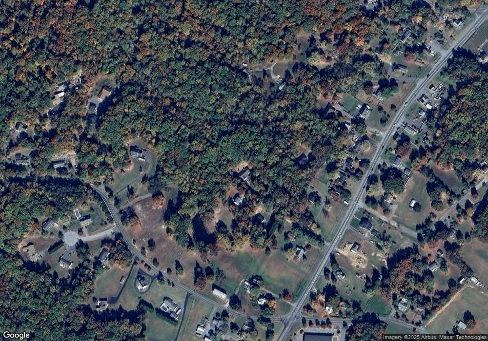
Map
Nearby Homes
- 2590 Hallowing Point Rd
- 285 Stafford Rd Stafford Rd
- 145 Stafford Rd
- 85 Mason Rd
- 380 Mason Rd
- 240 Mason Rd
- 49 Thoroughbred Dr
- 125 Polo Way
- 365 Equestrian Way
- 360 Whirlaway Dr
- 447 Dark Star Way
- The Benedict A Plan at Patuxent Commons
- The Benedict B2 Plan at Patuxent Commons
- The Benedict C Plan at Patuxent Commons
- 362 Cambridge Place
- 379 Cambridge Place
- 185 Radio Dr
- 103 Westlake Blvd
- 84 Potomac Ct
- 667 Hawk Hill Dr
- 30 Reids Ln
- 20 Reids Ln
- 2685 Hallowing Point Rd
- 55 Barstow Rd
- 15 Reids Ln
- 2715 Hallowing Point Rd
- 2905 Hallowing Point Rd
- 2725 Hallowing Point Rd
- 203 Barstow Rd
- 2707 Hallowing Point Rd
- 2675 Hallowing Point Rd
- 195 Barstow Rd
- 2695 Hallowing Point Rd
- 2925 Hallowing Point Rd
- 2655 Hallowing Point Rd
- 50 Stafford Rd
- 2880 Hallowing Point Rd
- 2990 Hallowing Point Rd
- 215 Sugar Notch Ln
- 50 Hidden Spring Trail