25 Robins Nest Ln Pottstown, PA 19465
Estimated Value: $740,797 - $810,000
4
Beds
3
Baths
3,619
Sq Ft
$214/Sq Ft
Est. Value
About This Home
This home is located at 25 Robins Nest Ln, Pottstown, PA 19465 and is currently estimated at $776,199, approximately $214 per square foot. 25 Robins Nest Ln is a home located in Chester County with nearby schools including East Coventry Elementary School, Owen J Roberts Middle School, and Owen J Roberts High School.
Ownership History
Date
Name
Owned For
Owner Type
Purchase Details
Closed on
May 7, 2009
Sold by
Nvr Inc
Bought by
Walker Kelly A and Walker James T
Current Estimated Value
Home Financials for this Owner
Home Financials are based on the most recent Mortgage that was taken out on this home.
Original Mortgage
$260,000
Outstanding Balance
$164,716
Interest Rate
4.9%
Mortgage Type
Purchase Money Mortgage
Estimated Equity
$611,483
Purchase Details
Closed on
Feb 9, 2009
Sold by
Heritage Creekview Lp
Bought by
Nvr Inc and Ryan Homes
Create a Home Valuation Report for This Property
The Home Valuation Report is an in-depth analysis detailing your home's value as well as a comparison with similar homes in the area
Home Values in the Area
Average Home Value in this Area
Purchase History
| Date | Buyer | Sale Price | Title Company |
|---|---|---|---|
| Walker Kelly A | $437,175 | None Available | |
| Nvr Inc | $104,250 | None Available |
Source: Public Records
Mortgage History
| Date | Status | Borrower | Loan Amount |
|---|---|---|---|
| Open | Walker Kelly A | $260,000 |
Source: Public Records
Tax History Compared to Growth
Tax History
| Year | Tax Paid | Tax Assessment Tax Assessment Total Assessment is a certain percentage of the fair market value that is determined by local assessors to be the total taxable value of land and additions on the property. | Land | Improvement |
|---|---|---|---|---|
| 2025 | $9,568 | $227,400 | $58,020 | $169,380 |
| 2024 | $9,568 | $227,400 | $58,020 | $169,380 |
| 2023 | $9,433 | $227,400 | $58,020 | $169,380 |
| 2022 | $9,283 | $227,400 | $58,020 | $169,380 |
| 2021 | $9,173 | $227,400 | $58,020 | $169,380 |
| 2020 | $8,942 | $227,400 | $58,020 | $169,380 |
| 2019 | $8,779 | $227,400 | $58,020 | $169,380 |
| 2018 | $8,612 | $227,400 | $58,020 | $169,380 |
| 2017 | $8,414 | $227,400 | $58,020 | $169,380 |
| 2016 | $6,800 | $227,400 | $58,020 | $169,380 |
| 2015 | $6,800 | $227,400 | $58,020 | $169,380 |
| 2014 | $6,800 | $227,400 | $58,020 | $169,380 |
Source: Public Records
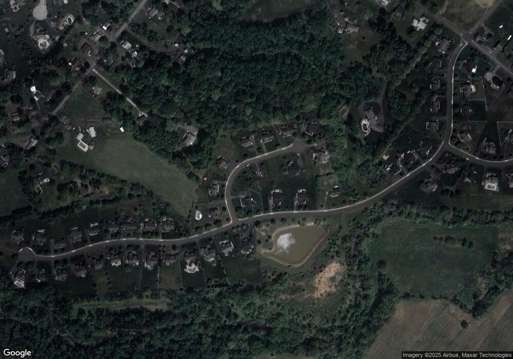
Map
Nearby Homes
- 10 Ashwood Dr
- 3 Brower Ln
- 537 Schoolhouse Rd
- 5 N Savanna Dr
- 25 Hastings Ln
- 28 Wil-Be Dr
- 287 Kulp Rd
- 723 Saylors Mill Rd
- 26 Kolb Rd
- 120 Alackness Rd
- 1025 Darby Ct
- 354 Calloway Ct
- 1112 W Bridge St
- 107 Beacon Ct Unit 10104
- 891 Brown Dr
- 1111 Riverside Dr
- 1079 Riverside Dr
- 780 E Cedarville Rd
- 1027 Riverside Dr
- 108 Sunrise Dr
- 11 Robins Nest Ln
- 1156 S Sanatoga Rd
- 37 Robins Nest Ln
- 28 Robins Nest Ln
- 20 Robins Nest Ln
- 34 Robins Nest Ln
- 14 Robins Nest Ln
- 1148 S Sanatoga Rd
- 8 Robins Nest Ln
- 1151 S Sanatoga Rd
- 45 Robins Nest Ln
- 1157 S Sanatoga Rd
- 1144 S Sanatoga Rd
- 1161 S Sanatoga Rd
- 120 Buckwalter Rd
- 1172 S Sanatoga Rd
- 1180 S Sanatoga Rd
- 1173 S Sanatoga Rd
- 2600 E Cedarville Rd
- 1188 S Sanatoga Rd