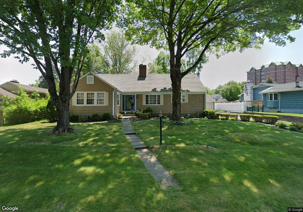
25 Saxton Dr Bridgeport, CT 06604
North End NeighborhoodEstimated Value: $554,000 - $769,000
5
Beds
4
Baths
3,088
Sq Ft
$199/Sq Ft
Est. Value
About This Home
This home is located at 25 Saxton Dr, Bridgeport, CT 06604 and is currently estimated at $614,552, approximately $199 per square foot. 25 Saxton Dr is a home located in Fairfield County with nearby schools including John Winthrop School, Central High School, and St Andrew School.
Ownership History
Date
Name
Owned For
Owner Type
Purchase Details
Closed on
Feb 18, 2022
Sold by
Oneill Cornelia
Bought by
Cornelia Oneill T
Current Estimated Value
Purchase Details
Closed on
Jul 23, 2015
Sold by
Oneill Eugene
Bought by
Oneill Cornelia
Create a Home Valuation Report for This Property
The Home Valuation Report is an in-depth analysis detailing your home's value as well as a comparison with similar homes in the area
Home Values in the Area
Average Home Value in this Area
Purchase History
| Date | Buyer | Sale Price | Title Company |
|---|---|---|---|
| Cornelia Oneill T | -- | None Available | |
| Cornelia Oneill T | -- | None Available | |
| Oneill Cornelia | -- | -- | |
| Oneill Cornelia | -- | -- |
Source: Public Records
Mortgage History
| Date | Status | Borrower | Loan Amount |
|---|---|---|---|
| Previous Owner | Oneill Cornelia | $75,000 |
Source: Public Records
Tax History Compared to Growth
Tax History
| Year | Tax Paid | Tax Assessment Tax Assessment Total Assessment is a certain percentage of the fair market value that is determined by local assessors to be the total taxable value of land and additions on the property. | Land | Improvement |
|---|---|---|---|---|
| 2025 | $9,634 | $221,720 | $90,380 | $131,340 |
| 2024 | $9,634 | $221,720 | $90,380 | $131,340 |
| 2023 | $9,634 | $221,720 | $90,380 | $131,340 |
| 2022 | $9,634 | $221,720 | $90,380 | $131,340 |
| 2021 | $9,634 | $221,720 | $90,380 | $131,340 |
| 2020 | $9,829 | $182,060 | $70,840 | $111,220 |
| 2019 | $9,829 | $182,060 | $70,840 | $111,220 |
| 2018 | $9,899 | $182,060 | $70,840 | $111,220 |
| 2017 | $9,899 | $182,060 | $70,840 | $111,220 |
| 2016 | $9,899 | $182,060 | $70,840 | $111,220 |
| 2015 | $9,489 | $224,860 | $69,600 | $155,260 |
| 2014 | $9,489 | $224,860 | $69,600 | $155,260 |
Source: Public Records
Map
Nearby Homes
- 81 Lance Cir
- 153 Seaver Cir
- 44 Lance Cir Unit 44
- 65 Dobson St
- 64 Dobson St
- 66 Loftus Cir
- 42 Wendy Rd
- 26 Wendy Rd
- 178 Autumn Ridge Rd
- 236 Edgemoor Rd Unit D
- 9 Patricia Rd Unit C
- 2955 Madison Ave Unit 40
- 2998 Madison Ave Unit C
- 76 Hilary Cir Unit 76
- 15 Cherry Hill Dr Unit 2A
- 230 Cherry Hill Dr Unit 2B
- 2851 Old Town Rd
- 50 Greenhouse Rd Unit 65D
- 50 Greenhouse Rd Unit 42C
- 2800 Madison Ave Unit 1B