25 Shore Ln Unit 7 Dover, NH 03820
Dover Point NeighborhoodEstimated Value: $1,089,000 - $1,176,000
3
Beds
3
Baths
2,829
Sq Ft
$400/Sq Ft
Est. Value
About This Home
This home is located at 25 Shore Ln Unit 7, Dover, NH 03820 and is currently estimated at $1,132,914, approximately $400 per square foot. 25 Shore Ln Unit 7 is a home located in Strafford County with nearby schools including Garrison School, Dover Middle School, and Dover Senior High School.
Ownership History
Date
Name
Owned For
Owner Type
Purchase Details
Closed on
Apr 9, 2021
Sold by
Smart Richard B and Smart Susan A
Bought by
R & Susan A Smart Ret
Current Estimated Value
Purchase Details
Closed on
Jun 26, 2014
Sold by
Dover Point Props
Bought by
Smart Richard B and Smart Susan A
Purchase Details
Closed on
Apr 25, 2013
Sold by
Dover Point Props
Bought by
Pottier Michael J and Pottier Erin J
Create a Home Valuation Report for This Property
The Home Valuation Report is an in-depth analysis detailing your home's value as well as a comparison with similar homes in the area
Home Values in the Area
Average Home Value in this Area
Purchase History
| Date | Buyer | Sale Price | Title Company |
|---|---|---|---|
| R & Susan A Smart Ret | -- | None Available | |
| Smart | -- | None Available | |
| Smart Richard B | $671,700 | -- | |
| Smart Richard B | $671,700 | -- | |
| Pottier Michael J | $517,000 | -- | |
| Pottier Michael J | $517,000 | -- |
Source: Public Records
Mortgage History
| Date | Status | Borrower | Loan Amount |
|---|---|---|---|
| Closed | Pottier Michael J | $0 |
Source: Public Records
Tax History Compared to Growth
Tax History
| Year | Tax Paid | Tax Assessment Tax Assessment Total Assessment is a certain percentage of the fair market value that is determined by local assessors to be the total taxable value of land and additions on the property. | Land | Improvement |
|---|---|---|---|---|
| 2024 | $19,220 | $1,057,800 | $301,800 | $756,000 |
| 2023 | $17,299 | $925,100 | $254,500 | $670,600 |
| 2022 | $16,529 | $833,100 | $228,500 | $604,600 |
| 2021 | $16,867 | $777,300 | $245,800 | $531,500 |
| 2020 | $16,406 | $660,200 | $219,800 | $440,400 |
| 2019 | $16,625 | $660,000 | $228,500 | $431,500 |
| 2018 | $16,148 | $648,000 | $219,800 | $428,200 |
| 2017 | $15,548 | $601,000 | $185,200 | $415,800 |
| 2016 | $15,072 | $573,300 | $195,000 | $378,300 |
| 2015 | $14,777 | $555,300 | $186,100 | $369,200 |
| 2014 | $9,535 | $366,600 | $178,600 | $188,000 |
| 2011 | $324 | $12,900 | $12,900 | $0 |
Source: Public Records
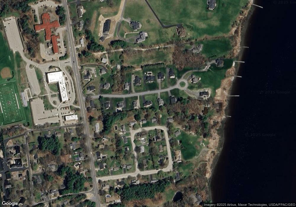
Map
Nearby Homes
- 25 Shore Ln
- 4 Shore Ln
- 25 Fosters Dr
- 708 River Rd Unit 3
- 708 River Rd Unit 2
- Slip B18 Little Bay
- 130 Dover Point Rd
- 126 Dover Point Rd
- 101 Dover Point Rd
- 93 Old Dover Point Rd Unit A
- 82 Stacy Ln
- 59 Clearwater Dr
- 1708 State Rd
- 18 Governor Hill Rd
- 19 Lenox Dr Unit A
- 0 Cote Dr
- 76 Courtney Ln
- 7 Hemlock Cir
- Lot 2 Cedar Tbd
- 4 Freedom Dr
- 25 Shore Ln
- 19 Shore Ln
- 29 Shore Ln
- 29 Shore Ln
- 23 Riverside Dr
- 2 Shore Ln
- 21 Riverside Dr
- 8 Shore Ln
- 19 Riverside Dr
- 20 Shore Ln
- 26 Shore Ln
- 15 Shore Ln
- 35 Shore Ln Unit Lot 11
- 35 Shore Ln
- 35 Shore Ln
- Lot 11 -35 Shore Lane Breezy Hill Landing
- 30 Shore Ln Unit Lot 8
- 30 Shore Ln
- 16 Shore Ln
- 12 Riverside Dr