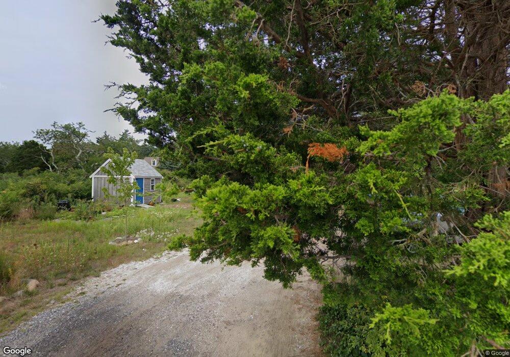
25 Sims Way Eastham, MA 2642
Estimated Value: $183,000 - $531,000
Studio
--
Bath
--
Sq Ft
20,299
Sq Ft
About This Home
This home is located at 25 Sims Way, Eastham, MA 2642 and is currently estimated at $357,000. 25 Sims Way is a home located in Barnstable County with nearby schools including Eastham Elementary School, Nauset Regional Middle School, and Nauset Regional High School.
Ownership History
Date
Name
Owned For
Owner Type
Purchase Details
Closed on
Jul 8, 2014
Sold by
Letendre Robert P and Letendre Ann C
Bought by
Ann&Robert Letendre Nt and Letendre Robert P
Current Estimated Value
Purchase Details
Closed on
Oct 31, 1997
Sold by
Bullard William L
Bought by
Letendre Robert P and Letendre Ann C
Home Financials for this Owner
Home Financials are based on the most recent Mortgage that was taken out on this home.
Original Mortgage
$300,000
Interest Rate
7.31%
Mortgage Type
Purchase Money Mortgage
Create a Home Valuation Report for This Property
The Home Valuation Report is an in-depth analysis detailing your home's value as well as a comparison with similar homes in the area
Home Values in the Area
Average Home Value in this Area
Purchase History
| Date | Buyer | Sale Price | Title Company |
|---|---|---|---|
| Ann&Robert Letendre Nt | -- | -- | |
| Letendre Robert P | $167,000 | -- |
Source: Public Records
Mortgage History
| Date | Status | Borrower | Loan Amount |
|---|---|---|---|
| Previous Owner | Letendre Robert P | $300,000 |
Source: Public Records
Tax History
| Year | Tax Paid | Tax Assessment Tax Assessment Total Assessment is a certain percentage of the fair market value that is determined by local assessors to be the total taxable value of land and additions on the property. | Land | Improvement |
|---|---|---|---|---|
| 2025 | $903 | $117,100 | $117,100 | $0 |
| 2024 | $665 | $94,800 | $94,800 | $0 |
| 2023 | $636 | $87,800 | $87,800 | $0 |
| 2022 | $673 | $78,400 | $78,400 | $0 |
| 2021 | $654 | $71,200 | $71,200 | $0 |
| 2020 | $793 | $90,900 | $90,900 | $0 |
| 2019 | $728 | $88,200 | $88,200 | $0 |
| 2018 | $716 | $85,700 | $85,700 | $0 |
| 2017 | $664 | $84,000 | $84,000 | $0 |
| 2016 | $866 | $116,400 | $116,400 | $0 |
| 2015 | $810 | $114,100 | $114,100 | $0 |
Source: Public Records
Map
Nearby Homes
- 339 Dyer Prince Rd
- 40 Bayview Rd
- 6 Penny Ln
- 181 Rock Harbor Rd
- 188 Rock Harbor Rd
- 6 Defiance Ln
- 32 Locust Rd
- 2 Reilly Run
- 3 Reilly Run
- 20 Namskaket Rd
- 10 Cartway N
- 17 Kings Way
- 9 Honeysuckle Ln
- 12 Phoebes Close
- 320 State Hwy
- 13 S Orleans Rd Unit 28
- 36 Old Colony Way Unit 21
- 36 Old Colony Way Unit 3022
- 42 Old Colony Way Unit 15
- 42 Old Colony Way Unit 29
- 20 Sims Way
- 220 Dyer Prince Rd
- 10 Sims Way
- 270-R Dyer Prince Rd
- 270 Dyer Prince Rd
- 120 Dyer Prince Rd
- 190 Windjammer Ln
- 284 Windjammer Ln
- 210 Windjammer Ln
- 250 Windjammer Ln
- 330-R Dyer Prince Rd
- 330 Dyer Prince Rd
- 110 Dyer Prince Rd
- 227 Dyer Prince Rd
- 280 Windjammer Ln
- 371 & 381 Dyer Prince Rd
- 650 Dyer Prince Rd
- 119 Dyer Prince Rd
- 225 Windjammer Ln
- 275 Windjammer Ln
Your Personal Tour Guide
Ask me questions while you tour the home.