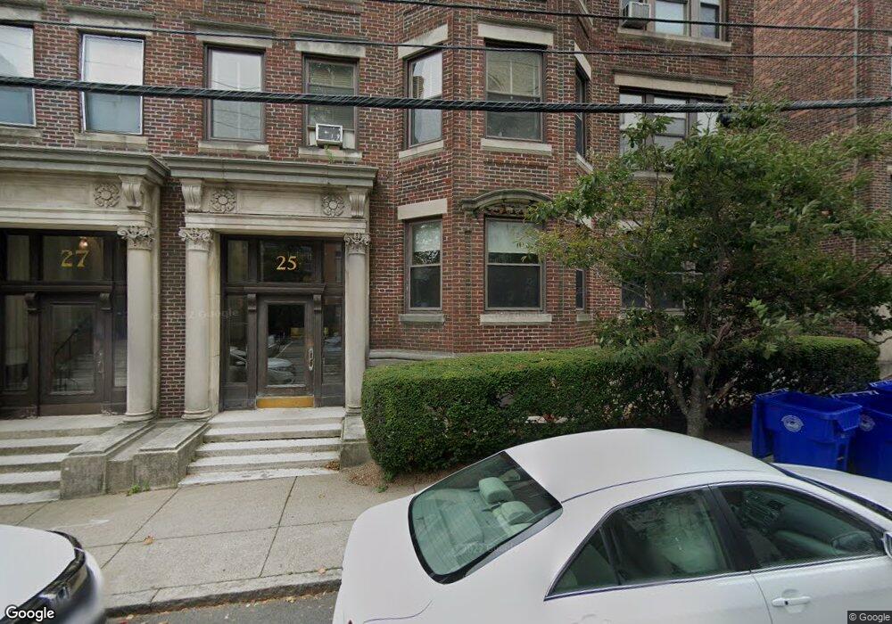
25 Stearns Rd Unit 2 Brookline, MA 02446
Coolidge Corner NeighborhoodEstimated Value: $1,694,135 - $1,920,000
1
Bed
2
Baths
1,000
Sq Ft
$1,764/Sq Ft
Est. Value
About This Home
This home is located at 25 Stearns Rd Unit 2, Brookline, MA 02446 and is currently estimated at $1,763,784, approximately $1,763 per square foot. 25 Stearns Rd Unit 2 is a home located in Norfolk County with nearby schools including Amos A. Lawrence School, St. Mary of the Assumption Elementary School, and Winsor School.
Ownership History
Date
Name
Owned For
Owner Type
Purchase Details
Closed on
Jul 2, 2001
Sold by
Bowman David
Bought by
Ghafour Ziad
Current Estimated Value
Purchase Details
Closed on
Jul 10, 1995
Sold by
Cohen Michael A and Cohen Carolyn A
Bought by
Bowman David
Purchase Details
Closed on
Jul 16, 1992
Sold by
Lai Donald C and Lai Marco S C
Bought by
Cohen Michael A and Cohen Carolyn A
Create a Home Valuation Report for This Property
The Home Valuation Report is an in-depth analysis detailing your home's value as well as a comparison with similar homes in the area
Home Values in the Area
Average Home Value in this Area
Purchase History
| Date | Buyer | Sale Price | Title Company |
|---|---|---|---|
| Ghafour Ziad | $622,500 | -- | |
| Bowman David | $290,000 | -- | |
| Cohen Michael A | $216,000 | -- |
Source: Public Records
Mortgage History
| Date | Status | Borrower | Loan Amount |
|---|---|---|---|
| Open | Cohen Michael A | $321,500 | |
| Closed | Cohen Michael A | $100,000 |
Source: Public Records
Tax History Compared to Growth
Tax History
| Year | Tax Paid | Tax Assessment Tax Assessment Total Assessment is a certain percentage of the fair market value that is determined by local assessors to be the total taxable value of land and additions on the property. | Land | Improvement |
|---|---|---|---|---|
| 2025 | $14,684 | $1,487,700 | $0 | $1,487,700 |
| 2024 | $14,250 | $1,458,500 | $0 | $1,458,500 |
| 2023 | $13,735 | $1,377,600 | $0 | $1,377,600 |
| 2022 | $13,764 | $1,350,700 | $0 | $1,350,700 |
| 2021 | $13,106 | $1,337,300 | $0 | $1,337,300 |
| 2020 | $12,513 | $1,324,100 | $0 | $1,324,100 |
| 2019 | $11,817 | $1,261,100 | $0 | $1,261,100 |
| 2018 | $11,380 | $1,203,000 | $0 | $1,203,000 |
| 2017 | $11,005 | $1,113,900 | $0 | $1,113,900 |
| 2016 | $10,551 | $1,012,600 | $0 | $1,012,600 |
| 2015 | $9,832 | $920,600 | $0 | $920,600 |
| 2014 | $9,417 | $826,800 | $0 | $826,800 |
Source: Public Records
Map
Nearby Homes
- 30 Stearns Rd Unit 302
- 45 Longwood Ave Unit 812
- 45 Longwood Ave Unit PHA
- 98 Saint Paul St Unit A1
- 60 Longwood Ave Unit 307
- 60 Longwood Ave Unit 403
- 50 Longwood Ave Unit 611
- 57 Saint Paul St Unit 19
- 119 Park St Unit 7
- 65 Francis St Unit 65
- 65 Francis St
- 24 Auburn St Unit 1
- 24 Auburn St Unit 2
- 24 Auburn St Unit 3
- 123 Sewall Ave Unit LC
- 5 Auburn Ct Unit 1
- 14 Green St Unit PHA
- 14 Green St Unit PH1
- 80 Vernon St Unit 1-A
- 80 Vernon St Unit PHA
- 25 Stearns Rd Unit 1
- 25 Stearns Rd Unit 4
- 25 Stearns Rd Unit 3
- 25 Stearns Rd Unit 25
- 25 Stearns Rd Unit 33
- 25 Stearns Rd
- 27 Stearns Rd Unit 2
- 27 Stearns Rd Unit 8
- 27 Stearns Rd Unit 4
- 27 Stearns Rd
- 27 Stearns Rd Unit 1
- 17 Stearns Rd Unit 1
- 17 Stearns Rd Unit 7
- 17 Stearns Rd Unit 6
- 17 Stearns Rd Unit 5
- 17 Stearns Rd Unit 4
- 17 Stearns Rd Unit 3
- 17 Stearns Rd Unit 2
- 17 Stearns Rd Unit 15-4
- 17 Stearns Rd Unit 11-3