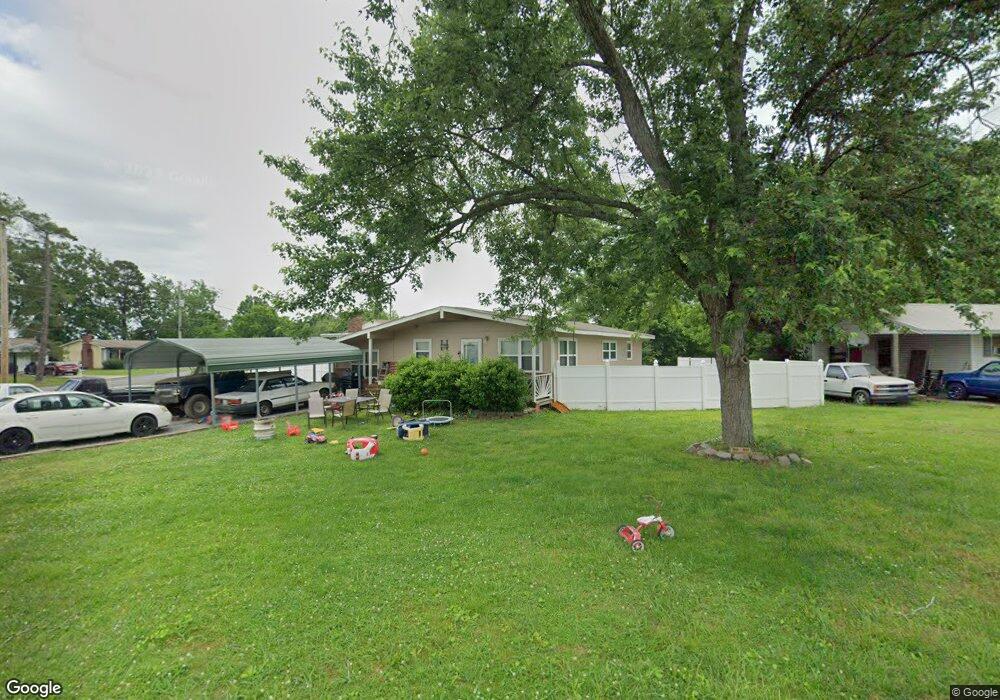
25 Talley Cir Fort Oglethorpe, GA 30742
Estimated Value: $183,000 - $203,000
--
Bed
2
Baths
1,366
Sq Ft
$143/Sq Ft
Est. Value
About This Home
This home is located at 25 Talley Cir, Fort Oglethorpe, GA 30742 and is currently estimated at $195,420, approximately $143 per square foot. 25 Talley Cir is a home located in Catoosa County with nearby schools including Battlefield Primary School, Battlefield Elementary School, and Lakeview Middle School.
Ownership History
Date
Name
Owned For
Owner Type
Purchase Details
Closed on
Mar 29, 2019
Sold by
Branum Donica L
Bought by
Holcomb Donald E
Current Estimated Value
Home Financials for this Owner
Home Financials are based on the most recent Mortgage that was taken out on this home.
Original Mortgage
$73,641
Outstanding Balance
$64,744
Interest Rate
4.3%
Mortgage Type
FHA
Estimated Equity
$130,676
Purchase Details
Closed on
Sep 22, 2009
Sold by
Vines Sylvia K
Bought by
Branum Donica L and Burton Kathy A
Purchase Details
Closed on
Aug 1, 2009
Sold by
Vines Donica Lenee
Bought by
Branum Donica L
Create a Home Valuation Report for This Property
The Home Valuation Report is an in-depth analysis detailing your home's value as well as a comparison with similar homes in the area
Home Values in the Area
Average Home Value in this Area
Purchase History
| Date | Buyer | Sale Price | Title Company |
|---|---|---|---|
| Holcomb Donald E | $75,000 | -- | |
| Branum Donica L | -- | -- | |
| Branum Donica L | -- | -- |
Source: Public Records
Mortgage History
| Date | Status | Borrower | Loan Amount |
|---|---|---|---|
| Open | Holcomb Donald E | $73,641 |
Source: Public Records
Tax History Compared to Growth
Tax History
| Year | Tax Paid | Tax Assessment Tax Assessment Total Assessment is a certain percentage of the fair market value that is determined by local assessors to be the total taxable value of land and additions on the property. | Land | Improvement |
|---|---|---|---|---|
| 2024 | $1,712 | $65,066 | $8,400 | $56,666 |
| 2023 | $1,374 | $48,923 | $8,400 | $40,523 |
| 2022 | $1,103 | $39,286 | $8,400 | $30,886 |
| 2021 | $1,046 | $39,286 | $8,400 | $30,886 |
| 2020 | $1,011 | $34,242 | $8,400 | $25,842 |
| 2019 | $1,022 | $34,242 | $8,400 | $25,842 |
| 2018 | $954 | $30,434 | $7,466 | $22,968 |
| 2017 | $841 | $26,845 | $7,466 | $19,379 |
| 2016 | -- | $25,079 | $7,466 | $17,613 |
| 2015 | -- | $25,079 | $7,466 | $17,613 |
| 2014 | -- | $25,079 | $7,466 | $17,613 |
| 2013 | -- | $25,079 | $7,466 | $17,612 |
Source: Public Records
Map
Nearby Homes
- 6 Talley Cir
- 8 Phillips Dr
- 38 Phillips Dr
- 8 Roberts Dr
- 1955 Old Lafayette Rd
- 15 Walker Ave
- 123 Coffman Dr
- 1925 Barrett Dr
- 104 Shelby St
- 152 Coffman Dr
- 504 Frieda Dr
- 23 Pine Hill Dr
- 218 Robert e Lee St
- 255 Pine Hill Dr
- 309 Barnhardt Cir
- 204 Harker Rd
- 1717 E Rebel Rd
- 99 Battlewood Dr
- 44 Harrison Ave
- 1629 W Rebel Rd