25 Tanglewood Dr Gorham, ME 04038
Estimated Value: $390,000 - $575,000
2
Beds
2
Baths
1,146
Sq Ft
$406/Sq Ft
Est. Value
About This Home
This home is located at 25 Tanglewood Dr, Gorham, ME 04038 and is currently estimated at $465,737, approximately $406 per square foot. 25 Tanglewood Dr is a home with nearby schools including Great Falls Elementary School, Gorham Middle School, and Gorham High School.
Ownership History
Date
Name
Owned For
Owner Type
Purchase Details
Closed on
Mar 31, 2009
Sold by
Home Construction Inc
Bought by
Baruch Adele
Current Estimated Value
Purchase Details
Closed on
Jun 18, 2008
Sold by
Harvey Darryl J and Harvey Sara L
Bought by
Home Constr Inc
Home Financials for this Owner
Home Financials are based on the most recent Mortgage that was taken out on this home.
Original Mortgage
$44,000
Interest Rate
6.1%
Mortgage Type
Purchase Money Mortgage
Create a Home Valuation Report for This Property
The Home Valuation Report is an in-depth analysis detailing your home's value as well as a comparison with similar homes in the area
Home Values in the Area
Average Home Value in this Area
Purchase History
| Date | Buyer | Sale Price | Title Company |
|---|---|---|---|
| Baruch Adele | -- | -- | |
| Home Constr Inc | -- | -- |
Source: Public Records
Mortgage History
| Date | Status | Borrower | Loan Amount |
|---|---|---|---|
| Previous Owner | Home Constr Inc | $44,000 |
Source: Public Records
Tax History Compared to Growth
Tax History
| Year | Tax Paid | Tax Assessment Tax Assessment Total Assessment is a certain percentage of the fair market value that is determined by local assessors to be the total taxable value of land and additions on the property. | Land | Improvement |
|---|---|---|---|---|
| 2024 | $4,698 | $319,600 | $76,100 | $243,500 |
| 2023 | $4,395 | $319,600 | $76,100 | $243,500 |
| 2022 | $4,107 | $319,600 | $76,100 | $243,500 |
| 2021 | $3,164 | $163,100 | $63,900 | $99,200 |
| 2020 | $2,916 | $163,100 | $63,900 | $99,200 |
| 2019 | $3,091 | $163,100 | $63,900 | $99,200 |
| 2018 | $2,612 | $163,100 | $63,900 | $99,200 |
| 2017 | $2,328 | $163,100 | $63,900 | $99,200 |
| 2016 | $2,361 | $163,100 | $63,900 | $99,200 |
| 2015 | $1,899 | $116,500 | $48,900 | $67,600 |
| 2014 | $1,822 | $104,700 | $44,200 | $60,500 |
| 2013 | $1,811 | $104,700 | $44,200 | $60,500 |
Source: Public Records
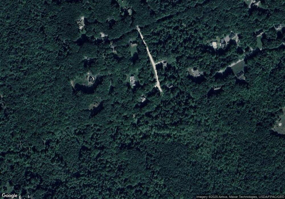
Map
Nearby Homes
- 127 Falcon Crest Dr Unit 4
- 180 Falcon Crest Dr Unit 55
- 182 Falcon Crest Dr Unit 56
- 185 Falcon Crest Dr Unit 29
- 186 Falcon Crest Dr Unit 57
- 187 Falcon Crest Dr Unit 30
- 188 Falcon Crest Dr Unit 58
- 189 Falcon Crest Dr Unit 31
- 191 Falcon Crest Dr Unit 32
- 192 Falcon Crest Dr Unit 59
- 193 Falcon Crest Dr Unit 33
- 194 Falcon Crest Dr Unit 60
- 195 Falcon Crest Dr Unit 34
- 35 Rust Rd
- 8 Western Ave
- 114 Narragansett St
- 52 Morrill Ave
- 91 South St
- 8 Wolf River Run
- 49 Lochwood Dr
- 19 Tanglewood Dr
- 26 Tanglewood Dr
- 16 Tanglewood Dr
- 0 Tanglewood Dr Unit 1434343
- 0 Tanglewood Dr Unit 1436166
- 2 Tanglewood Dr
- 3 Blockhouse Run
- 36 Phinney St
- 2 Blockhouse Run
- 42 Phinney St
- 69 Pheasant Ln
- 4 Harrison Ln
- 8 Harrison Ln
- 4 Harrison Ln
- 38 Phinney
- 1 Blockhouse Run
- 70 Pheasant Ln
- 1 Tanglewood Dr
- 53 Phinney St
- 49 Phinney St