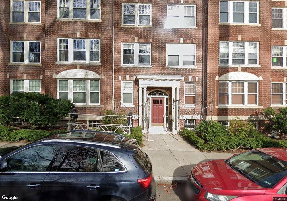
25 Thatcher St Unit D21 Brookline, MA 02446
Coolidge Corner NeighborhoodEstimated Value: $712,201 - $827,000
2
Beds
1
Bath
823
Sq Ft
$941/Sq Ft
Est. Value
About This Home
This home is located at 25 Thatcher St Unit D21, Brookline, MA 02446 and is currently estimated at $774,800, approximately $941 per square foot. 25 Thatcher St Unit D21 is a home located in Norfolk County with nearby schools including Amos A. Lawrence School, Match Charter Public School, and New England Hebrew Academy.
Ownership History
Date
Name
Owned For
Owner Type
Purchase Details
Closed on
Jun 25, 2007
Sold by
Chan Diane and Schrumpf Matthew H
Bought by
Chan Diane and Chan Mee Y
Current Estimated Value
Purchase Details
Closed on
Jun 19, 2006
Sold by
Allen Ft and Swanson Laura A
Bought by
Schrumpf Matthew H and Chan Diane
Home Financials for this Owner
Home Financials are based on the most recent Mortgage that was taken out on this home.
Original Mortgage
$265,000
Interest Rate
6.62%
Mortgage Type
Purchase Money Mortgage
Purchase Details
Closed on
Jul 15, 2004
Sold by
Allen Zoe L
Bought by
Allen Ft and Swanson Laura A
Create a Home Valuation Report for This Property
The Home Valuation Report is an in-depth analysis detailing your home's value as well as a comparison with similar homes in the area
Home Values in the Area
Average Home Value in this Area
Purchase History
| Date | Buyer | Sale Price | Title Company |
|---|---|---|---|
| Chan Diane | -- | -- | |
| Schrumpf Matthew H | $365,000 | -- | |
| Allen Ft | -- | -- |
Source: Public Records
Mortgage History
| Date | Status | Borrower | Loan Amount |
|---|---|---|---|
| Previous Owner | Schrumpf Matthew H | $265,000 |
Source: Public Records
Tax History Compared to Growth
Tax History
| Year | Tax Paid | Tax Assessment Tax Assessment Total Assessment is a certain percentage of the fair market value that is determined by local assessors to be the total taxable value of land and additions on the property. | Land | Improvement |
|---|---|---|---|---|
| 2025 | $6,553 | $663,900 | $0 | $663,900 |
| 2024 | $6,359 | $650,900 | $0 | $650,900 |
| 2023 | $6,363 | $638,200 | $0 | $638,200 |
| 2022 | $6,376 | $625,700 | $0 | $625,700 |
| 2021 | $6,071 | $619,500 | $0 | $619,500 |
| 2020 | $5,797 | $613,400 | $0 | $613,400 |
| 2019 | $5,474 | $584,200 | $0 | $584,200 |
| 2018 | $5,039 | $532,700 | $0 | $532,700 |
| 2017 | $4,873 | $493,200 | $0 | $493,200 |
| 2016 | $4,672 | $448,400 | $0 | $448,400 |
| 2015 | $4,353 | $407,600 | $0 | $407,600 |
| 2014 | $4,284 | $376,100 | $0 | $376,100 |
Source: Public Records
Map
Nearby Homes
- 19 Thatcher St Unit E13
- 6 Elba St
- 99 Crowninshield Rd Unit 99
- 125 Crowninshield Rd Unit 125
- 125 Pleasant St Unit 201
- 233 Freeman St Unit 1
- 180 Ivy St
- 178 Ivy St
- 18 Browne St Unit 2
- 11 Abbottsford Rd
- 79 Pleasant St Unit 4
- 45 Dwight St
- 58 Dwight St Unit 6
- 95 Beals St Unit 2
- 15 James St Unit 2
- 17 James St Unit 1
- 63 Green St Unit 3
- 63 Green St Unit 2
- 85 Naples Rd Unit B
- 85 Naples Rd Unit 2
- 25 Thatcher St Unit D13
- 25 Thatcher St Unit D12
- 25 Thatcher St Unit D11
- 25 Thatcher St Unit D21A
- 25 Thatcher St Unit D23
- 25 Thatcher St Unit D22
- 25 Thatcher St Unit 1 (D2-1)
- 25 Thatcher St Unit D2-3 5
- 25 Thatcher St Unit 4(D1-2)
- 25 Thatcher St Unit 4
- 25 Thatcher St
- 25 Thatcher St Unit 6
- 25 Thatcher St Unit 5
- 25 Thatcher St Unit 3
- 25 Thatcher St
- 25 Thatcher St Unit 2
- 25 Thatcher St Unit 1
- 19 Thatcher St Unit E12
- 19 Thatcher St Unit E11
- 15 Thatcher St Unit F13