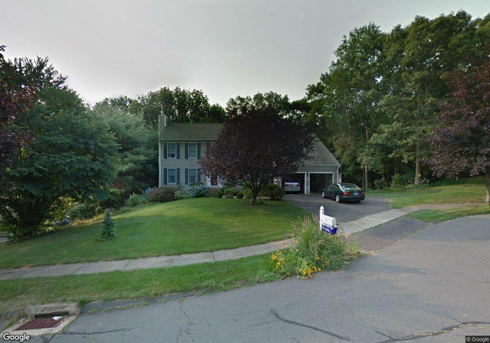
25 Tower Rd Middletown, CT 06457
Highland NeighborhoodEstimated Value: $525,624 - $581,000
3
Beds
3
Baths
2,542
Sq Ft
$217/Sq Ft
Est. Value
About This Home
This home is located at 25 Tower Rd, Middletown, CT 06457 and is currently estimated at $550,406, approximately $216 per square foot. 25 Tower Rd is a home located in Middlesex County with nearby schools including Moody School and Middletown High School.
Ownership History
Date
Name
Owned For
Owner Type
Purchase Details
Closed on
Oct 23, 2018
Sold by
Dehart Roberta B Est
Bought by
Trovarelli Christopher J and Bacon Sarah N
Current Estimated Value
Home Financials for this Owner
Home Financials are based on the most recent Mortgage that was taken out on this home.
Original Mortgage
$27,000
Outstanding Balance
$23,497
Interest Rate
4.5%
Mortgage Type
Credit Line Revolving
Estimated Equity
$526,909
Purchase Details
Closed on
Aug 26, 1988
Sold by
K & F Assoc Inc
Bought by
Dehart Robert D
Home Financials for this Owner
Home Financials are based on the most recent Mortgage that was taken out on this home.
Original Mortgage
$217,900
Interest Rate
10.36%
Create a Home Valuation Report for This Property
The Home Valuation Report is an in-depth analysis detailing your home's value as well as a comparison with similar homes in the area
Home Values in the Area
Average Home Value in this Area
Purchase History
| Date | Buyer | Sale Price | Title Company |
|---|---|---|---|
| Trovarelli Christopher J | -- | -- | |
| Dehart Robert D | $290,600 | -- |
Source: Public Records
Mortgage History
| Date | Status | Borrower | Loan Amount |
|---|---|---|---|
| Open | Trovarelli Christopher J | $27,000 | |
| Previous Owner | Dehart Robert D | $157,981 | |
| Previous Owner | Dehart Robert D | $177,000 | |
| Previous Owner | Dehart Robert D | $217,900 |
Source: Public Records
Tax History
| Year | Tax Paid | Tax Assessment Tax Assessment Total Assessment is a certain percentage of the fair market value that is determined by local assessors to be the total taxable value of land and additions on the property. | Land | Improvement |
|---|---|---|---|---|
| 2025 | $9,806 | $291,090 | $58,980 | $232,110 |
| 2024 | $9,297 | $291,090 | $58,980 | $232,110 |
| 2023 | $8,746 | $291,090 | $58,980 | $232,110 |
| 2022 | $8,289 | $220,950 | $43,160 | $177,790 |
| 2021 | $3,458 | $220,950 | $43,160 | $177,790 |
| 2020 | $8,282 | $220,950 | $43,160 | $177,790 |
| 2019 | $3,406 | $220,950 | $43,160 | $177,790 |
| 2018 | $8,030 | $220,950 | $43,160 | $177,790 |
| 2017 | $8,213 | $231,670 | $54,740 | $176,930 |
| 2016 | $8,054 | $231,670 | $54,740 | $176,930 |
| 2015 | $7,880 | $231,670 | $54,740 | $176,930 |
| 2014 | $7,883 | $231,670 | $54,740 | $176,930 |
Source: Public Records
Map
Nearby Homes
- 0 Bell St Unit 24149149
- 0 Country Club Rd and Massa Tom Rd Rd E
- 1655 N Colony Rd Unit 5001
- 1655 N Colony Rd Unit 15
- 116 Silver Island Way Unit 116
- 215 Carriage Crossing Ln Unit 215
- 180 Carriage Crossing Ln Unit 180
- 118 Carriage Crossing Ln
- 133 Carriage Crossing Ln
- 44 Carriage Crossing Ln Unit 44
- 12 Carriage Crossing Ln Unit 12
- 318 Carriage Crossing Ln Unit 318
- 159 Carriage Crossing Ln Unit 159
- 7 W Meadow Ln Unit 5
- 1950 N Broad St Unit 27
- 3 Braeburn Ln
- 9 Empire Ave
- 0 Middle St
- 1 Forest Glen Cir Unit 11
- 14 Forest Glen Cir Unit 10
Your Personal Tour Guide
Ask me questions while you tour the home.