25 Trask Ln Uxbridge, MA 01569
Estimated Value: $759,000 - $854,000
4
Beds
3
Baths
2,864
Sq Ft
$274/Sq Ft
Est. Value
About This Home
This home is located at 25 Trask Ln, Uxbridge, MA 01569 and is currently estimated at $785,698, approximately $274 per square foot. 25 Trask Ln is a home located in Worcester County with nearby schools including Uxbridge High School and Our Lady of the Valley Regional School.
Ownership History
Date
Name
Owned For
Owner Type
Purchase Details
Closed on
Jan 27, 1999
Sold by
Joseph Construction
Bought by
Witham Marvin J and Witham Sally J
Current Estimated Value
Home Financials for this Owner
Home Financials are based on the most recent Mortgage that was taken out on this home.
Original Mortgage
$227,150
Interest Rate
6.67%
Mortgage Type
Purchase Money Mortgage
Create a Home Valuation Report for This Property
The Home Valuation Report is an in-depth analysis detailing your home's value as well as a comparison with similar homes in the area
Home Values in the Area
Average Home Value in this Area
Purchase History
| Date | Buyer | Sale Price | Title Company |
|---|---|---|---|
| Witham Marvin J | $308,000 | -- |
Source: Public Records
Mortgage History
| Date | Status | Borrower | Loan Amount |
|---|---|---|---|
| Open | Witham Marvin J | $226,200 | |
| Closed | Witham Marvin J | $227,150 | |
| Closed | Witham Marvin J | $24,050 |
Source: Public Records
Tax History
| Year | Tax Paid | Tax Assessment Tax Assessment Total Assessment is a certain percentage of the fair market value that is determined by local assessors to be the total taxable value of land and additions on the property. | Land | Improvement |
|---|---|---|---|---|
| 2025 | $90 | $688,300 | $181,700 | $506,600 |
| 2024 | $8,553 | $662,000 | $173,000 | $489,000 |
| 2023 | $8,151 | $584,300 | $148,800 | $435,500 |
| 2022 | $7,366 | $485,900 | $131,400 | $354,500 |
| 2021 | $7,646 | $483,300 | $128,800 | $354,500 |
| 2020 | $8,459 | $505,300 | $127,000 | $378,300 |
| 2019 | $8,323 | $479,700 | $127,000 | $352,700 |
| 2018 | $8,091 | $471,200 | $127,000 | $344,200 |
| 2017 | $7,679 | $452,800 | $117,300 | $335,500 |
| 2016 | $8,007 | $455,700 | $112,000 | $343,700 |
| 2015 | $7,806 | $448,600 | $112,000 | $336,600 |
Source: Public Records
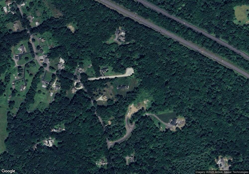
Map
Nearby Homes
- 197 Crownshield Ave Unit 16B
- 197 Crownshield Ave Unit 16A
- 197 Crownshield Ave Unit 16C
- 314 Richardson St
- 395 High St
- 45 Turner Farm Rd
- 46 Turner Farm Rd
- 47 Turner Farm Rd
- 114 Turner Farm Rd
- 61 Spring Hill Dr Unit 61
- 127 Turner Farm Rd
- 126 Turner Farm Rd
- 18 Turner Farm Rd
- 15 Turner Farm Rd
- 12 Turner Farm Rd
- 139 Turner Farm Rd
- 136 Turner Farm Rd
- 145 Turner Farm Rd
- 70 Chocolog Rd
- 11 Summerfield Dr Unit 11
Your Personal Tour Guide
Ask me questions while you tour the home.