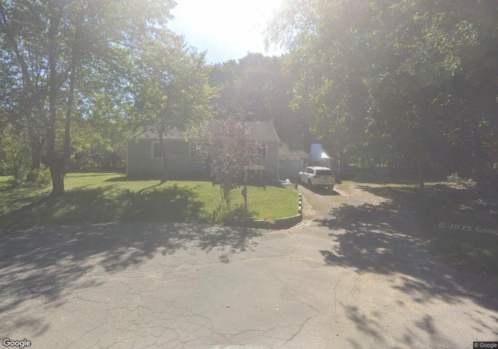
25 Wade St Scituate, MA 02066
Estimated Value: $667,000 - $721,000
3
Beds
1
Bath
1,092
Sq Ft
$625/Sq Ft
Est. Value
About This Home
This home is located at 25 Wade St, Scituate, MA 02066 and is currently estimated at $682,202, approximately $624 per square foot. 25 Wade St is a home located in Plymouth County with nearby schools including Hatherly Elementary School, Lester J. Gates Middle School, and Scituate High School.
Ownership History
Date
Name
Owned For
Owner Type
Purchase Details
Closed on
Nov 2, 2018
Sold by
Harrigan Paul R
Bought by
25 Wade Street Rt
Current Estimated Value
Purchase Details
Closed on
Jan 29, 2001
Sold by
Hill David C and Hill Rita A
Bought by
Harrigan Paul R
Home Financials for this Owner
Home Financials are based on the most recent Mortgage that was taken out on this home.
Original Mortgage
$100,000
Interest Rate
7.39%
Mortgage Type
Purchase Money Mortgage
Purchase Details
Closed on
Jun 30, 1999
Sold by
Mahony Helen G
Bought by
Hill David C and Hill Rita A
Home Financials for this Owner
Home Financials are based on the most recent Mortgage that was taken out on this home.
Original Mortgage
$174,014
Interest Rate
7.19%
Mortgage Type
Purchase Money Mortgage
Create a Home Valuation Report for This Property
The Home Valuation Report is an in-depth analysis detailing your home's value as well as a comparison with similar homes in the area
Home Values in the Area
Average Home Value in this Area
Purchase History
| Date | Buyer | Sale Price | Title Company |
|---|---|---|---|
| 25 Wade Street Rt | -- | -- | |
| Harrigan Paul R | $200,000 | -- | |
| Hill David C | $175,000 | -- |
Source: Public Records
Mortgage History
| Date | Status | Borrower | Loan Amount |
|---|---|---|---|
| Previous Owner | Hill David C | $100,000 | |
| Previous Owner | Hill David C | $174,014 | |
| Previous Owner | Hill David C | $50,000 | |
| Previous Owner | Hill David C | $20,000 |
Source: Public Records
Tax History
| Year | Tax Paid | Tax Assessment Tax Assessment Total Assessment is a certain percentage of the fair market value that is determined by local assessors to be the total taxable value of land and additions on the property. | Land | Improvement |
|---|---|---|---|---|
| 2025 | $4,773 | $477,800 | $353,900 | $123,900 |
| 2024 | $4,652 | $449,000 | $321,700 | $127,300 |
| 2023 | $5,154 | $428,100 | $309,700 | $118,400 |
| 2022 | $5,154 | $408,400 | $295,700 | $112,700 |
| 2021 | $5,064 | $379,900 | $281,600 | $98,300 |
| 2020 | $4,917 | $364,200 | $270,700 | $93,500 |
| 2019 | $4,905 | $357,000 | $265,400 | $91,600 |
| 2018 | $4,972 | $356,400 | $276,600 | $79,800 |
| 2017 | $4,865 | $345,300 | $265,500 | $79,800 |
| 2016 | $4,570 | $323,200 | $243,400 | $79,800 |
| 2015 | $4,089 | $312,100 | $232,300 | $79,800 |
Source: Public Records
Map
Nearby Homes
- 701 Country Way
- 38 Booth Hill Rd
- 26 Mordecai Lincoln Rd
- 817 Country Way
- 11 Forest Ln
- 9 Forest Ln Unit 9
- 629 Country Way
- 7 3 Ring Rd
- 7 Border St
- 71 Ledgewood Dr
- 124 Captain Peirce Rd
- 49 Whittier Dr
- 96 Black Horse Ln
- 27 Ox Pasture Ln
- 70 Black Horse Ln
- 45 Hemlock Way
- 27 Curtis St
- 68 Black Horse Ln
- 32 Ann Vinal Rd
- 59 Captain Peirce Rd
- 9 Wade St
- 26 Wade St Unit 2
- 26 Wade St
- 24 Wade St
- 744 Country Way
- 740 Country Way
- 748 Country Way
- 734 Country Way
- 12 Wade St
- 16 Wade St
- 750 Country Way
- 728 Country Way
- 743 Country Way
- 737 Country Way
- 754 Country Way
- 731 Country Way
- 749 Country Way
- 5 Gridley Bryant Rd
- 5 Gridley Bryant Rd
- 5 Gridley Bryant Rd
Your Personal Tour Guide
Ask me questions while you tour the home.