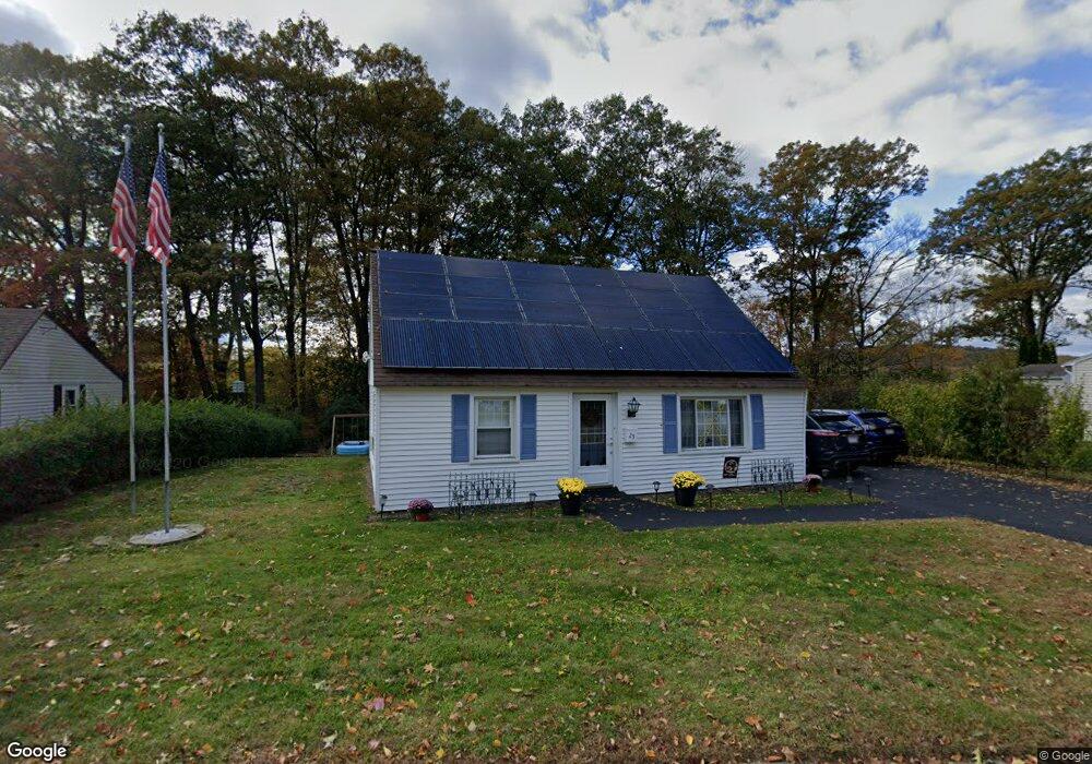
25 Warren Rd Auburn, MA 01501
West Auburn NeighborhoodEstimated Value: $361,000 - $399,000
4
Beds
1
Bath
1,238
Sq Ft
$309/Sq Ft
Est. Value
About This Home
This home is located at 25 Warren Rd, Auburn, MA 01501 and is currently estimated at $382,534, approximately $308 per square foot. 25 Warren Rd is a home located in Worcester County with nearby schools including Auburn Senior High School and Shrewsbury Montessori School - Auburn Campus.
Ownership History
Date
Name
Owned For
Owner Type
Purchase Details
Closed on
Mar 24, 2010
Sold by
Mcnerney Stephen A and Anderson Robert C
Bought by
Bigelow Timothy W
Current Estimated Value
Home Financials for this Owner
Home Financials are based on the most recent Mortgage that was taken out on this home.
Original Mortgage
$125,000
Outstanding Balance
$83,013
Interest Rate
5.02%
Mortgage Type
Purchase Money Mortgage
Estimated Equity
$299,521
Create a Home Valuation Report for This Property
The Home Valuation Report is an in-depth analysis detailing your home's value as well as a comparison with similar homes in the area
Home Values in the Area
Average Home Value in this Area
Purchase History
| Date | Buyer | Sale Price | Title Company |
|---|---|---|---|
| Bigelow Timothy W | $125,000 | -- |
Source: Public Records
Mortgage History
| Date | Status | Borrower | Loan Amount |
|---|---|---|---|
| Open | Bigelow Timothy W | $125,000 |
Source: Public Records
Tax History Compared to Growth
Tax History
| Year | Tax Paid | Tax Assessment Tax Assessment Total Assessment is a certain percentage of the fair market value that is determined by local assessors to be the total taxable value of land and additions on the property. | Land | Improvement |
|---|---|---|---|---|
| 2025 | $46 | $320,800 | $114,700 | $206,100 |
| 2024 | $4,476 | $299,800 | $109,200 | $190,600 |
| 2023 | $4,394 | $276,700 | $99,200 | $177,500 |
| 2022 | $4,129 | $245,500 | $99,200 | $146,300 |
| 2021 | $5,396 | $209,800 | $87,600 | $122,200 |
| 2020 | $11,800 | $204,900 | $87,600 | $117,300 |
| 2019 | $3,586 | $194,700 | $86,700 | $108,000 |
| 2018 | $3,323 | $180,200 | $81,100 | $99,100 |
| 2017 | $3,101 | $169,100 | $73,500 | $95,600 |
| 2016 | $2,979 | $164,700 | $77,100 | $87,600 |
| 2015 | $2,756 | $159,700 | $77,100 | $82,600 |
| 2014 | $2,597 | $150,200 | $73,300 | $76,900 |
Source: Public Records
Map
Nearby Homes
- 0 Athens St
- 48 Appleton Rd
- 57 Appleton Rd
- 111 Old Meetinghouse Rd
- 6 Heritage Dr
- 61 Federal Hill Rd
- 611 Oxford St S
- 4 Linden Ln
- 634 Oxford St S
- 6 Linden Ln
- 751 Washington St Unit 33
- 217 Prospect St
- 1 Crowl Hill Rd
- 45 Loring St
- 30 Briarcliff Dr
- Lot 2 Leicester St
- 381 Oxford St N
- 19 Garden St
- 15 Paul St
- 3 Old Cart Rd