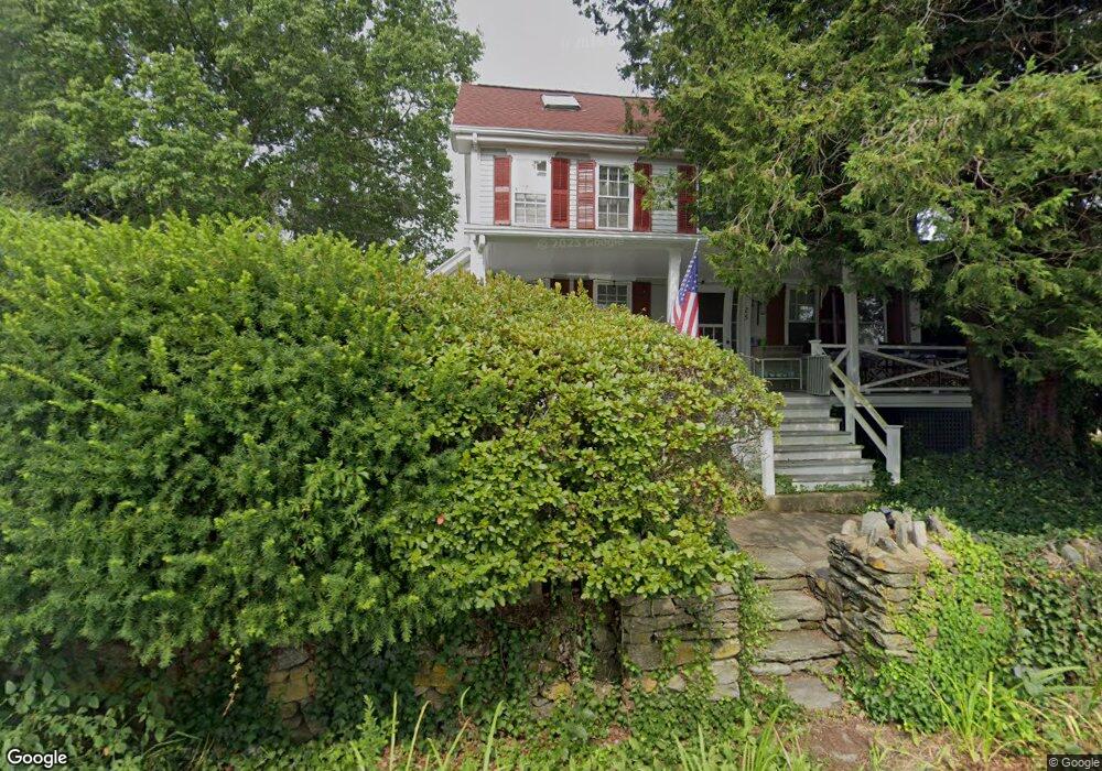
25 Waterway Saunderstown, RI 02874
Saunderstown NeighborhoodEstimated Value: $1,172,000 - $2,534,046
--
Bed
--
Bath
--
Sq Ft
0.74
Acres
About This Home
This home is located at 25 Waterway, Saunderstown, RI 02874 and is currently estimated at $1,936,762. 25 Waterway is a home located in Washington County with nearby schools including Hamilton Elementary School, Wickford Middle School, and North Kingstown Sr. High School.
Ownership History
Date
Name
Owned For
Owner Type
Purchase Details
Closed on
Jan 7, 2019
Sold by
Mcdonald Collin
Bought by
Leavitt Michele C
Current Estimated Value
Purchase Details
Closed on
Nov 15, 2017
Sold by
Leavitt Michele C
Bought by
Mcdonald Collin and Leavitt Michele C
Purchase Details
Closed on
Jul 9, 1992
Sold by
Devoe Harry
Bought by
Leavit Michele
Create a Home Valuation Report for This Property
The Home Valuation Report is an in-depth analysis detailing your home's value as well as a comparison with similar homes in the area
Home Values in the Area
Average Home Value in this Area
Purchase History
| Date | Buyer | Sale Price | Title Company |
|---|---|---|---|
| Leavitt Michele C | -- | -- | |
| Mcdonald Collin | -- | -- | |
| Leavit Michele | $342,000 | -- |
Source: Public Records
Mortgage History
| Date | Status | Borrower | Loan Amount |
|---|---|---|---|
| Previous Owner | Leavit Michele | $75,000 | |
| Previous Owner | Leavit Michele | $280,000 | |
| Previous Owner | Leavit Michele | $140,000 | |
| Previous Owner | Leavit Michele | $142,100 |
Source: Public Records
Tax History Compared to Growth
Tax History
| Year | Tax Paid | Tax Assessment Tax Assessment Total Assessment is a certain percentage of the fair market value that is determined by local assessors to be the total taxable value of land and additions on the property. | Land | Improvement |
|---|---|---|---|---|
| 2025 | $17,760 | $1,608,700 | $1,152,500 | $456,200 |
| 2024 | $17,033 | $1,187,800 | $834,800 | $353,000 |
| 2023 | $17,033 | $1,187,800 | $834,800 | $353,000 |
| 2022 | $16,700 | $1,187,800 | $834,800 | $353,000 |
| 2021 | $13,085 | $747,700 | $473,700 | $274,000 |
| 2020 | $12,778 | $747,700 | $473,700 | $274,000 |
| 2019 | $12,778 | $747,700 | $473,700 | $274,000 |
| 2018 | $13,233 | $697,600 | $452,600 | $245,000 |
| 2017 | $12,968 | $697,600 | $452,600 | $245,000 |
| 2016 | $12,599 | $697,600 | $452,600 | $245,000 |
| 2015 | $13,089 | $678,200 | $452,600 | $225,600 |
| 2014 | $12,825 | $678,200 | $452,600 | $225,600 |
Source: Public Records
Map
Nearby Homes
- 10 Highland Rd
- 49 Meadow Sweet Trail
- 47 Wake Robin Trail
- 18 Anawan Ave
- 137 Bonnet Shores Rd
- 12 Overlook Rd
- 20 Anchorage Rd
- 55 Bonnet Shores Rd
- 2424 Tower Hill Rd
- 297 Walmsley Ln
- 53 Bonnet Shores Rd
- 51 Bonnet Shores Rd
- 18 Lakeview Dr
- 46 Hillside Ct
- 2180 Tower Hill Rd
- 51 Osceola Ave
- 48 Ocean Ave
- 21 Helm St
- 91 Bonnet Point Rd
- 121 Seaside Dr