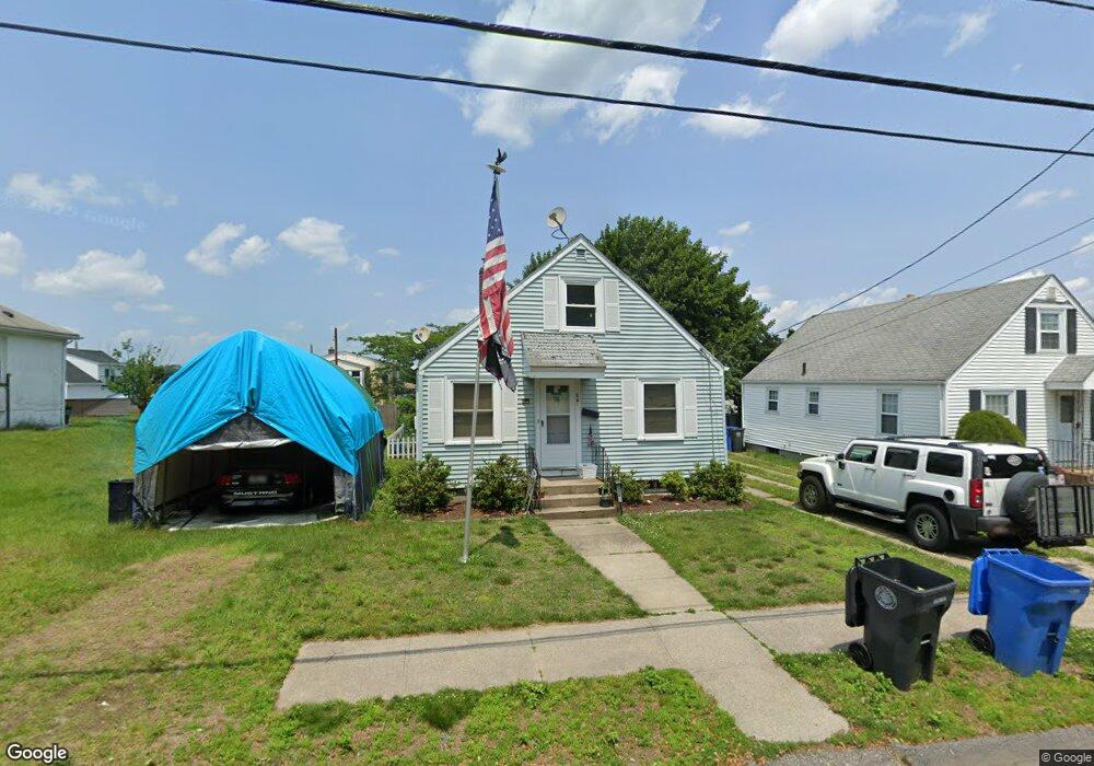
25 Wayland Ave Cranston, RI 02920
Knightsville NeighborhoodEstimated Value: $374,000 - $421,000
3
Beds
1
Bath
1,152
Sq Ft
$340/Sq Ft
Est. Value
About This Home
This home is located at 25 Wayland Ave, Cranston, RI 02920 and is currently estimated at $391,242, approximately $339 per square foot. 25 Wayland Ave is a home located in Providence County with nearby schools including George J. Peters School, Western Hills Middle School, and Cranston High School West.
Ownership History
Date
Name
Owned For
Owner Type
Purchase Details
Closed on
May 14, 2024
Sold by
Derderian Gregory and Derderian Marla
Bought by
Post & Main Llc
Current Estimated Value
Purchase Details
Closed on
Jul 29, 1996
Sold by
Vallone John J
Bought by
Hassell Judith E
Home Financials for this Owner
Home Financials are based on the most recent Mortgage that was taken out on this home.
Original Mortgage
$78,600
Interest Rate
8.37%
Create a Home Valuation Report for This Property
The Home Valuation Report is an in-depth analysis detailing your home's value as well as a comparison with similar homes in the area
Home Values in the Area
Average Home Value in this Area
Purchase History
| Date | Buyer | Sale Price | Title Company |
|---|---|---|---|
| Post & Main Llc | -- | None Available | |
| Post & Main Llc | -- | None Available | |
| Hassell Judith E | $81,000 | -- | |
| Hassell Judith E | $81,000 | -- |
Source: Public Records
Mortgage History
| Date | Status | Borrower | Loan Amount |
|---|---|---|---|
| Previous Owner | Hassell Judith E | $63,300 | |
| Previous Owner | Hassell Judith E | $78,600 |
Source: Public Records
Tax History Compared to Growth
Tax History
| Year | Tax Paid | Tax Assessment Tax Assessment Total Assessment is a certain percentage of the fair market value that is determined by local assessors to be the total taxable value of land and additions on the property. | Land | Improvement |
|---|---|---|---|---|
| 2025 | $3,838 | $276,500 | $94,300 | $182,200 |
| 2024 | $3,691 | $271,200 | $94,300 | $176,900 |
| 2023 | $3,672 | $194,300 | $65,100 | $129,200 |
| 2022 | $3,596 | $194,300 | $65,100 | $129,200 |
| 2021 | $3,497 | $194,300 | $65,100 | $129,200 |
| 2020 | $3,317 | $159,700 | $61,800 | $97,900 |
| 2019 | $3,317 | $159,700 | $61,800 | $97,900 |
| 2018 | $3,240 | $159,700 | $61,800 | $97,900 |
| 2017 | $2,916 | $127,100 | $45,500 | $81,600 |
| 2016 | $2,853 | $127,100 | $45,500 | $81,600 |
| 2015 | $2,853 | $127,100 | $45,500 | $81,600 |
| 2014 | $2,928 | $128,200 | $45,500 | $82,700 |
Source: Public Records
Map
Nearby Homes
- 34 Aldrich Ave
- 80 Phenix Ave
- 210 Hyde St
- 71 Norton Ave
- 99 Salem Ave
- 69 W View Ave
- 21 Charles St
- 0 Rutland St
- 54 Randall St
- 86 Sherwood St
- 333 Phenix Ave
- 111 Belgium St
- 56 Scituate Ave
- 00 Burton St
- 92 Rhode Island St
- 0 Phenix Ave Unit 1384514
- 14 New Hampshire St
- 1574 Cranston St
- 446 Budlong Rd
- 70 Florida Ave