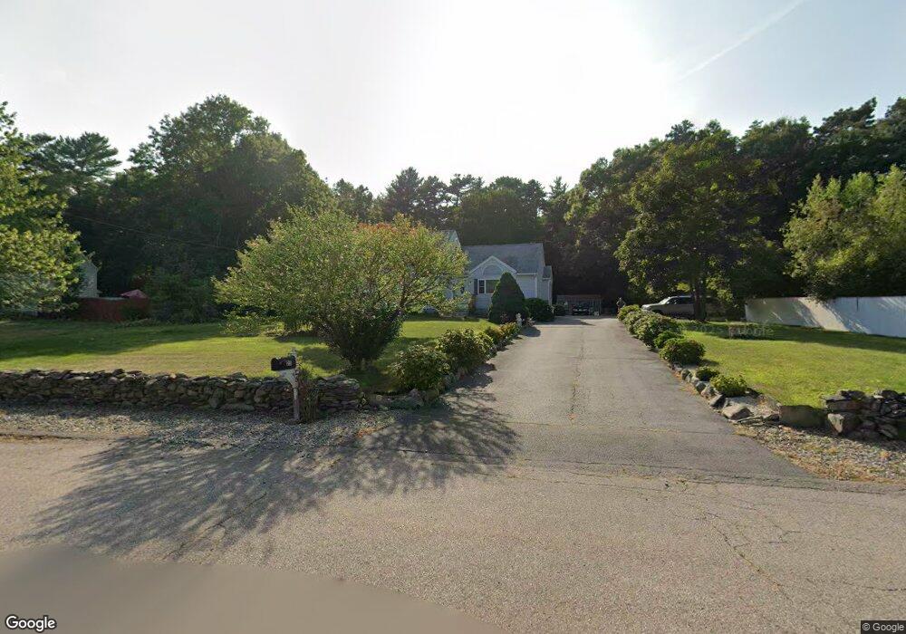
25 Windsor Ct East Taunton, MA 02718
East Taunton NeighborhoodEstimated Value: $564,000 - $648,000
3
Beds
2
Baths
1,470
Sq Ft
$408/Sq Ft
Est. Value
About This Home
This home is located at 25 Windsor Ct, East Taunton, MA 02718 and is currently estimated at $600,049, approximately $408 per square foot. 25 Windsor Ct is a home located in Bristol County with nearby schools including East Taunton Elementary School, Joseph H. Martin, and Taunton High School.
Ownership History
Date
Name
Owned For
Owner Type
Purchase Details
Closed on
May 1, 2003
Sold by
Lima Michael J and Lima Melissa M
Bought by
Freitas Jose
Current Estimated Value
Home Financials for this Owner
Home Financials are based on the most recent Mortgage that was taken out on this home.
Original Mortgage
$240,000
Outstanding Balance
$104,537
Interest Rate
5.82%
Mortgage Type
Purchase Money Mortgage
Estimated Equity
$495,512
Purchase Details
Closed on
Aug 6, 1993
Sold by
Bruce Dev Corp
Bought by
Lima Michael J and Lima Melissa M
Home Financials for this Owner
Home Financials are based on the most recent Mortgage that was taken out on this home.
Original Mortgage
$137,150
Interest Rate
7.29%
Mortgage Type
Purchase Money Mortgage
Create a Home Valuation Report for This Property
The Home Valuation Report is an in-depth analysis detailing your home's value as well as a comparison with similar homes in the area
Home Values in the Area
Average Home Value in this Area
Purchase History
| Date | Buyer | Sale Price | Title Company |
|---|---|---|---|
| Freitas Jose | $300,000 | -- | |
| Lima Michael J | $135,500 | -- |
Source: Public Records
Mortgage History
| Date | Status | Borrower | Loan Amount |
|---|---|---|---|
| Open | Freitas Jose | $240,000 | |
| Previous Owner | Lima Michael J | $137,150 |
Source: Public Records
Tax History Compared to Growth
Tax History
| Year | Tax Paid | Tax Assessment Tax Assessment Total Assessment is a certain percentage of the fair market value that is determined by local assessors to be the total taxable value of land and additions on the property. | Land | Improvement |
|---|---|---|---|---|
| 2025 | $5,585 | $510,500 | $146,000 | $364,500 |
| 2024 | $5,400 | $482,600 | $146,000 | $336,600 |
| 2023 | $5,085 | $422,000 | $152,600 | $269,400 |
| 2022 | $4,859 | $368,700 | $118,500 | $250,200 |
| 2021 | $4,457 | $313,900 | $107,800 | $206,100 |
| 2020 | $4,321 | $290,800 | $107,800 | $183,000 |
| 2019 | $4,517 | $286,600 | $113,200 | $173,400 |
| 2018 | $4,281 | $272,300 | $114,200 | $158,100 |
| 2017 | $4,224 | $268,900 | $108,900 | $160,000 |
| 2016 | $3,788 | $241,600 | $105,700 | $135,900 |
| 2015 | $3,688 | $245,700 | $105,700 | $140,000 |
| 2014 | $3,720 | $254,600 | $105,700 | $148,900 |
Source: Public Records
Map
Nearby Homes
- 35 Windsor Ct
- 11 Windsor Ct
- 90 Cheshire Dr
- 30 Windsor Ct
- 45 Windsor Ct
- 50 Cheshire Dr
- 12 Bear Paw Trail
- 40 Windsor Ct
- 50 Windsor Ct
- 004 Bear Paw Trail Unit Hatteras
- 00004 Bear Paw Trail Unit Hatteras
- 002 Bear Paw Trail Unit Narraganset
- 005 Bear Paw Trail Unit Montauk
- 00005 Bear Paw Trail Unit Montauk
- 00003 Bear Paw Trail Unit Narraganset
- 27 Cambridge St
- 79 Cheshire Dr
- 65 Cheshire Dr
- 10 Cambridge St
- 270 Powhattan Dr