25 Woodbridge Rd Niantic, CT 06357
Estimated Value: $428,000 - $714,000
3
Beds
2
Baths
1,636
Sq Ft
$365/Sq Ft
Est. Value
About This Home
This home is located at 25 Woodbridge Rd, Niantic, CT 06357 and is currently estimated at $597,576, approximately $365 per square foot. 25 Woodbridge Rd is a home located in New London County with nearby schools including East Lyme Middle School, East Lyme High School, and Lighthouse Vocation Education Center.
Ownership History
Date
Name
Owned For
Owner Type
Purchase Details
Closed on
Jul 13, 2001
Sold by
Putnam Glenn H and Putnam Marjorie R
Bought by
Donovan Terence P
Current Estimated Value
Home Financials for this Owner
Home Financials are based on the most recent Mortgage that was taken out on this home.
Original Mortgage
$80,100
Outstanding Balance
$31,003
Interest Rate
7.2%
Mortgage Type
Purchase Money Mortgage
Estimated Equity
$566,573
Purchase Details
Closed on
May 27, 1998
Sold by
Rasmussen Margaret M
Bought by
Putnam Glenn H and Putnam Marjorie R
Home Financials for this Owner
Home Financials are based on the most recent Mortgage that was taken out on this home.
Original Mortgage
$40,000
Interest Rate
7.12%
Mortgage Type
Purchase Money Mortgage
Create a Home Valuation Report for This Property
The Home Valuation Report is an in-depth analysis detailing your home's value as well as a comparison with similar homes in the area
Home Values in the Area
Average Home Value in this Area
Purchase History
| Date | Buyer | Sale Price | Title Company |
|---|---|---|---|
| Donovan Terence P | $89,000 | -- | |
| Putnam Glenn H | $65,000 | -- | |
| Donovan Terence P | $89,000 | -- | |
| Putnam Glenn H | $65,000 | -- |
Source: Public Records
Mortgage History
| Date | Status | Borrower | Loan Amount |
|---|---|---|---|
| Open | Putnam Glenn H | $80,100 | |
| Closed | Putnam Glenn H | $80,100 | |
| Previous Owner | Putnam Glenn H | $40,000 |
Source: Public Records
Tax History Compared to Growth
Tax History
| Year | Tax Paid | Tax Assessment Tax Assessment Total Assessment is a certain percentage of the fair market value that is determined by local assessors to be the total taxable value of land and additions on the property. | Land | Improvement |
|---|---|---|---|---|
| 2025 | $7,925 | $282,940 | $83,790 | $199,150 |
| 2024 | $3,704 | $140,560 | $83,790 | $56,770 |
| 2023 | $3,497 | $140,560 | $83,790 | $56,770 |
| 2022 | $3,351 | $140,560 | $83,790 | $56,770 |
| 2021 | $3,197 | $112,140 | $75,740 | $36,400 |
| 2020 | $3,172 | $111,860 | $75,740 | $36,120 |
| 2019 | $3,153 | $111,860 | $75,740 | $36,120 |
| 2018 | $3,059 | $111,860 | $75,740 | $36,120 |
| 2017 | $2,926 | $111,860 | $75,740 | $36,120 |
| 2016 | $2,727 | $107,520 | $71,820 | $35,700 |
| 2015 | $2,657 | $107,520 | $71,820 | $35,700 |
| 2014 | $2,584 | $107,520 | $71,820 | $35,700 |
Source: Public Records
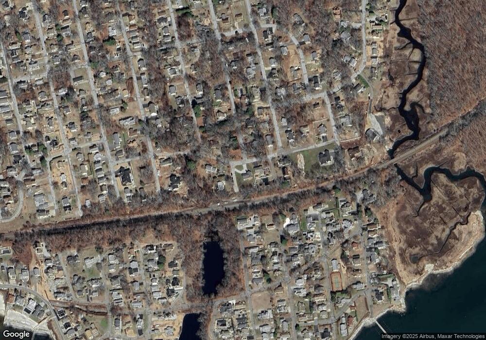
Map
Nearby Homes
- 15 Griswold Rd
- 223 Giants Neck Rd
- 46 Old Black Point Rd
- 11 Sunset Ave
- 48 Billow Rd
- 22 Riverdale Landing
- 5 Attawan Ave
- 78 Corey Ln Unit 9
- 127 Black Point Rd Unit 7
- 43 Attawan Ave
- 23 Central Ave
- 2 Riverdale Landing
- 55 Corey Ln
- 15 Freedom Way Unit 92
- 4 Jean Dr
- 97 W Main St Unit 24
- 68-70 Black Point Rd
- 47 Village Crossing Unit 47
- 14 Colton Rd
- 46 Village Crossing Unit 46