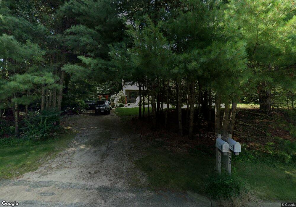
250 Chaplin Dr Coventry, RI 02816
Estimated Value: $375,656 - $481,000
1
Bed
1
Bath
768
Sq Ft
$542/Sq Ft
Est. Value
About This Home
This home is located at 250 Chaplin Dr, Coventry, RI 02816 and is currently estimated at $416,414, approximately $542 per square foot. 250 Chaplin Dr is a home located in Kent County with nearby schools including Alan Shawn Feinstein Ms Of Cov and Coventry High School.
Ownership History
Date
Name
Owned For
Owner Type
Purchase Details
Closed on
Aug 5, 2025
Sold by
Gorton Barry V
Bought by
Barry V Gorton T V and Barry Gorton
Current Estimated Value
Purchase Details
Closed on
Sep 23, 1993
Sold by
Southwind Bldrs Corp
Bought by
Gorton Barry V
Home Financials for this Owner
Home Financials are based on the most recent Mortgage that was taken out on this home.
Original Mortgage
$73,000
Interest Rate
7.1%
Purchase Details
Closed on
Jan 12, 1993
Sold by
Maple Valley Ridge
Bought by
Southwind Bldrs Corp
Home Financials for this Owner
Home Financials are based on the most recent Mortgage that was taken out on this home.
Original Mortgage
$78,000
Interest Rate
8.24%
Mortgage Type
Purchase Money Mortgage
Create a Home Valuation Report for This Property
The Home Valuation Report is an in-depth analysis detailing your home's value as well as a comparison with similar homes in the area
Home Values in the Area
Average Home Value in this Area
Purchase History
| Date | Buyer | Sale Price | Title Company |
|---|---|---|---|
| Barry V Gorton T V | -- | -- | |
| Barry V Gorton T V | -- | -- | |
| Gorton Barry V | $111,000 | -- | |
| Gorton Barry V | $111,000 | -- | |
| Southwind Bldrs Corp | $25,000 | -- | |
| Southwind Bldrs Corp | $25,000 | -- |
Source: Public Records
Mortgage History
| Date | Status | Borrower | Loan Amount |
|---|---|---|---|
| Previous Owner | Southwind Bldrs Corp | $100,000 | |
| Previous Owner | Southwind Bldrs Corp | $73,000 | |
| Previous Owner | Southwind Bldrs Corp | $78,000 |
Source: Public Records
Tax History Compared to Growth
Tax History
| Year | Tax Paid | Tax Assessment Tax Assessment Total Assessment is a certain percentage of the fair market value that is determined by local assessors to be the total taxable value of land and additions on the property. | Land | Improvement |
|---|---|---|---|---|
| 2024 | $4,833 | $305,100 | $140,900 | $164,200 |
| 2023 | $4,677 | $305,100 | $140,900 | $164,200 |
| 2022 | $4,593 | $234,700 | $122,100 | $112,600 |
| 2021 | $4,553 | $234,700 | $122,100 | $112,600 |
| 2020 | $5,220 | $234,700 | $122,100 | $112,600 |
| 2019 | $4,662 | $209,600 | $105,500 | $104,100 |
| 2018 | $4,529 | $209,600 | $105,500 | $104,100 |
| 2017 | $4,397 | $209,600 | $105,500 | $104,100 |
| 2016 | $3,663 | $171,100 | $99,800 | $71,300 |
| 2015 | $3,564 | $171,100 | $99,800 | $71,300 |
| 2014 | $3,490 | $171,100 | $99,800 | $71,300 |
| 2013 | $3,381 | $181,200 | $111,800 | $69,400 |
Source: Public Records
Map
Nearby Homes
- 0 Maple Valley Rd Unit 1389723
- 1204 Town Farm Rd
- 30 Hollywood Ave
- 142 Vine St
- 0 Hollywood Ave
- 375 Franklin Rd
- 6 Boyd Brook Cir
- 38 Audubon Ln
- 225 Matteson Rd
- 145 Phillips Hill Rd
- 93 Provident Place
- 1 Bowen Hill Rd
- 260 George Washington Hwy
- 413 Hill Farm Rd
- 0 Poor Farm Lot 67 Rd
- 20 Cassidy Trail
- 22 Cassidy Trail
- 24 Cassidy Trail
- 33 Cassidy Trail
- 3 Aster Ln