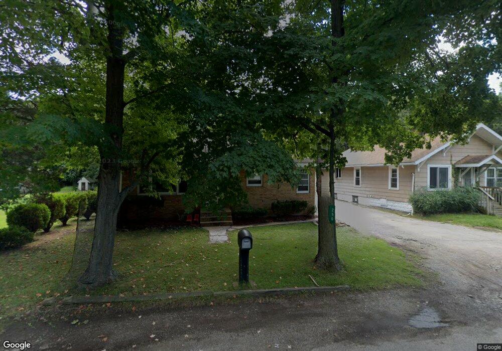
250 Eastern Ave Benton Harbor, MI 49022
Fair Plain NeighborhoodEstimated Value: $132,000 - $177,000
Studio
--
Bath
1,050
Sq Ft
$142/Sq Ft
Est. Value
About This Home
This home is located at 250 Eastern Ave, Benton Harbor, MI 49022 and is currently estimated at $149,349, approximately $142 per square foot. 250 Eastern Ave is a home located in Berrien County with nearby schools including Fair Plain Middle School, Benton Harbor High School, and Benton Harbor Charter School Academy.
Ownership History
Date
Name
Owned For
Owner Type
Purchase Details
Closed on
Nov 3, 2003
Sold by
1031 Exchange Llc
Bought by
Parker Jammie G
Current Estimated Value
Home Financials for this Owner
Home Financials are based on the most recent Mortgage that was taken out on this home.
Original Mortgage
$69,900
Outstanding Balance
$32,428
Interest Rate
6.01%
Mortgage Type
Purchase Money Mortgage
Estimated Equity
$116,921
Purchase Details
Closed on
Jun 22, 1986
Create a Home Valuation Report for This Property
The Home Valuation Report is an in-depth analysis detailing your home's value as well as a comparison with similar homes in the area
Home Values in the Area
Average Home Value in this Area
Purchase History
| Date | Buyer | Sale Price | Title Company |
|---|---|---|---|
| Parker Jammie G | $69,900 | Chicago Title | |
| -- | -- | -- |
Source: Public Records
Mortgage History
| Date | Status | Borrower | Loan Amount |
|---|---|---|---|
| Open | Parker Jammie G | $69,900 |
Source: Public Records
Tax History
| Year | Tax Paid | Tax Assessment Tax Assessment Total Assessment is a certain percentage of the fair market value that is determined by local assessors to be the total taxable value of land and additions on the property. | Land | Improvement |
|---|---|---|---|---|
| 2025 | $2,782 | $61,400 | $0 | $0 |
| 2024 | $1,538 | $57,400 | $0 | $0 |
| 2023 | $1,465 | $55,700 | $0 | $0 |
| 2022 | $1,395 | $50,100 | $0 | $0 |
| 2021 | $1,242 | $46,500 | $1,100 | $45,400 |
| 2020 | $1,843 | $46,300 | $0 | $0 |
| 2019 | $1,880 | $39,600 | $800 | $38,800 |
| 2018 | $1,172 | $39,600 | $0 | $0 |
| 2017 | $1,159 | $39,000 | $0 | $0 |
| 2016 | $1,125 | $38,300 | $0 | $0 |
| 2015 | $1,122 | $39,300 | $0 | $0 |
| 2014 | $581 | $35,500 | $0 | $0 |
Source: Public Records
Map
Nearby Homes
- 270 Helmar Ct
- 180 Emery Ave
- V/L Mcalister
- 1238 Broadway
- 1216 Broadway
- 1342 Monroe St
- 1096 Pearl St
- 1190 Monroe St
- 1199 Monroe St
- 379 Western Ave
- 1772 Lombard St
- 161 Eloise Dr
- 1064 Ogden Ave
- 979 Lavette Ave
- 973 Lavette Ave
- 955 Colfax Ave
- 1309 Agard Ave
- 266 Parker Ave
- 177 Hastings Ave
- 167 E Delaware Ave
- 244 Eastern Ave
- 240 Eastern Ave
- 240 Eastern Ave
- 264 Eastern Ave
- 224 Eastern Ave
- 257 Eastern Ave
- 274 Eastern Ave
- 235 Eastern Ave
- 223 Eastern Ave
- 273 Eastern Ave
- 208 Eastern Ave
- 294 Eastern Ave
- 207 Eastern Ave
- 1490 Broadway
- 241 Hampton Rd
- 298 Eastern Ave
- 192 Eastern Ave
- 1502 Broadway
- 233 Hampton Rd
- 265 Hampton Rd
Your Personal Tour Guide
Ask me questions while you tour the home.