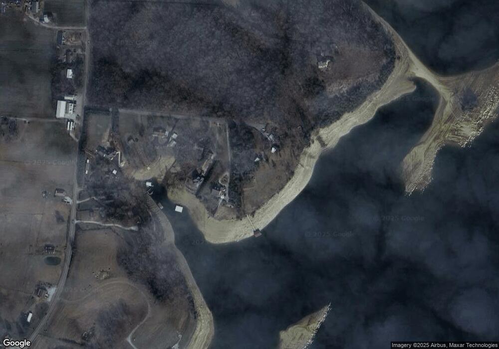
250 Fox Ln Rutledge, TN 37861
Estimated Value: $443,000 - $927,000
--
Bed
--
Bath
1,654
Sq Ft
$385/Sq Ft
Est. Value
About This Home
This home is located at 250 Fox Ln, Rutledge, TN 37861 and is currently estimated at $636,679, approximately $384 per square foot. 250 Fox Ln is a home with nearby schools including Rutledge Primary School, Rutledge Elementary School, and Rutledge Middle School.
Ownership History
Date
Name
Owned For
Owner Type
Purchase Details
Closed on
Oct 19, 2006
Sold by
Batista Melissa
Bought by
Fishburne Claude M
Current Estimated Value
Home Financials for this Owner
Home Financials are based on the most recent Mortgage that was taken out on this home.
Original Mortgage
$320,000
Outstanding Balance
$191,753
Interest Rate
6.63%
Mortgage Type
Cash
Estimated Equity
$444,926
Purchase Details
Closed on
Mar 2, 1990
Bought by
Kennedy Jack and Kennedy Judy
Purchase Details
Closed on
Mar 20, 1981
Bought by
Maples Carl
Create a Home Valuation Report for This Property
The Home Valuation Report is an in-depth analysis detailing your home's value as well as a comparison with similar homes in the area
Home Values in the Area
Average Home Value in this Area
Purchase History
| Date | Buyer | Sale Price | Title Company |
|---|---|---|---|
| Fishburne Claude M | $410,000 | -- | |
| Kennedy Jack | $13,900 | -- | |
| Maples Carl | -- | -- |
Source: Public Records
Mortgage History
| Date | Status | Borrower | Loan Amount |
|---|---|---|---|
| Open | Maples Carl | $320,000 |
Source: Public Records
Tax History Compared to Growth
Tax History
| Year | Tax Paid | Tax Assessment Tax Assessment Total Assessment is a certain percentage of the fair market value that is determined by local assessors to be the total taxable value of land and additions on the property. | Land | Improvement |
|---|---|---|---|---|
| 2025 | $1,729 | $73,575 | $0 | $0 |
| 2024 | $1,729 | $73,575 | $26,050 | $47,525 |
| 2023 | $1,729 | $73,575 | $26,050 | $47,525 |
| 2022 | $1,690 | $73,575 | $26,050 | $47,525 |
| 2021 | $1,690 | $73,575 | $26,050 | $47,525 |
| 2020 | $1,534 | $73,575 | $26,050 | $47,525 |
| 2019 | $1,534 | $54,800 | $15,200 | $39,600 |
| 2018 | $1,326 | $54,800 | $15,200 | $39,600 |
| 2017 | $1,326 | $54,800 | $15,200 | $39,600 |
| 2016 | $1,326 | $54,800 | $15,200 | $39,600 |
| 2015 | $1,479 | $54,800 | $15,200 | $39,600 |
| 2014 | $1,479 | $59,174 | $0 | $0 |
Source: Public Records
Map
Nearby Homes
- 254 Alberts Cove
- Lot 21R 1 Coffey Heights
- 1623 Fledgling Ln
- 1888 Wilderness Dr
- 463 Heather Brook Dr
- 487 Heather Brook Dr
- 7750 Melanie Cir
- 7713 Melanie Cir
- 292 Burkhart Rd
- 7574 W Pierce Dr
- 7358 Circle Point Dr
- 0 Boxwood Ln
- 2107 Windy Cove Ln
- 2562 Liberty Rd
- 880 Gray Rd
- 7717 Greenbriar Rd
- 8070 W Pointe Dr
- 4109 Tennessee 92
- 1437 Beacon Rd
- 8020 W Pointe Dr
- 294 Red Fox Ln
- 236 Red Fox Ln
- 224 Red Fox Ln
- 208 Red Fox Ln
- 176 Red Fox Ln
- 14795 Lakeshore Dr
- 134 Red Fox Ln
- 14565 Lakeshore Dr
- 14741 Lakeshore Dr
- 14765 Lakeshore Dr
- 14901 Lakeshore Dr
- 14680 Lakeshore Dr
- 14650 Lakeshore Dr
- 14520 Lakeshore Dr
- 14520 Lakeshore Dr
- 14928 Lakeshore Dr
- 329 Alberts Cove
- 311 Alberts Cove
- 14315 Lakeshore Dr
- 14315 Lakeshore Dr
