250 Jeridan Dr West Union, OH 45693
Estimated Value: $411,000
--
Bed
2
Baths
2,214
Sq Ft
$186/Sq Ft
Est. Value
About This Home
This home is located at 250 Jeridan Dr, West Union, OH 45693 and is currently estimated at $411,000, approximately $185 per square foot. 250 Jeridan Dr is a home located in Adams County with nearby schools including West Union Elementary School, West Union High School, and Adams County Christian School.
Ownership History
Date
Name
Owned For
Owner Type
Purchase Details
Closed on
May 12, 2016
Sold by
Mcfarland Shawn N and Mcfarland Diane N
Bought by
Hayslip Robert M and Hayslip Krista L
Current Estimated Value
Create a Home Valuation Report for This Property
The Home Valuation Report is an in-depth analysis detailing your home's value as well as a comparison with similar homes in the area
Home Values in the Area
Average Home Value in this Area
Purchase History
| Date | Buyer | Sale Price | Title Company |
|---|---|---|---|
| Hayslip Robert M | $28,500 | None Available |
Source: Public Records
Tax History Compared to Growth
Tax History
| Year | Tax Paid | Tax Assessment Tax Assessment Total Assessment is a certain percentage of the fair market value that is determined by local assessors to be the total taxable value of land and additions on the property. | Land | Improvement |
|---|---|---|---|---|
| 2024 | $2,902 | $87,370 | $14,040 | $73,330 |
| 2023 | $2,899 | $87,370 | $14,040 | $73,330 |
| 2022 | $2,899 | $72,630 | $11,340 | $61,290 |
| 2021 | $2,612 | $72,630 | $11,340 | $61,290 |
| 2020 | $2,669 | $72,630 | $11,340 | $61,290 |
| 2019 | $2,669 | $72,630 | $11,340 | $61,290 |
| 2018 | $2,329 | $63,180 | $9,870 | $53,310 |
| 2017 | $277 | $7,630 | $7,630 | $0 |
| 2016 | $276 | $7,630 | $7,630 | $0 |
| 2015 | $241 | $6,900 | $6,900 | $0 |
| 2014 | $242 | $6,900 | $6,900 | $0 |
Source: Public Records
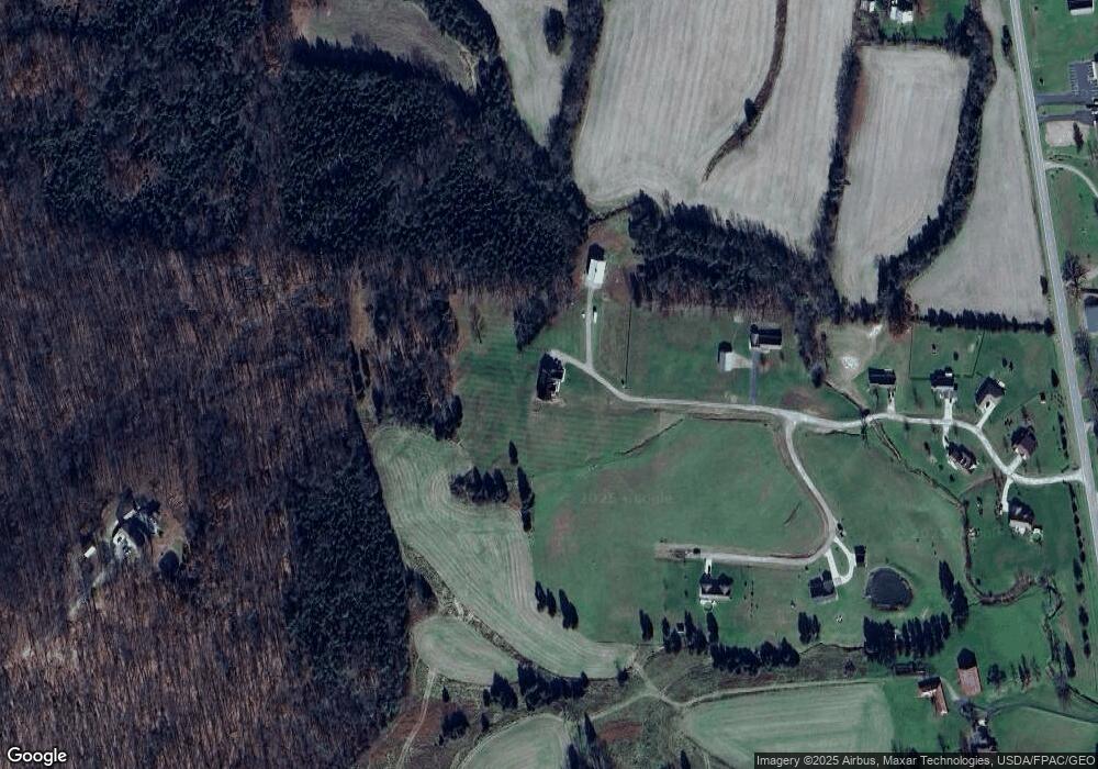
Map
Nearby Homes
- 4400 Chapparal Rd
- 3287 Chapparal Rd
- 3 Chapparal Rd
- 2 Chapparal Rd
- 1 Chapparal Rd
- 4 Chapparal Rd
- 0 State Route 41 Unit 1830107
- 917 Logans Ln
- 80 Madonna Dr
- 93 Jose Dr
- 86 Hawk Hill Rd
- 70 Logans Ln
- 204 E North St
- 260 Randy St
- 618 Maple St
- 120 Randy St
- 302 W Main St
- 216 Kurt St
- 12196 State Route 41
- 501 E Mulberry St
- 60 Landsbrook Dr
- 41 Landsbrook Dr
- 77 Landsbrook Dr
- 100 Jeridan Dr
- 186 Jeridan Dr
- 84 Jeridan Dr
- 65 Jeridan Dr
- 135 Landsbrook Dr
- 195 Jeridan Dr
- 60 Jeridan Dr
- 46 Jeridan Dr
- 31 Jeridan Dr
- 9494 State Route 247
- 9474 State Route 247
- 9456 State Route 247
- 9520 State Route 247
- 9520 State Route 247
- 9299 State Route 247
- 22 Spencer Rd
- 9414 State Route 247