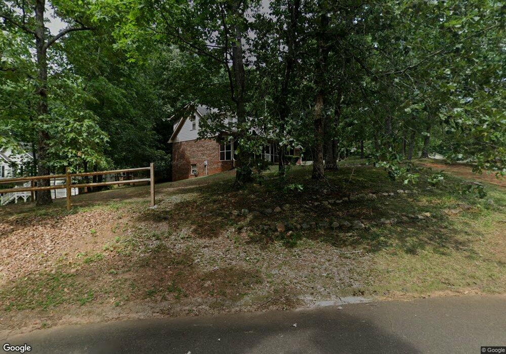
250 Mountain Crest Dr Unit I Canton, GA 30114
Estimated Value: $400,305 - $435,000
3
Beds
2
Baths
2,104
Sq Ft
$199/Sq Ft
Est. Value
About This Home
This home is located at 250 Mountain Crest Dr Unit I, Canton, GA 30114 and is currently estimated at $417,653, approximately $198 per square foot. 250 Mountain Crest Dr Unit I is a home located in Cherokee County with nearby schools including R. M. Moore Elementary School, Teasley Middle School, and Cherokee High School.
Ownership History
Date
Name
Owned For
Owner Type
Purchase Details
Closed on
Nov 30, 2001
Sold by
Carden Paul and Carden Mary L
Bought by
Carden Craig A and Carden Carloine D
Current Estimated Value
Home Financials for this Owner
Home Financials are based on the most recent Mortgage that was taken out on this home.
Original Mortgage
$125,000
Outstanding Balance
$47,498
Interest Rate
6.49%
Estimated Equity
$370,155
Create a Home Valuation Report for This Property
The Home Valuation Report is an in-depth analysis detailing your home's value as well as a comparison with similar homes in the area
Home Values in the Area
Average Home Value in this Area
Purchase History
| Date | Buyer | Sale Price | Title Company |
|---|---|---|---|
| Carden Craig A | $128,900 | -- |
Source: Public Records
Mortgage History
| Date | Status | Borrower | Loan Amount |
|---|---|---|---|
| Open | Carden Craig A | $125,000 |
Source: Public Records
Tax History Compared to Growth
Tax History
| Year | Tax Paid | Tax Assessment Tax Assessment Total Assessment is a certain percentage of the fair market value that is determined by local assessors to be the total taxable value of land and additions on the property. | Land | Improvement |
|---|---|---|---|---|
| 2025 | $3,008 | $132,288 | $30,000 | $102,288 |
| 2024 | $2,946 | $129,968 | $30,000 | $99,968 |
| 2023 | $2,339 | $121,808 | $22,000 | $99,808 |
| 2022 | $2,369 | $101,208 | $22,000 | $79,208 |
| 2021 | $2,006 | $77,008 | $18,000 | $59,008 |
| 2020 | $1,745 | $65,688 | $18,000 | $47,688 |
| 2019 | $1,756 | $66,160 | $18,000 | $48,160 |
| 2018 | $1,681 | $62,600 | $18,000 | $44,600 |
| 2017 | $1,660 | $152,900 | $18,000 | $43,160 |
| 2016 | $1,280 | $115,700 | $8,800 | $37,480 |
| 2015 | $1,255 | $112,500 | $8,800 | $36,200 |
| 2014 | $1,186 | $106,400 | $8,800 | $33,760 |
Source: Public Records
Map
Nearby Homes
- 569 Byrd Mountain Ln
- 110 Canyon Ridge Trail
- 437 Mccurry Trail
- 782 Lower Burris Rd
- 234 Laurel Vista Dr
- 236 Laurel Vista Dr
- The Fullerton Plan at Horizon at Laurel Canyon
- The Pinehurst Plan at Horizon at Laurel Canyon
- The Wellington Plan at Horizon at Laurel Canyon
- The Waveland Plan at Horizon at Laurel Canyon
- The York Plan at Horizon at Laurel Canyon
- The Cambridge Plan at Horizon at Laurel Canyon
- 226 Crescent Moon Way
- 106 Twilight Overlook
- 737 Sardis Cir
- 123 Longleaf Dr
- 735 Sardis Cir
- 239 Crescent Moon Way
- 544 Sardis Cir
- 300 Sky High Trail
- 270 Mountain Crest Dr
- 166 Mountain Crest Dr
- 273 Mountain Crest Dr
- 265 Mountain Crest Dr
- 233 Mountain Crest Dr
- 330 Mountain Crest Dr
- 277 Mountain Crest Dr
- 130 Mountain Crest Dr Unit 1
- 271 Mountain Crest Dr
- 207 Mountain Crest Dr
- 0000 Sam Nelson Rd
- 00000 Sam Nelson Rd
- 000 Sam Nelson Rd
- 0 Sam Nelson Rd Unit 3155673
- 0 Sam Nelson Rd Unit 4299114
- 293 Mountain Crest Dr
- 01 Sam Nelson Rd
- 114 Mountain Crest Dr
- 360 Mountain Crest Dr
- 153 Mountain Crest Dr