250 Worcester St Unit 2 West Boylston, MA 01583
Estimated Value: $522,468 - $574,000
3
Beds
3
Baths
2,084
Sq Ft
$267/Sq Ft
Est. Value
About This Home
This home is located at 250 Worcester St Unit 2, West Boylston, MA 01583 and is currently estimated at $556,367, approximately $266 per square foot. 250 Worcester St Unit 2 is a home located in Worcester County with nearby schools including Major Edwards Elementary School, West Boylston Junior/Senior High School, and Abby Kelley Foster Charter Public School.
Ownership History
Date
Name
Owned For
Owner Type
Purchase Details
Closed on
Jun 28, 2011
Sold by
Merritt William M and Merritt Cynthia L
Bought by
Merritt Rachel L and Senosk Christopher
Current Estimated Value
Home Financials for this Owner
Home Financials are based on the most recent Mortgage that was taken out on this home.
Original Mortgage
$240,000
Outstanding Balance
$161,083
Interest Rate
4%
Mortgage Type
Purchase Money Mortgage
Estimated Equity
$395,284
Purchase Details
Closed on
Feb 8, 2007
Sold by
Gatebrook Landing Inc
Bought by
Merritt Cynthia L and Merritt William
Create a Home Valuation Report for This Property
The Home Valuation Report is an in-depth analysis detailing your home's value as well as a comparison with similar homes in the area
Home Values in the Area
Average Home Value in this Area
Purchase History
| Date | Buyer | Sale Price | Title Company |
|---|---|---|---|
| Merritt Rachel L | $300,000 | -- | |
| Merritt Cynthia L | $48,000 | -- |
Source: Public Records
Mortgage History
| Date | Status | Borrower | Loan Amount |
|---|---|---|---|
| Open | Merritt Rachel L | $240,000 |
Source: Public Records
Tax History Compared to Growth
Tax History
| Year | Tax Paid | Tax Assessment Tax Assessment Total Assessment is a certain percentage of the fair market value that is determined by local assessors to be the total taxable value of land and additions on the property. | Land | Improvement |
|---|---|---|---|---|
| 2025 | $65 | $469,400 | $0 | $469,400 |
| 2024 | $6,385 | $432,000 | $0 | $432,000 |
| 2023 | $5,646 | $362,400 | $0 | $362,400 |
| 2022 | $5,532 | $312,900 | $0 | $312,900 |
| 2021 | $5,848 | $316,800 | $0 | $316,800 |
| 2020 | $5,470 | $294,400 | $0 | $294,400 |
| 2019 | $5,389 | $285,900 | $0 | $285,900 |
| 2018 | $5,300 | $283,100 | $0 | $283,100 |
| 2017 | $5,204 | $276,800 | $0 | $276,800 |
| 2016 | $5,048 | $273,600 | $0 | $273,600 |
| 2015 | $4,348 | $237,100 | $0 | $237,100 |
Source: Public Records
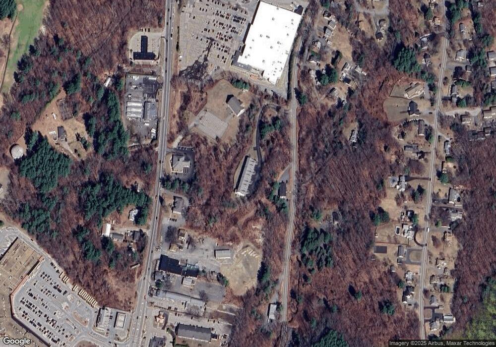
Map
Nearby Homes
- 54 Maple St
- 39 Davidson Rd
- 1 Highland Ave
- 12 Birchbrush Ln
- 1 Juneberry Ln Unit 82
- 740 Burncoat St Unit B
- 33 Isleboro St
- 29 Isleboro St
- 535 Prospect St
- 156 Hillside Village Dr
- 1110 W Boylston St Unit A
- 23 Orono St
- 15 Cumberland St
- 71 Hillside Village Dr
- 10 Beale St
- 22 Danielles Way
- 26 Danielles Way
- 31 Danielles Way
- 21 Wyoming Dr
- 9 Idalla Ave
- 250 Worcester St Unit 14
- 250 Worcester St Unit 12
- 250 Worcester St Unit 10
- 250 Worcester St Unit 8
- 250 Worcester St Unit 6
- 250 Worcester St Unit 4
- 149 W Boylston St
- 165 W Boylston St
- 163 W Boylston St Unit 1
- 152 W Boylston St
- 247 Worcester St
- 221 Worcester St
- B 219 Worcester St
- 10 Brayton Rd
- 164 W Boylston St
- 13 Howard Ave
- 168 W Boylston St
- 272 Worcester St
- 137 W Boylston St
- 9 Howard Ave