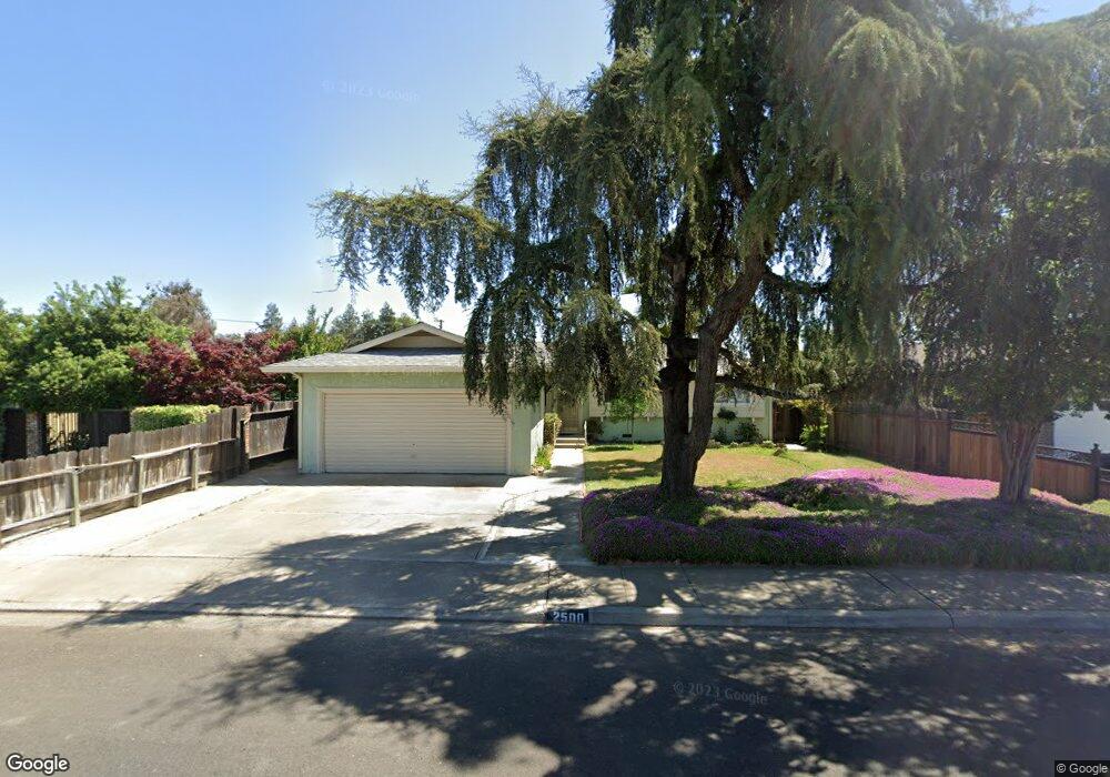
2500 Annhurst Ave Turlock, CA 95382
Estimated Value: $397,000 - $465,000
3
Beds
2
Baths
1,419
Sq Ft
$304/Sq Ft
Est. Value
About This Home
This home is located at 2500 Annhurst Ave, Turlock, CA 95382 and is currently estimated at $431,744, approximately $304 per square foot. 2500 Annhurst Ave is a home located in Stanislaus County with nearby schools including Crowell Elementary School, Marvin A. Dutcher Middle School, and Turlock Junior High School.
Ownership History
Date
Name
Owned For
Owner Type
Purchase Details
Closed on
Jul 13, 2012
Sold by
Jamali Joseph J and Jamal Juliette
Bought by
Jamali Joseph J
Current Estimated Value
Purchase Details
Closed on
Apr 23, 2010
Sold by
Jamali Joseph J
Bought by
Jamali Joseph J and Jamal Juliette
Purchase Details
Closed on
Mar 25, 2010
Sold by
Jamali Zakaria J and Jamali Lyda J
Bought by
Jamali Joseph J
Purchase Details
Closed on
Feb 10, 1994
Sold by
Jamali Joseph J
Bought by
Jamali Zakaria J and Jamali Lyda J
Create a Home Valuation Report for This Property
The Home Valuation Report is an in-depth analysis detailing your home's value as well as a comparison with similar homes in the area
Purchase History
| Date | Buyer | Sale Price | Title Company |
|---|---|---|---|
| Jamali Joseph J | -- | None Available | |
| Jamali Joseph J | -- | None Available | |
| Jamali Joseph J | -- | None Available | |
| Jamali Zakaria J | -- | -- |
Source: Public Records
Tax History
| Year | Tax Paid | Tax Assessment Tax Assessment Total Assessment is a certain percentage of the fair market value that is determined by local assessors to be the total taxable value of land and additions on the property. | Land | Improvement |
|---|---|---|---|---|
| 2025 | $2,328 | $223,835 | $75,990 | $147,845 |
| 2024 | $2,283 | $219,447 | $74,500 | $144,947 |
| 2023 | $2,278 | $215,145 | $73,040 | $142,105 |
| 2022 | $2,248 | $210,927 | $71,608 | $139,319 |
| 2021 | $2,214 | $206,792 | $70,204 | $136,588 |
| 2020 | $2,198 | $204,673 | $69,485 | $135,188 |
| 2019 | $2,159 | $200,661 | $68,123 | $132,538 |
| 2018 | $2,156 | $196,728 | $66,788 | $129,940 |
| 2017 | $2,104 | $192,872 | $65,479 | $127,393 |
| 2016 | $1,963 | $189,092 | $64,196 | $124,896 |
| 2015 | $1,946 | $186,252 | $63,232 | $123,020 |
| 2014 | $1,647 | $157,196 | $50,617 | $106,579 |
Source: Public Records
Map
Nearby Homes
- 2720 Brooks Ct
- 680 Sherri Way
- 125 Hedstrom Rd
- 3140 Kellogg Ave
- 345 Riviera Way
- 2905 Niagra St Unit 257
- 2900 Andre Ln Unit 241
- 100 Pedras Rd
- 3161 Bridgeport Ct
- 1733 Geer Rd
- 2140 Georgia Way
- 3361 Vanderbilt Ave
- 1880 Donnelly Park Dr
- 3148 Andre Ln
- 3036 Andre Ln
- 517 W Tuolumne Rd
- 2241 Rochelle Ave
- 2140 Rochelle Ave
- 1740 Colorado Ave
- 3661 La Mancha Place
- 2504 Annhurst Ave
- 2505 Greenboro St
- 2412 Annhurst Ave
- 2508 Annhurst Ave
- 2485 Greenboro St
- 2525 Greenboro St
- 2501 Annhurst Ave
- 2465 Greenboro St
- 2545 Greenboro St
- 2505 Annhurst Ave
- 2417 Annhurst Ave
- 2408 Annhurst Ave
- 360 E Minnesota Ave
- 2509 Annhurst Ave
- 2413 Annhurst Ave
- 2445 Greenboro St
- 380 E Minnesota Ave
- 340 E Minnesota Ave
- 2404 Annhurst Ave
- 2409 Annhurst Ave
Your Personal Tour Guide
Ask me questions while you tour the home.