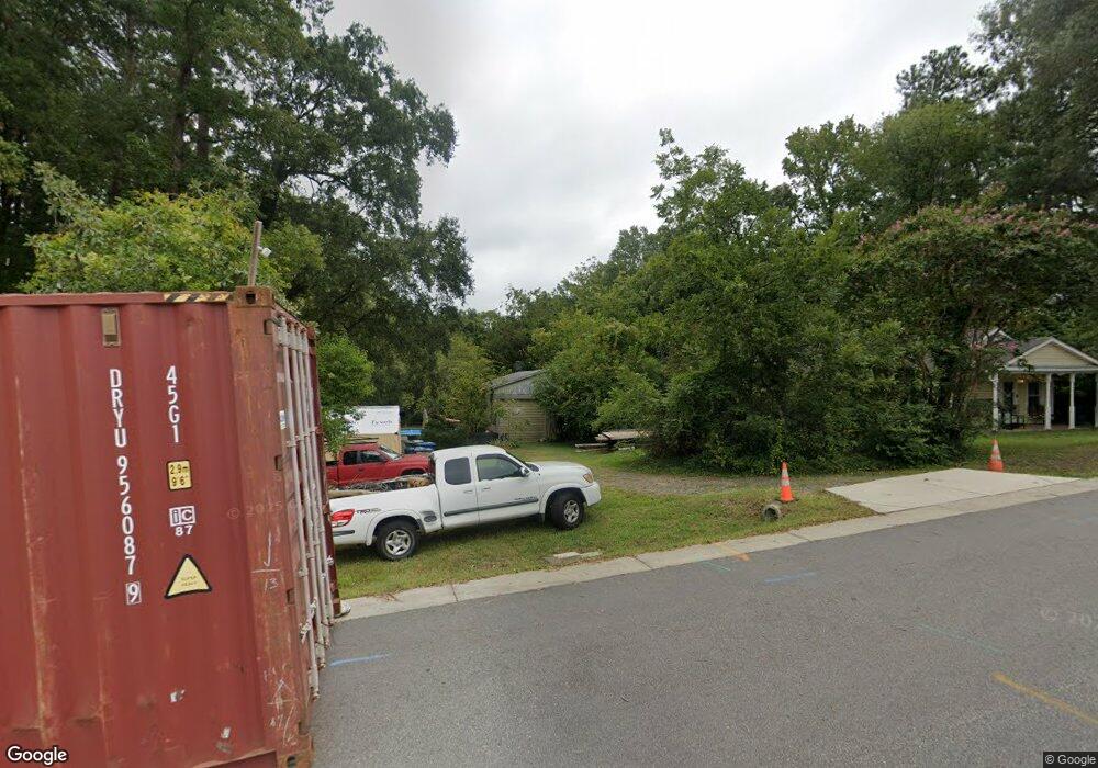
2500 Lednum St Durham, NC 27705
Duke Homestead NeighborhoodEstimated Value: $345,000 - $394,096
3
Beds
2
Baths
1,306
Sq Ft
$286/Sq Ft
Est. Value
About This Home
This home is located at 2500 Lednum St, Durham, NC 27705 and is currently estimated at $373,524, approximately $286 per square foot. 2500 Lednum St is a home located in Durham County with nearby schools including E K Powe Elementary, W.G. Pearson Elementary School, and Brogden Middle.
Ownership History
Date
Name
Owned For
Owner Type
Purchase Details
Closed on
Dec 19, 2017
Sold by
Craft Sarah A
Bought by
Stokes Ryan C
Current Estimated Value
Home Financials for this Owner
Home Financials are based on the most recent Mortgage that was taken out on this home.
Original Mortgage
$163,125
Outstanding Balance
$137,195
Interest Rate
3.9%
Mortgage Type
New Conventional
Estimated Equity
$236,329
Purchase Details
Closed on
Sep 7, 2010
Sold by
Craft Thomas D and Craft Sarah A
Bought by
Craft Sarah A
Create a Home Valuation Report for This Property
The Home Valuation Report is an in-depth analysis detailing your home's value as well as a comparison with similar homes in the area
Home Values in the Area
Average Home Value in this Area
Purchase History
| Date | Buyer | Sale Price | Title Company |
|---|---|---|---|
| Stokes Ryan C | $217,500 | None Available | |
| Craft Sarah A | -- | None Available |
Source: Public Records
Mortgage History
| Date | Status | Borrower | Loan Amount |
|---|---|---|---|
| Open | Stokes Ryan C | $163,125 |
Source: Public Records
Tax History
| Year | Tax Paid | Tax Assessment Tax Assessment Total Assessment is a certain percentage of the fair market value that is determined by local assessors to be the total taxable value of land and additions on the property. | Land | Improvement |
|---|---|---|---|---|
| 2025 | $3,755 | $378,824 | $238,875 | $139,949 |
| 2024 | $2,967 | $212,683 | $73,237 | $139,446 |
| 2023 | $2,786 | $212,683 | $73,237 | $139,446 |
| 2022 | $2,722 | $212,683 | $73,237 | $139,446 |
| 2021 | $2,709 | $212,683 | $73,237 | $139,446 |
| 2020 | $2,646 | $212,683 | $73,237 | $139,446 |
| 2019 | $2,646 | $212,683 | $73,237 | $139,446 |
| 2018 | $2,073 | $152,798 | $43,515 | $109,283 |
| 2017 | $2,057 | $152,798 | $43,515 | $109,283 |
| 2016 | $1,988 | $152,798 | $43,515 | $109,283 |
| 2015 | $1,821 | $131,533 | $30,259 | $101,274 |
| 2014 | $1,821 | $131,533 | $30,259 | $101,274 |
Source: Public Records
Map
Nearby Homes
- 2503 Lednum St
- 1208 W Murray Ave
- 1214 W Murray Ave
- 2312 Broad St
- 2308 Broad St
- 2306 Broad St
- 2304 Broad St
- 2302 Broad St
- 3021 Glendale Ave
- 809 Leon St
- 1411 Leon St
- 1419 Leon St
- 1314 Hudson Ave
- 915 E Hudson Ave
- 2705 Broad St
- 1812 Birmingham Ave
- 1309 Hudson Ave Unit D3
- 1309 Hudson Ave Unit D13
- 1309 Hudson Ave Unit C8
- 1309 Hudson Ave Unit C11
- 1114 W Murray Ave
- 2505 Lednum St
- 1112 W Murray Ave
- 1110 W Murray Ave
- 1200 W Murray Ave
- 1108 W Murray Ave
- 1202 W Murray Ave
- 1106 W Murray Ave
- 1204 W Murray Ave
- 1102 W Murray Ave
- 1013 Nassau St
- 1104 W Murray Ave
- 1020 W Murray Ave
- 1206 W Murray Ave
- 1208 W Murray Ave Unit ID1300717P
- 1115 W Murray Ave
- 1113 W Murray Ave
- 1201 W Murray Ave
- 1201 W Murray Ave Unit 10A
- 1018 W Murray Ave
